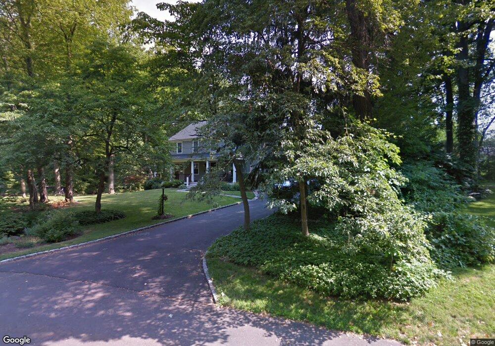
234 Stonybrook Rd Fairfield, CT 06824
University NeighborhoodEstimated Value: $1,185,000 - $2,058,000
5
Beds
5
Baths
4,103
Sq Ft
$428/Sq Ft
Est. Value
About This Home
This home is located at 234 Stonybrook Rd, Fairfield, CT 06824 and is currently estimated at $1,755,092, approximately $427 per square foot. 234 Stonybrook Rd is a home located in Fairfield County with nearby schools including Osborn Hill Elementary School, Fairfield Woods Middle School, and Fairfield Ludlowe High School.
Ownership History
Date
Name
Owned For
Owner Type
Purchase Details
Closed on
Aug 3, 2000
Sold by
Brady Tr Shelley D
Bought by
Smith Robert J and Smith Tanya R
Current Estimated Value
Create a Home Valuation Report for This Property
The Home Valuation Report is an in-depth analysis detailing your home's value as well as a comparison with similar homes in the area
Home Values in the Area
Average Home Value in this Area
Purchase History
| Date | Buyer | Sale Price | Title Company |
|---|---|---|---|
| Smith Robert J | $565,000 | -- | |
| Smith Robert J | $565,000 | -- |
Source: Public Records
Mortgage History
| Date | Status | Borrower | Loan Amount |
|---|---|---|---|
| Open | Smith Robert J | $797,429 | |
| Closed | Smith Robert J | $800,000 | |
| Closed | Smith Robert J | $550,000 |
Source: Public Records
Tax History
| Year | Tax Paid | Tax Assessment Tax Assessment Total Assessment is a certain percentage of the fair market value that is determined by local assessors to be the total taxable value of land and additions on the property. | Land | Improvement |
|---|---|---|---|---|
| 2025 | $21,606 | $761,040 | $313,390 | $447,650 |
| 2024 | $21,233 | $761,040 | $313,390 | $447,650 |
| 2023 | $20,936 | $761,040 | $313,390 | $447,650 |
| 2022 | $20,731 | $761,040 | $313,390 | $447,650 |
| 2021 | $20,533 | $761,040 | $313,390 | $447,650 |
| 2020 | $19,983 | $745,920 | $280,700 | $465,220 |
| 2019 | $19,983 | $745,920 | $280,700 | $465,220 |
| 2018 | $19,662 | $745,920 | $280,700 | $465,220 |
| 2017 | $19,260 | $745,920 | $280,700 | $465,220 |
| 2016 | $18,984 | $745,920 | $280,700 | $465,220 |
| 2015 | $18,936 | $763,840 | $307,860 | $455,980 |
| 2014 | $18,638 | $763,840 | $307,860 | $455,980 |
Source: Public Records
Map
Nearby Homes
- 42 Robin Cir
- 68 Figlar Ave
- 196 Robin Ln
- 359 Reid St
- 245 Reid St
- 341 Crestwood Rd
- 1478 Jennings Rd
- 11 Tuckahoe Ln
- 41 Pepperbush Ln
- 378 High St
- 28 Country Rd
- 115 Mayfair Rd
- 274 High St
- 12 Sugar Plum Ln
- 158 Mayfair Rd
- 12 Reynolds Dr
- 240 Sunnyridge Ave Unit 63
- 706 Judd St
- 15 Barton Rd
- 70 Meadow Ridge Rd
- 214 Stonybrook Rd
- 249 Figlar Ave
- 265 Figlar Ave
- 235 Figlar Ave
- 26 Rock Major Rd
- 279 Figlar Ave
- 219 Figlar Ave
- 250 Glen Arden Dr
- 174 Stonybrook Rd
- 205 Figlar Ave
- 56 Rock Major Rd
- 323 Stonybrook Rd
- 244 Figlar Ave
- 208 Figlar Ave
- 295 Figlar Ave
- 276 Figlar Ave
- 181 Nutmeg Ln
- 198 Glen Arden Dr
- 150 Stonybrook Rd
Your Personal Tour Guide
Ask me questions while you tour the home.