Estimated Value: $213,000 - $234,000
Studio
--
Bath
2,000
Sq Ft
$112/Sq Ft
Est. Value
About This Home
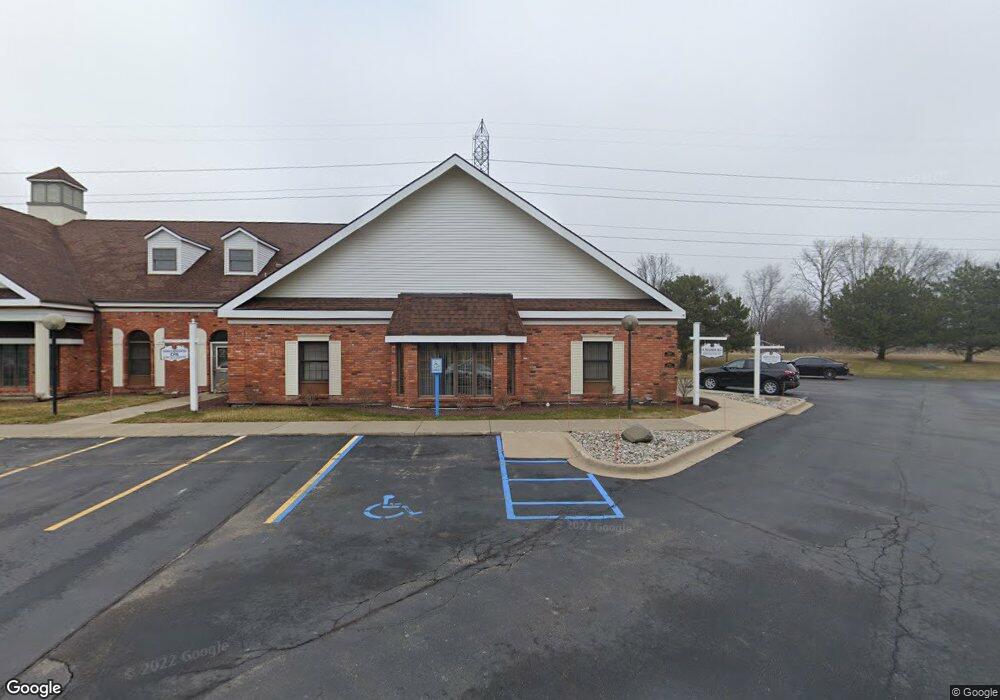
This home is located at 2340 Stonebridge Dr, Flint, MI 48532 and is currently estimated at $224,907, approximately $112 per square foot. 2340 Stonebridge Dr is a home located in Genesee County with nearby schools including Elms Road Elementary School, Syring Elementary School, and Morrish Elementary School.
Ownership History
Date
Name
Owned For
Owner Type
Purchase Details
Closed on
Nov 30, 2015
Sold by
Goe Jeo Llc
Bought by
Nyma Properties Llc
Current Estimated Value
Purchase Details
Closed on
Aug 24, 2006
Sold by
Taylor Investment Properties Inc
Bought by
Geo Joe Llc
Home Financials for this Owner
Home Financials are based on the most recent Mortgage that was taken out on this home.
Original Mortgage
$132,000
Interest Rate
6.88%
Mortgage Type
Commercial
Create a Home Valuation Report for This Property
The Home Valuation Report is an in-depth analysis detailing your home's value as well as a comparison with similar homes in the area
Home Values in the Area
Average Home Value in this Area
Purchase History
| Date | Buyer | Sale Price | Title Company |
|---|---|---|---|
| Nyma Properties Llc | $68,000 | First American Title Ins Co | |
| Geo Joe Llc | $165,000 | Cislo Title Co | |
| Taylor Investment Properties Inc | -- | Cislo Title Co |
Source: Public Records
Mortgage History
| Date | Status | Borrower | Loan Amount |
|---|---|---|---|
| Previous Owner | Geo Joe Llc | $132,000 |
Source: Public Records
Tax History
| Year | Tax Paid | Tax Assessment Tax Assessment Total Assessment is a certain percentage of the fair market value that is determined by local assessors to be the total taxable value of land and additions on the property. | Land | Improvement |
|---|---|---|---|---|
| 2025 | $5,714 | $144,300 | $0 | $0 |
| 2024 | $4,033 | $136,800 | $0 | $0 |
| 2023 | $3,844 | $133,900 | $0 | $0 |
| 2022 | $3,060 | $130,900 | $0 | $0 |
| 2021 | $1,499 | $126,100 | $0 | $0 |
| 2020 | $3,524 | $126,900 | $0 | $0 |
| 2019 | $3,466 | $123,500 | $0 | $0 |
| 2018 | $4,396 | $88,800 | $0 | $0 |
| 2017 | $4,236 | $88,800 | $0 | $0 |
| 2016 | $4,236 | $77,900 | $0 | $0 |
| 2015 | $3,452 | $73,100 | $0 | $0 |
| 2014 | $2,398 | $63,600 | $0 | $0 |
| 2012 | -- | $63,700 | $63,700 | $0 |
Source: Public Records
Map
Nearby Homes
- 2525 White Oak Place Unit 3
- 2442 Valley Oaks Cir Unit 35
- 5151 Brobeck St
- 5200 Elko St
- 4439 Ryant Dr
- 1455 S Linden Rd
- 4490 W Lennon Rd
- 5323 Elmsford Dr
- 10 Acres T A Mansour Blvd
- 2052 S Dye Rd
- 4474 Corunna Rd
- 4335 Lennon Rd
- 4480 Corunna Rd
- 18.41 Taft Rd
- 5425 Westchester Dr
- 0000 Reuben Reuben St
- 1460 S Dye Rd
- 3045 Old Farm Rd
- 5037 W Court St
- 3.9 Acres W Court St
- 2346 Stonebridge Dr Unit H
- 2346 Stonebridge Dr
- 2527 White Oak Place Unit 4
- 2511 Holly Oak Ct
- 2523 White Oak Place Unit 2
- 2513 Holly Oak Ct Unit 7
- 2351 Stonebridge Dr
- 2515 Holly Oak Ct Unit 6
- 2517 Holly Oak Ct Unit 5
- 2503 Holly Oak Ct
- 2501 Holly Oak Ct
- 2414 Tanbark Oak Dr Unit 12
- 2416 Tanbark Oak Dr Unit 13
- 2489 Valley Oaks Cir
- 2487 Valley Oaks Cir
- 2485 Valley Oaks Cir Unit 21
- 2325 Stonebridge Dr
- 2491 Valley Oaks Cir Unit 18
- 2418 Tanbark Oak Dr
- 2493 Valley Oaks Cir Unit 17
Your Personal Tour Guide
Ask me questions while you tour the home.