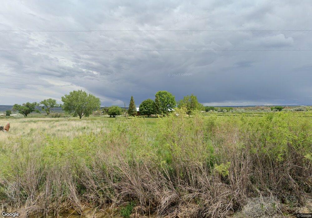
23401 Road E Cortez, CO 81321
Estimated Value: $418,000 - $648,000
2
Beds
3
Baths
2,296
Sq Ft
$241/Sq Ft
Est. Value
About This Home
This home is located at 23401 Road E, Cortez, CO 81321 and is currently estimated at $553,008, approximately $240 per square foot. 23401 Road E is a home located in Montezuma County with nearby schools including Montezuma-Cortez High School and Cortez Adventist Christian School.
Ownership History
Date
Name
Owned For
Owner Type
Purchase Details
Closed on
Oct 12, 2012
Sold by
Graf Terrill S
Bought by
Bunker Ron and Bunker Lisa
Current Estimated Value
Home Financials for this Owner
Home Financials are based on the most recent Mortgage that was taken out on this home.
Original Mortgage
$253,739
Outstanding Balance
$173,540
Interest Rate
3.25%
Mortgage Type
FHA
Estimated Equity
$379,468
Purchase Details
Closed on
Aug 2, 2012
Sold by
Graf Terrill S and Graf Terra J
Bought by
Graf Terrill S
Home Financials for this Owner
Home Financials are based on the most recent Mortgage that was taken out on this home.
Original Mortgage
$211,425
Interest Rate
3.68%
Mortgage Type
New Conventional
Purchase Details
Closed on
Jan 14, 2011
Sold by
Hatchett Thomas L and Hatchett Elizabeth Hersha
Bought by
Graf Terrill S and Graf Terra J
Home Financials for this Owner
Home Financials are based on the most recent Mortgage that was taken out on this home.
Original Mortgage
$216,000
Interest Rate
6.23%
Mortgage Type
Unknown
Create a Home Valuation Report for This Property
The Home Valuation Report is an in-depth analysis detailing your home's value as well as a comparison with similar homes in the area
Purchase History
| Date | Buyer | Sale Price | Title Company |
|---|---|---|---|
| Bunker Ron | $262,500 | None Available | |
| Graf Terrill S | -- | None Available | |
| Graf Terrill S | $270,000 | None Available |
Source: Public Records
Mortgage History
| Date | Status | Borrower | Loan Amount |
|---|---|---|---|
| Open | Bunker Ron | $253,739 | |
| Previous Owner | Graf Terrill S | $211,425 | |
| Previous Owner | Graf Terrill S | $216,000 |
Source: Public Records
Tax History Compared to Growth
Tax History
| Year | Tax Paid | Tax Assessment Tax Assessment Total Assessment is a certain percentage of the fair market value that is determined by local assessors to be the total taxable value of land and additions on the property. | Land | Improvement |
|---|---|---|---|---|
| 2024 | $1,505 | $37,155 | $4,549 | $32,606 |
| 2023 | $1,505 | $41,533 | $5,085 | $36,448 |
| 2022 | $1,568 | $32,293 | $5,085 | $27,208 |
| 2021 | $1,597 | $32,293 | $5,085 | $27,208 |
| 2020 | $1,176 | $24,659 | $5,060 | $19,599 |
| 2019 | $1,174 | $24,659 | $5,060 | $19,599 |
| 2018 | $1,185 | $21,530 | $4,580 | $16,950 |
| 2017 | $1,172 | $21,530 | $4,580 | $16,950 |
| 2016 | $1,107 | $20,760 | $5,060 | $15,700 |
| 2015 | $1,093 | $302,280 | $0 | $0 |
| 2014 | $1,066 | $20,760 | $0 | $0 |
Source: Public Records
Map
Nearby Homes
- 6493 County Road 23 6
- 6597 Road 24
- 24293 Road G
- 5200 Road 21
- 22989 Road G 5
- 20615 Road G
- 2229 U S 160
- 2161 Highway 160 491
- 617 Apple Dr
- 706 Apple Dr
- 915 S Broadway
- 1005 S Cedar St
- 29 W Andrew Ln
- 708 San Juan Dr
- 608 Alameda Dr
- 20 E Andrew Ln
- TBD Chisholm Pl & Jarrett Ave
- TBD Jarrett Ave
- 506 Jarrett Ave
- 530 Juniper Place
- 23453 Road E
- 5178 U S 160
- 5182 Highway 160-491
- 5178 Hwy 160-491
- 5308 Highway 160-491
- S Hwy 160 - 491
- 5182 U S 491
- TBD Road E
- 5215 Highway 160
- S Hwy 160 491
- 5312 Hwy 491
- 5310 Highway 160-491
- 5312 Hwy 160 491
- 5312 Highway 160-491
- 5215 Highway 160-491
- 5200 Road 23
- 0 Hwy 491-160 Unit 649344
- 5440 Highway 160-491
- 23750 Road E
- 6493 Road 23
