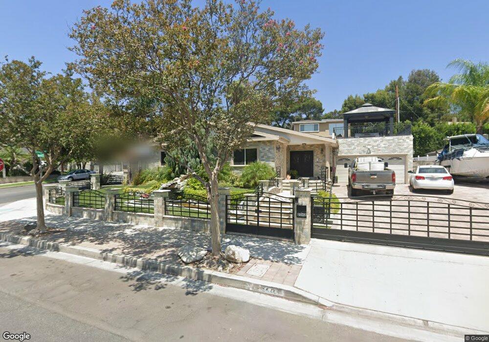
2342 Harold Cir Burbank, CA 91504
Hillside District NeighborhoodEstimated Value: $1,452,000 - $1,821,000
About This Home
This home is located at 2342 Harold Cir, Burbank, CA 91504 and is currently estimated at $1,635,097, approximately $786 per square foot. 2342 Harold Cir is a home located in Los Angeles County with nearby schools including Thomas Jefferson Elementary School, John Muir Middle School, and Burbank High School.
Ownership History
We collect this data history from publicly available records. To have your information removed, we recommend requesting removal directly through your county’s website.
Purchase Details
Home Financials for this Owner
Home Financials are based on the most recent Mortgage that was taken out on this home.Home Values in the Area
Average Home Value in this Area
Purchase History
We collect this data history from publicly available records. To have your information removed, we recommend requesting removal directly through your county’s website.
| Date | Buyer | Sale Price | Title Company |
|---|---|---|---|
| -- | South Coast Title Company |
Mortgage History
We collect this data history from publicly available records. To have your information removed, we recommend requesting removal directly through your county’s website.
| Date | Status | Borrower | Loan Amount |
|---|---|---|---|
| Closed | $168,000 |
Tax History
We collect this data history from publicly available records. To have your information removed, we recommend requesting removal directly through your county’s website.
| Year | Tax Paid | Tax Assessment Tax Assessment Total Assessment is a certain percentage of the fair market value that is determined by local assessors to be the total taxable value of land and additions on the property. | Land | Improvement |
|---|---|---|---|---|
| 2025 | $7,019 | $602,483 | $384,173 | $218,310 |
| 2024 | $6,824 | $590,671 | $376,641 | $214,030 |
| 2023 | $6,753 | $579,090 | $369,256 | $209,834 |
| 2022 | $6,454 | $567,736 | $362,016 | $205,720 |
| 2021 | $6,421 | $556,605 | $354,918 | $201,687 |
| 2019 | $6,167 | $540,097 | $344,392 | $195,705 |
| 2018 | $5,950 | $529,508 | $337,640 | $191,868 |
| 2016 | $5,637 | $508,948 | $324,530 | $184,418 |
| 2015 | $5,523 | $501,304 | $319,656 | $181,648 |
| 2014 | $5,220 | $465,014 | $313,395 | $151,619 |
Map
- 2640 N Keystone St
- 2724 N Kenneth Rd
- 3119 Mesa Verde Dr
- 2844 N Brighton St
- 2414 N Lamer St
- 2615 Woodstock Ln
- 924 Irving Dr
- 3142 N Naomi St
- 2405 Jolley Dr
- 2616 N Buena Vista St
- 801 Stephen Rd
- 2240 N Parish Place
- 8038 Via Pompeii
- 9562 Via Bernardo
- 9551 Via Ricardo
- 633 Groton Dr
- 9542 Via Venezia
- 9560 Via Bernardo
- 9555 Via Venezia
- 7802 Via Tortona
- 3136 Scott Rd
- 2336 Harold Cir
- 2800 Haven Way
- 2806 Haven Way
- 2300 Harold Cir
- 2330 Harold Cir
- 2306 Harold Cir
- 3125 Scott Rd
- 3113 Scott Rd
- 3137 Scott Rd
- 2312 Harold Cir
- 3107 Scott Rd
- 2812 Haven Way
- 3101 Scott Rd
- 2318 Harold Cir
- 3160 Jolley Dr
- 3154 Jolley Dr
- 3148 Jolley Dr
- 3201 Scott Rd
- 2670 N Parish Place
Ask me questions while you tour the home.