2342 Sunningdale Dr Tustin, CA 92782
Tustin Ranch NeighborhoodEstimated Value: $833,000 - $881,000
2
Beds
2
Baths
1,168
Sq Ft
$735/Sq Ft
Est. Value
About This Home
This home is located at 2342 Sunningdale Dr, Tustin, CA 92782 and is currently estimated at $859,034, approximately $735 per square foot. 2342 Sunningdale Dr is a home located in Orange County with nearby schools including Ladera Elementary School, Pioneer Middle School, and Arnold O. Beckman High School.
Ownership History
Date
Name
Owned For
Owner Type
Purchase Details
Closed on
Dec 15, 1995
Sold by
John Laing Homes Inc
Bought by
Simon Kurt H
Current Estimated Value
Home Financials for this Owner
Home Financials are based on the most recent Mortgage that was taken out on this home.
Original Mortgage
$113,750
Outstanding Balance
$2,350
Interest Rate
7.47%
Estimated Equity
$856,684
Create a Home Valuation Report for This Property
The Home Valuation Report is an in-depth analysis detailing your home's value as well as a comparison with similar homes in the area
Home Values in the Area
Average Home Value in this Area
Purchase History
| Date | Buyer | Sale Price | Title Company |
|---|---|---|---|
| Simon Kurt H | $142,500 | Chicago Title Co |
Source: Public Records
Mortgage History
| Date | Status | Borrower | Loan Amount |
|---|---|---|---|
| Open | Simon Kurt H | $113,750 |
Source: Public Records
Tax History Compared to Growth
Tax History
| Year | Tax Paid | Tax Assessment Tax Assessment Total Assessment is a certain percentage of the fair market value that is determined by local assessors to be the total taxable value of land and additions on the property. | Land | Improvement |
|---|---|---|---|---|
| 2025 | $2,478 | $236,236 | $58,545 | $177,691 |
| 2024 | $2,478 | $231,604 | $57,397 | $174,207 |
| 2023 | $2,421 | $227,063 | $56,271 | $170,792 |
| 2022 | $2,917 | $222,611 | $55,167 | $167,444 |
| 2021 | $2,779 | $218,247 | $54,086 | $164,161 |
| 2020 | $2,731 | $216,010 | $53,532 | $162,478 |
| 2019 | $2,678 | $211,775 | $52,482 | $159,293 |
| 2018 | $2,614 | $207,623 | $51,453 | $156,170 |
| 2017 | $2,509 | $203,552 | $50,444 | $153,108 |
| 2016 | $2,465 | $199,561 | $49,455 | $150,106 |
| 2015 | $2,443 | $196,564 | $48,712 | $147,852 |
| 2014 | $2,428 | $192,714 | $47,758 | $144,956 |
Source: Public Records
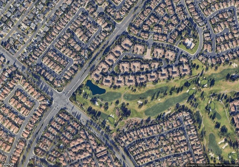
Map
Nearby Homes
- 12800 Stevens Dr
- 2226 Mccharles Dr
- 12665 Stanton Ave
- 12646 Doral Unit 68
- 13069 Arborwalk Ln Unit T
- 2346 Tryall Unit 78
- 12910 Mackenzie Dr
- 12605 Doral Unit 49
- 12605 Prescott Ave
- 2141 Palermo
- 2800 Keller Dr Unit 55
- 2800 Keller Dr Unit 110
- 2800 Keller Dr Unit 197
- 2800 Keller Dr Unit 80
- 2175 Palmer Place
- 2832 Ballesteros Ln
- 2827 Player Ln
- 2528 Aquasanta
- 2489 Via Castillo
- 2495 Tequestra
- 2344 Sunningdale Dr
- 2338 Sunningdale Dr
- 2346 Sunningdale Dr Unit 2346
- 2346 Sunningdale Dr
- 2346 Sunningdale Dr
- 2354 Sunningdale Dr
- 2352 Sunningdale Dr Unit 65
- 2336 Sunningdale Dr
- 2350 Sunningdale Dr
- 2356 Sunningdale Dr
- 2334 Sunningdale Dr
- 2328 Sunningdale Dr
- 2326 Sunningdale Dr Unit 78
- 2358 Sunningdale Dr Unit 62
- 2324 Sunningdale Dr
- 2332 Sunningdale Dr
- 2360 Sunningdale Dr
- 2343 Sunningdale Dr
- 2362 Sunningdale Dr
- 2318 Ternberry Ct