2349 S Pointe Way Unit 12 Saint Joseph, MI 49085
Vineland NeighborhoodEstimated Value: $420,000 - $493,000
4
Beds
3
Baths
2,220
Sq Ft
$208/Sq Ft
Est. Value
About This Home
This home is located at 2349 S Pointe Way Unit 12, Saint Joseph, MI 49085 and is currently estimated at $461,860, approximately $208 per square foot. 2349 S Pointe Way Unit 12 is a home located in Berrien County with nearby schools including Upton Middle School, St. Joseph High School, and Trinity Lutheran School.
Ownership History
Date
Name
Owned For
Owner Type
Purchase Details
Closed on
Jul 2, 2021
Sold by
Klochan Joseph G and Klochan Ann M
Bought by
Klochan Joseph G and Klochan Ann M
Current Estimated Value
Purchase Details
Closed on
Sep 28, 2010
Sold by
Bush Lee and Bush Margaret
Bought by
Klochan Joseph G and Klochan Ann M
Purchase Details
Closed on
Jan 25, 2001
Purchase Details
Closed on
Sep 20, 1996
Purchase Details
Closed on
Jun 22, 1995
Create a Home Valuation Report for This Property
The Home Valuation Report is an in-depth analysis detailing your home's value as well as a comparison with similar homes in the area
Home Values in the Area
Average Home Value in this Area
Purchase History
| Date | Buyer | Sale Price | Title Company |
|---|---|---|---|
| Klochan Joseph G | -- | None Available | |
| Klochan Joseph G | $275,000 | Fidelity National Title | |
| -- | $210,000 | -- | |
| -- | $198,000 | -- | |
| -- | $150,000 | -- |
Source: Public Records
Tax History Compared to Growth
Tax History
| Year | Tax Paid | Tax Assessment Tax Assessment Total Assessment is a certain percentage of the fair market value that is determined by local assessors to be the total taxable value of land and additions on the property. | Land | Improvement |
|---|---|---|---|---|
| 2025 | $6,748 | $210,100 | $0 | $0 |
| 2024 | $5,184 | $202,200 | $0 | $0 |
| 2023 | $4,937 | $172,300 | $0 | $0 |
| 2022 | $4,702 | $135,700 | $0 | $0 |
| 2021 | $5,921 | $129,500 | $12,500 | $117,000 |
| 2020 | $5,650 | $125,400 | $0 | $0 |
| 2019 | $5,461 | $126,500 | $12,500 | $114,000 |
| 2018 | $5,719 | $126,500 | $0 | $0 |
| 2017 | $11,097 | $124,200 | $0 | $0 |
| 2016 | $10,887 | $120,400 | $0 | $0 |
| 2015 | $10,775 | $117,100 | $0 | $0 |
| 2014 | $4,308 | $114,000 | $0 | $0 |
Source: Public Records
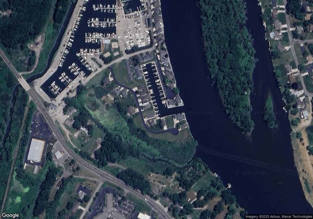
Map
Nearby Homes
- 2317 S Pointe Way Unit 5
- 2401 Bay Pointe Dr
- 2500 Bay Pointe Dr
- 924 Eagle Point Dr
- 944 Eagle Point Dr
- 2510 Bay Pointe Dr
- V/L Niles Rd
- 2781 N Trail Ln
- 1189 Lydia Dr
- 932 Wedgewood Rd
- 956 Wedgewood Rd
- 966 Wedgewood Rd
- 2272 Washington Ave
- Parcel 2-B Niles Road M-63
- 2815 Washington Ave
- 2837 Washington Ave
- 1350 Susan Dr
- 2510 Essex Ct
- 649 Grant Ave
- 2583 Stratford Dr
- 2345 S Pointe Way Unit 11
- 2335 S Pointe Way Unit 10
- 2327 S Pointe Way Unit 9
- 2347 S Pointe Way Unit 8
- 2337 S Pointe Way Unit 7
- 2329 S Pointe Way Unit 6
- 2317 S Pointe Way
- 2317 S Pointe Way
- 2411 Bay Point Dr
- 2421 Bay Point Dr
- 2337 S South Pointe Way
- 2421 Bay Pointe Dr
- 2351 Niles Rd
- 2351 Niles Rd
- 2351 Niles Rd
- 2351 Niles Rd
- 2555 Bay Point Dr
- 2441 Bay Pointe Dr
- 2441 Bay Point Dr
- 2575 Bay Pointe Dr