235 Algonquin Trail Trumbull, CT 06611
Trumbull Center NeighborhoodEstimated Value: $452,000 - $457,000
2
Beds
3
Baths
1,400
Sq Ft
$325/Sq Ft
Est. Value
About This Home
This home is located at 235 Algonquin Trail, Trumbull, CT 06611 and is currently estimated at $455,066, approximately $325 per square foot. 235 Algonquin Trail is a home located in Fairfield County with nearby schools including Frenchtown Elementary School, Hillcrest Middle School, and Trumbull High School.
Ownership History
Date
Name
Owned For
Owner Type
Purchase Details
Closed on
Jun 30, 2005
Sold by
Levine Michael D and Levine Franchen
Bought by
Sondergaard Karen W and Sondergaard David
Current Estimated Value
Home Financials for this Owner
Home Financials are based on the most recent Mortgage that was taken out on this home.
Original Mortgage
$276,000
Outstanding Balance
$141,367
Interest Rate
5.37%
Estimated Equity
$313,699
Purchase Details
Closed on
Aug 19, 1999
Sold by
Rovello Michael and Rovello Lisa
Bought by
Levine Michael D and Chen-Levine Fran
Create a Home Valuation Report for This Property
The Home Valuation Report is an in-depth analysis detailing your home's value as well as a comparison with similar homes in the area
Home Values in the Area
Average Home Value in this Area
Purchase History
| Date | Buyer | Sale Price | Title Company |
|---|---|---|---|
| Sondergaard Karen W | $345,000 | -- | |
| Levine Michael D | $174,000 | -- |
Source: Public Records
Mortgage History
| Date | Status | Borrower | Loan Amount |
|---|---|---|---|
| Open | Levine Michael D | $47,388 | |
| Open | Levine Michael D | $276,000 | |
| Closed | Levine Michael D | $69,000 | |
| Previous Owner | Levine Michael D | $125,000 |
Source: Public Records
Tax History Compared to Growth
Tax History
| Year | Tax Paid | Tax Assessment Tax Assessment Total Assessment is a certain percentage of the fair market value that is determined by local assessors to be the total taxable value of land and additions on the property. | Land | Improvement |
|---|---|---|---|---|
| 2025 | $7,608 | $206,080 | $0 | $206,080 |
| 2024 | $7,400 | $206,080 | $0 | $206,080 |
| 2023 | $7,281 | $206,080 | $0 | $206,080 |
| 2022 | $7,164 | $206,080 | $0 | $206,080 |
| 2021 | $6,400 | $175,140 | $0 | $175,140 |
| 2020 | $6,279 | $175,140 | $0 | $175,140 |
| 2018 | $6,124 | $175,140 | $0 | $175,140 |
| 2017 | $6,000 | $175,140 | $0 | $175,140 |
| 2016 | $5,879 | $175,140 | $0 | $175,140 |
| 2015 | $5,882 | $173,200 | $0 | $173,200 |
| 2014 | $5,756 | $173,200 | $0 | $173,200 |
Source: Public Records
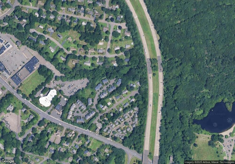
Map
Nearby Homes
- 121 Paugusett Cir
- 122 Paugusett Cir
- 7 Manor Dr
- 58 Daniels Farm Rd
- 11 Laurel St
- 33 Enclave Dr Unit 33
- 8 Moorland Rd
- 1 Village Dr
- Lot 31 Valley View Rd
- 60 Lillian Dr
- 401 Unity Rd
- 1675 Old Town Rd
- 0 Lot #4 & Lot #5 W Mischa Rd Unit 24138429
- 0 Pinewood Trail
- 26 Grove St
- 1800 Chopsey Hill Rd
- 50 Hemlock Trail
- 253 Mayfield Dr Unit 253
- 283 Mayfield Dr
- 715 Frenchtown Rd Unit 31
- 237 Algonquin Trail
- 233 Algonquin Trail
- 229 Algonquin Trail
- 227 Algonquin Trail
- 226 Algonquin Trail
- 225 Algonquin Trail
- 224 Algonquin Trail
- 223 Algonquin Trail
- 220 Algonquin Trail
- 218 Algonquin Trail
- 217 Algonquin Trail
- 216 Algonquin Trail
- 214 Algonquin Trail
- 213 Algonquin Trail
- 211 Algonquin Trail
- 208 Algonquin Trail
- 206 Algonquin Trail
- 204 Algonquin Trail
- 130 Paugusett Cir