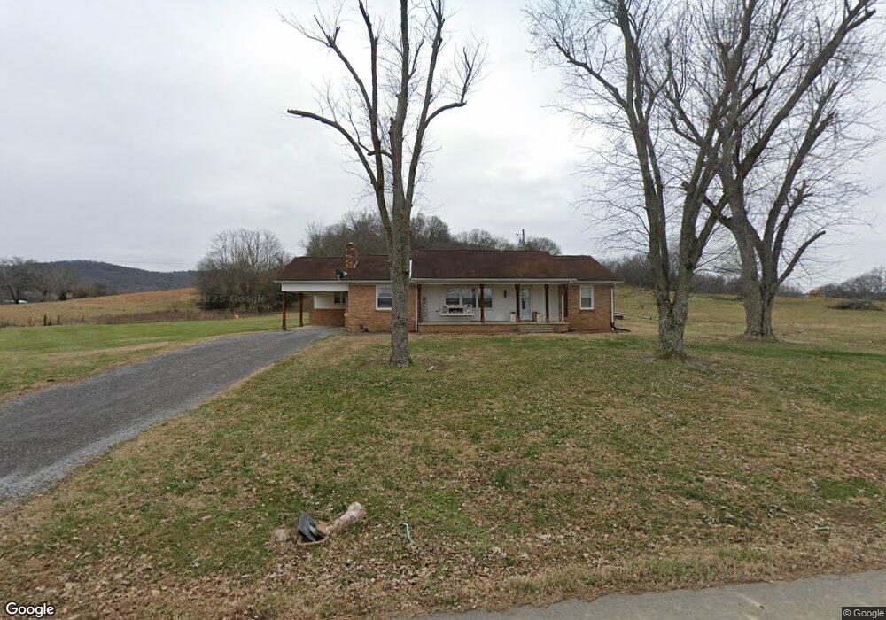
235 Dillard Ln Lebanon, TN 37087
Estimated Value: $405,000 - $733,000
--
Bed
1
Bath
1,729
Sq Ft
$294/Sq Ft
Est. Value
About This Home
This home is located at 235 Dillard Ln, Lebanon, TN 37087 and is currently estimated at $509,058, approximately $294 per square foot. 235 Dillard Ln is a home located in Trousdale County with nearby schools including Trousdale County Elementary School, Jim Satterfield Middle School, and Trousdale County High School.
Ownership History
Date
Name
Owned For
Owner Type
Purchase Details
Closed on
Apr 10, 2007
Sold by
Massey Connie R
Bought by
Bryant Waller
Current Estimated Value
Purchase Details
Closed on
Mar 27, 2007
Sold by
Massey Connie R
Bought by
Stone Woodmore Toby
Purchase Details
Closed on
Nov 11, 1960
Bought by
Dillard Ethel Margaret Stone
Purchase Details
Closed on
Jul 25, 1959
Create a Home Valuation Report for This Property
The Home Valuation Report is an in-depth analysis detailing your home's value as well as a comparison with similar homes in the area
Home Values in the Area
Average Home Value in this Area
Purchase History
| Date | Buyer | Sale Price | Title Company |
|---|---|---|---|
| Bryant Waller | $150,000 | -- | |
| Stone Woodmore Toby | -- | -- | |
| William Stone | -- | -- | |
| Massey Connie R | -- | -- | |
| Dillard Ethel Margaret Stone | -- | -- | |
| -- | -- | -- |
Source: Public Records
Tax History Compared to Growth
Tax History
| Year | Tax Paid | Tax Assessment Tax Assessment Total Assessment is a certain percentage of the fair market value that is determined by local assessors to be the total taxable value of land and additions on the property. | Land | Improvement |
|---|---|---|---|---|
| 2024 | $1,211 | $58,875 | $25,525 | $33,350 |
| 2023 | $1,147 | $58,875 | $25,525 | $33,350 |
| 2022 | $1,141 | $58,875 | $25,525 | $33,350 |
| 2021 | $1,165 | $58,875 | $25,525 | $33,350 |
| 2020 | $1,165 | $47,775 | $21,800 | $25,975 |
| 2019 | $1,165 | $47,775 | $21,800 | $25,975 |
| 2018 | $1,119 | $38,200 | $18,175 | $20,025 |
| 2017 | $1,097 | $38,200 | $18,175 | $20,025 |
| 2016 | $1,119 | $38,200 | $18,175 | $20,025 |
| 2015 | $1,192 | $38,200 | $18,175 | $20,025 |
| 2014 | $1,089 | $34,900 | $14,150 | $20,750 |
Source: Public Records
Map
Nearby Homes
- 0 Hartsville Pike Unit RTC3030739
- 0 Hartsville Pike Unit RTC2942174
- 9786 Hartsville Pike
- 424 Hiwassee Rd
- 1303 Athens Rd
- 120 Darrell Ln
- 155 Dorothy Ln
- 0 Shema Ln
- 999 Ford Rd
- 28 Faith Ln
- 568 Hiwassee Rd
- 142 Hiwassee Rd
- 20 Bledsoe Borough Ln
- 174 Circle Dr
- 0 Mitchell Rd
- 0 Sam Beasley Rd
- 599 Goshen Rd
- 407 Goshen Rd
- 130 Lytle Dr
- 745 Ed Seay Gregory Ln
- 440 Dillard Ln
- 465 Stone Hollow Ln
- 685 Stone Hollow Ln
- 205 Stone Hollow Ln
- 870 Ward Hill Rd
- 2070 Cedar Bluff Rd
- 1940 Cedar Bluff Rd
- 2640 Cedar Bluff Rd
- Tract 4 Cedar Bluff Rd
- 1 Cedar Bluff Rd
- 1935 Cedar Bluff Rd
- 1225 Providence Rd
- 1250 Providence Rd
- 1735 Cedar Bluff Rd
- 2155 Cedar Bluff Rd
- 1265 Providence Rd
- 555 Providence Rd
- 1430 Cedar Bluff Rd
- 850 Providence Rd