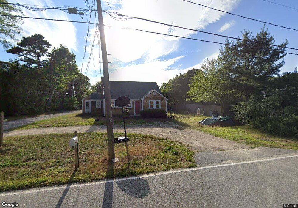
235 Division St Unit 1 Dennis Port, MA 02639
Dennis Port NeighborhoodEstimated Value: $193,000 - $291,000
1
Bed
1
Bath
450
Sq Ft
$549/Sq Ft
Est. Value
About This Home
This home is located at 235 Division St Unit 1, Dennis Port, MA 02639 and is currently estimated at $246,966, approximately $548 per square foot. 235 Division St Unit 1 is a home located in Barnstable County with nearby schools including Dennis-Yarmouth Regional High School.
Ownership History
Date
Name
Owned For
Owner Type
Purchase Details
Closed on
Mar 1, 2018
Sold by
Daniels Cleve G
Bought by
Boston Light T and Boston Travers
Current Estimated Value
Purchase Details
Closed on
Nov 10, 2005
Sold by
Baylight Condominium T and Travers
Bought by
Daniels Cleve G
Home Financials for this Owner
Home Financials are based on the most recent Mortgage that was taken out on this home.
Original Mortgage
$140,400
Interest Rate
5.93%
Mortgage Type
Purchase Money Mortgage
Create a Home Valuation Report for This Property
The Home Valuation Report is an in-depth analysis detailing your home's value as well as a comparison with similar homes in the area
Home Values in the Area
Average Home Value in this Area
Purchase History
| Date | Buyer | Sale Price | Title Company |
|---|---|---|---|
| Boston Light T | $115,000 | -- | |
| Boston Light T | $115,000 | -- | |
| Daniels Cleve G | $156,000 | -- | |
| Daniels Cleve G | $156,000 | -- |
Source: Public Records
Mortgage History
| Date | Status | Borrower | Loan Amount |
|---|---|---|---|
| Previous Owner | Daniels Cleve G | $140,400 |
Source: Public Records
Tax History Compared to Growth
Tax History
| Year | Tax Paid | Tax Assessment Tax Assessment Total Assessment is a certain percentage of the fair market value that is determined by local assessors to be the total taxable value of land and additions on the property. | Land | Improvement |
|---|---|---|---|---|
| 2025 | $847 | $195,600 | $0 | $195,600 |
| 2024 | $742 | $169,100 | $0 | $169,100 |
| 2023 | $647 | $138,600 | $0 | $138,600 |
| 2022 | $626 | $111,800 | $0 | $111,800 |
| 2021 | $607 | $100,700 | $0 | $100,700 |
| 2020 | $597 | $97,800 | $0 | $97,800 |
| 2019 | $574 | $93,100 | $0 | $93,100 |
| 2018 | $563 | $88,800 | $0 | $88,800 |
| 2017 | $546 | $88,800 | $0 | $88,800 |
| 2016 | $541 | $82,900 | $0 | $82,900 |
| 2015 | $531 | $82,900 | $0 | $82,900 |
| 2014 | $526 | $82,900 | $0 | $82,900 |
Source: Public Records
Map
Nearby Homes
- 141 Division St
- 141 Division St
- 47 Telegraph Rd Unit 1
- 91 Depot Rd W
- 11 Lane Rd
- 9 Country Ln
- 45 Route 28
- 9 Bells Neck Rd Unit 10
- 40 Willow St
- 12 Candlewood Ln Unit 2-9
- 10 Candlewood Ln Unit 2-1
- 79 Massachusetts 28
- 9 Mansion St
- 73 Division St
- 64 Smith St
- 148 Belmont Rd
- 24 Indian Trail
- 78 Upper County Rd Unit A&B
- 78 Upper County Rd
- 6 Bayberry Ln
- 235 Division St Unit M
- 235 Division St Unit 5
- 235 Division St Unit 4
- 235 Division St Unit 3
- 235 Division St Unit 2
- 235 Division St Unit 6
- 235 Division St
- 229 Division St
- 241 Division St
- 236A Division St
- 187 Division St
- 179 Division St
- 242A Division St
- 247 Division St
- 221 Division St
- 177 Division St
- 112 Telegraph Rd
- 112 Telegraph Rd Unit B
- 116 Telegraph Rd
- 249 Division St