Estimated Value: $298,000 - $362,000
4
Beds
2
Baths
2,159
Sq Ft
$151/Sq Ft
Est. Value
About This Home
This home is located at 235 Dollar Rd, Cairo, GA 39828 and is currently estimated at $326,935, approximately $151 per square foot. 235 Dollar Rd is a home located in Grady County.
Ownership History
Date
Name
Owned For
Owner Type
Purchase Details
Closed on
Mar 26, 2013
Sold by
James Donald Kenneth
Bought by
James Candice Marie
Current Estimated Value
Purchase Details
Closed on
Sep 27, 2007
Sold by
James Donnie K
Bought by
James Donald Kenneth and James Candice Marie
Purchase Details
Closed on
Jul 19, 2005
Sold by
James Donald W
Bought by
James Donnie K
Purchase Details
Closed on
Nov 7, 2002
Sold by
Solomon Allen G
Bought by
James Donald W
Purchase Details
Closed on
Oct 30, 1998
Sold by
Solomon John D
Bought by
Solomon Allen G
Create a Home Valuation Report for This Property
The Home Valuation Report is an in-depth analysis detailing your home's value as well as a comparison with similar homes in the area
Purchase History
| Date | Buyer | Sale Price | Title Company |
|---|---|---|---|
| James Candice Marie | -- | -- | |
| James Donald Kenneth | -- | -- | |
| James Donnie K | -- | -- | |
| James Donald W | $45,000 | -- | |
| Solomon Allen G | -- | -- |
Source: Public Records
Tax History
| Year | Tax Paid | Tax Assessment Tax Assessment Total Assessment is a certain percentage of the fair market value that is determined by local assessors to be the total taxable value of land and additions on the property. | Land | Improvement |
|---|---|---|---|---|
| 2024 | $2,095 | $87,700 | $5,714 | $81,986 |
| 2023 | $1,778 | $59,758 | $4,956 | $54,802 |
| 2022 | $1,778 | $59,758 | $4,956 | $54,802 |
| 2021 | $1,784 | $59,758 | $4,956 | $54,802 |
| 2020 | $1,790 | $59,758 | $4,956 | $54,802 |
| 2019 | $1,790 | $59,758 | $4,956 | $54,802 |
| 2018 | $1,738 | $59,758 | $4,956 | $54,802 |
| 2017 | $1,655 | $59,758 | $4,956 | $54,802 |
| 2016 | $1,412 | $50,703 | $4,956 | $45,747 |
| 2015 | $1,395 | $50,703 | $4,956 | $45,747 |
| 2014 | $1,397 | $50,703 | $4,956 | $45,747 |
| 2013 | -- | $48,550 | $6,860 | $41,690 |
Source: Public Records
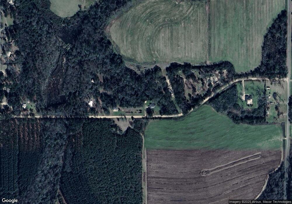
Map
Nearby Homes
- 161 Evergreen Ln
- 129 Alison Dr
- 309 Sunset Ln
- 770 Pierce Chapel Rd
- 3109 U S 84
- 3109 U S 84
- 2427 Pierce Chapel Rd
- 3136 State Route 188
- 78.6 Ac Strickland Rd
- 2690 U S 84
- 1210 Elkins Rd
- 21 24th St NE
- 88 Ruby Ln
- 66 22nd St NE
- 00 State Route 188
- 0 State Route 188
- 0 20th St NE
- 00 20th St NE
- 408 Bay Tree Rd NE
- 414 Woodland Rd
- 299 Dollar Rd
- 179 Dollar Rd
- 334 Dollar Rd
- 334 Dollar Rd Unit 1
- 1559 Pierce Chapel Rd
- 1569 Pierce Chapel Rd
- 121 Dollar Rd
- 586 Stanfill Rd
- 632 Stanfill Rd
- 642 Stanfill Rd
- 1447 Pierce Chapel Rd
- 652 Stanfill Rd
- 609 Stanfill Rd
- 676 Stanfill Rd
- 1478 Pierce Chapel Rd
- 1462 Pierce Chapel Rd
- 677 Stanfill Rd
- 1375 Pierce Chapel Rd
- 1436 Pierce Chapel Rd
- 1405 Pierce Chapel Rd
Your Personal Tour Guide
Ask me questions while you tour the home.