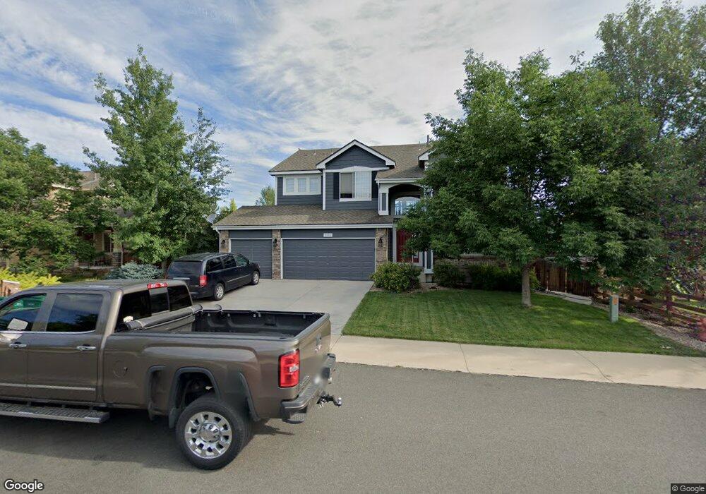
235 Gadwall Ln Johnstown, CO 80534
Estimated Value: $608,544 - $672,000
3
Beds
3
Baths
2,772
Sq Ft
$234/Sq Ft
Est. Value
About This Home
This home is located at 235 Gadwall Ln, Johnstown, CO 80534 and is currently estimated at $647,636, approximately $233 per square foot. 235 Gadwall Ln is a home located in Weld County with nearby schools including Pioneer Ridge Elementary School, Milliken Middle School, and Roosevelt High School.
Ownership History
Date
Name
Owned For
Owner Type
Purchase Details
Closed on
Apr 6, 2004
Sold by
The Ryland Group Inc
Bought by
Schenkenberger Dennis E and Schenkenberger Ann L
Current Estimated Value
Home Financials for this Owner
Home Financials are based on the most recent Mortgage that was taken out on this home.
Original Mortgage
$244,450
Outstanding Balance
$114,312
Interest Rate
5.57%
Mortgage Type
Unknown
Estimated Equity
$533,324
Create a Home Valuation Report for This Property
The Home Valuation Report is an in-depth analysis detailing your home's value as well as a comparison with similar homes in the area
Home Values in the Area
Average Home Value in this Area
Purchase History
| Date | Buyer | Sale Price | Title Company |
|---|---|---|---|
| Schenkenberger Dennis E | $305,572 | Ryland Title Company |
Source: Public Records
Mortgage History
| Date | Status | Borrower | Loan Amount |
|---|---|---|---|
| Open | Schenkenberger Dennis E | $244,450 | |
| Closed | Schenkenberger Dennis E | $45,800 |
Source: Public Records
Tax History Compared to Growth
Tax History
| Year | Tax Paid | Tax Assessment Tax Assessment Total Assessment is a certain percentage of the fair market value that is determined by local assessors to be the total taxable value of land and additions on the property. | Land | Improvement |
|---|---|---|---|---|
| 2025 | $3,767 | $39,400 | $9,380 | $30,020 |
| 2024 | $3,767 | $39,400 | $9,380 | $30,020 |
| 2023 | $3,538 | $42,320 | $5,750 | $36,570 |
| 2022 | $3,192 | $29,760 | $5,840 | $23,920 |
| 2021 | $3,441 | $30,620 | $6,010 | $24,610 |
| 2020 | $3,169 | $29,020 | $5,580 | $23,440 |
| 2019 | $2,479 | $29,020 | $5,580 | $23,440 |
| 2018 | $2,284 | $26,720 | $4,680 | $22,040 |
| 2017 | $2,322 | $26,720 | $4,680 | $22,040 |
| 2016 | $2,128 | $24,480 | $4,300 | $20,180 |
| 2015 | $2,157 | $24,480 | $4,300 | $20,180 |
| 2014 | $1,714 | $20,070 | $3,580 | $16,490 |
Source: Public Records
Map
Nearby Homes
- 370 Saxony Rd
- 2128 Redhead Dr
- 230 Saxony Rd
- 34 Saxony Rd
- 1739 Canvasback Dr
- 254 Bittern Dr
- 2507 Rouen Ln
- 139 Muscovey Ln
- 207 Bittern Dr
- 103 Muscovey Ln
- 1538 Mallard Dr
- 2683 Pochard Ct
- 2724 White Wing Rd
- 2708 Aylesbury Way
- 1519 Mallard Dr
- 2726 Aylesbury Way
- 3000 Panorama Ct
- 3020 Panorama Ct
- 3060 Panorama Ct
- 3080 Panorama Ct
- 241 Gadwall Ln
- 2110 Widgeon Dr
- 2104 Widgeon Dr
- 2119 Black Duck Ave
- 2112 Black Duck Ave
- 2116 Widgeon Dr
- 2050 Widgeon Dr
- 2118 Black Duck Ave
- 2125 Black Duck Ave
- 211 Gadwall Ln
- 2122 Widgeon Dr
- 2124 Black Duck Ave
- 2044 Widgeon Dr
- 212 Gadwall Ln
- 2131 Black Duck Ave
- 2043 Widgeon Dr
- 2128 Widgeon Dr
- 205 Gadwall Ln
- 206 Gadwall Ln
- 2038 Widgeon Dr