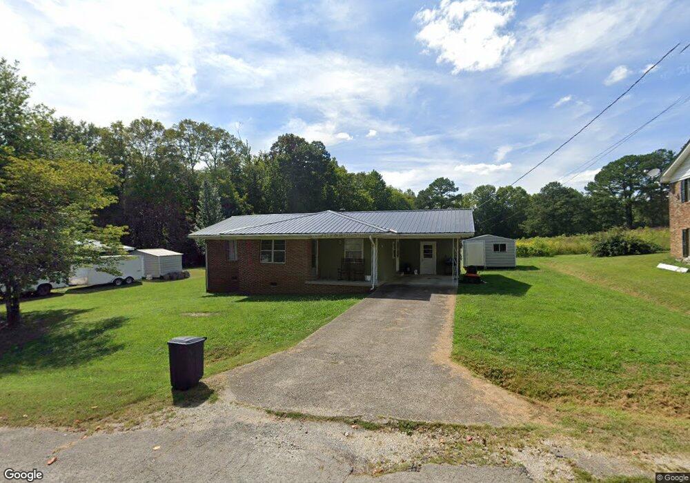
235 Meadow Brook Dr Linden, TN 37096
Estimated Value: $119,000 - $169,000
3
Beds
1
Bath
1,080
Sq Ft
$137/Sq Ft
Est. Value
About This Home
This home is located at 235 Meadow Brook Dr, Linden, TN 37096 and is currently estimated at $148,089, approximately $137 per square foot. 235 Meadow Brook Dr is a home located in Perry County.
Ownership History
Date
Name
Owned For
Owner Type
Purchase Details
Closed on
Jul 1, 2014
Sold by
Poe Kiluah
Bought by
Clifton Jonathan Brant
Current Estimated Value
Home Financials for this Owner
Home Financials are based on the most recent Mortgage that was taken out on this home.
Original Mortgage
$59,183
Outstanding Balance
$45,016
Interest Rate
4.2%
Mortgage Type
Cash
Estimated Equity
$103,073
Purchase Details
Closed on
May 10, 2002
Bought by
Koon Kiluah L
Purchase Details
Closed on
Jul 14, 2000
Bought by
Smith D L
Purchase Details
Closed on
Nov 5, 1991
Bought by
Smith Smith J and Smith Mildred
Purchase Details
Closed on
Jan 3, 1972
Bought by
Smith Mildred Worley
Create a Home Valuation Report for This Property
The Home Valuation Report is an in-depth analysis detailing your home's value as well as a comparison with similar homes in the area
Home Values in the Area
Average Home Value in this Area
Purchase History
| Date | Buyer | Sale Price | Title Company |
|---|---|---|---|
| Clifton Jonathan Brant | $58,000 | -- | |
| Koon Kiluah L | $43,500 | -- | |
| Smith D L | $1,000 | -- | |
| Smith Smith J | -- | -- | |
| Smith Mildred Worley | -- | -- |
Source: Public Records
Mortgage History
| Date | Status | Borrower | Loan Amount |
|---|---|---|---|
| Open | Clifton Jonathan Brant | $59,183 |
Source: Public Records
Tax History Compared to Growth
Tax History
| Year | Tax Paid | Tax Assessment Tax Assessment Total Assessment is a certain percentage of the fair market value that is determined by local assessors to be the total taxable value of land and additions on the property. | Land | Improvement |
|---|---|---|---|---|
| 2025 | $471 | $16,825 | $0 | $0 |
| 2024 | $471 | $16,825 | $1,000 | $15,825 |
| 2023 | $471 | $16,825 | $1,000 | $15,825 |
| 2022 | $471 | $16,825 | $1,000 | $15,825 |
| 2021 | $471 | $16,825 | $1,000 | $15,825 |
| 2020 | $386 | $16,825 | $1,000 | $15,825 |
| 2019 | $493 | $16,525 | $1,000 | $15,525 |
| 2018 | $493 | $16,525 | $1,000 | $15,525 |
| 2017 | $488 | $16,525 | $1,000 | $15,525 |
| 2016 | $488 | $16,525 | $1,000 | $15,525 |
| 2015 | $480 | $16,525 | $1,000 | $15,525 |
| 2014 | $480 | $16,525 | $1,000 | $15,525 |
| 2013 | $402 | $13,850 | $0 | $0 |
Source: Public Records
Map
Nearby Homes
- 122 Shelton St
- 218 Cedar Ave
- 141 Maple St
- 245 S Mill St
- 0 Church St
- 0 Treadwell Prong Unit RTC2707562
- 628 Starlight Dr
- 8884 U S Highway 412
- 130 Elm Ln
- 2017 Airport Ridge Rd
- 0 U S Highway 412
- 107 Possum Trot Ln
- Lot 5 Campers Ln
- Lot 7 Campers Ln
- Lot 9 Campers Ln
- Lot 15 Campers Ln
- Lot 11 Campers Ln
- Lot 4 Campers Ln
- Lot 8 Campers Ln
- Lot 10 Campers Ln
- 239 Meadow Brook Dr
- 231 Meadow Brook Dr
- 238 Meadow Brook Dr
- 240 Meadow Brook Dr
- 236 Meadow Brook Dr
- 243 Meadow Brook Dr
- 227 Meadow Brook Dr
- 246 Meadow Brook Dr
- 230 Meadow Brook Dr
- 242 Graham St
- 236 Graham St
- 238 Graham St
- 214 Shelton St
- 243 Brooklyn Ave
- 210 Shelton St
- 247 Brooklyn Ave
- 222 Sycamore Dr
- 239 Brooklyn Ave
- 206 Shelton St
- 233 Brooklyn Ave