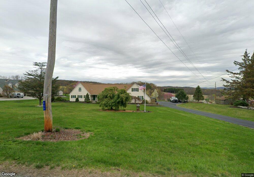
235 Meyer Rd Branchville, NJ 07826
Estimated Value: $527,000 - $591,677
3
Beds
3
Baths
2,525
Sq Ft
$224/Sq Ft
Est. Value
About This Home
This home is located at 235 Meyer Rd, Branchville, NJ 07826 and is currently estimated at $565,419, approximately $223 per square foot. 235 Meyer Rd is a home located in Sussex County with nearby schools including Frankford Township School and High Point Regional High School.
Ownership History
Date
Name
Owned For
Owner Type
Purchase Details
Closed on
Aug 15, 2022
Sold by
Hacker Ernest R and Hacker Dianne L
Bought by
Wingle Mona M and Wingle Tyra
Current Estimated Value
Purchase Details
Closed on
Jun 16, 2003
Sold by
Keenan Susan
Bought by
Hacker Ernest R and Hacker Dianne L
Home Financials for this Owner
Home Financials are based on the most recent Mortgage that was taken out on this home.
Original Mortgage
$50,000
Interest Rate
5.46%
Mortgage Type
Credit Line Revolving
Purchase Details
Closed on
Sep 1, 1999
Sold by
Wingle Mathew J and Wingle Dorothy R
Bought by
Keenan Susan
Purchase Details
Closed on
Dec 24, 1993
Sold by
Wingle Mathew J and Wingle Dorothy R
Bought by
Wingle Mathew J and Wingle Dorothy R
Create a Home Valuation Report for This Property
The Home Valuation Report is an in-depth analysis detailing your home's value as well as a comparison with similar homes in the area
Home Values in the Area
Average Home Value in this Area
Purchase History
| Date | Buyer | Sale Price | Title Company |
|---|---|---|---|
| Wingle Mona M | $500,000 | Old Republic Title | |
| Wingle Mona M | $500,000 | Old Republic Title | |
| Hacker Ernest R | $319,000 | Chicago Title Insurance Co | |
| Keenan Susan | $100,000 | -- | |
| Wingle Mathew J | -- | -- |
Source: Public Records
Mortgage History
| Date | Status | Borrower | Loan Amount |
|---|---|---|---|
| Previous Owner | Hacker Ernest R | $50,000 | |
| Previous Owner | Hacker Ernest R | $174,000 |
Source: Public Records
Tax History Compared to Growth
Tax History
| Year | Tax Paid | Tax Assessment Tax Assessment Total Assessment is a certain percentage of the fair market value that is determined by local assessors to be the total taxable value of land and additions on the property. | Land | Improvement |
|---|---|---|---|---|
| 2025 | $10,073 | $338,700 | $92,800 | $245,900 |
| 2024 | $9,772 | $338,700 | $92,800 | $245,900 |
| 2023 | $9,772 | $338,700 | $92,800 | $245,900 |
| 2022 | $9,534 | $338,700 | $92,800 | $245,900 |
| 2021 | $9,247 | $338,700 | $92,800 | $245,900 |
| 2020 | $8,982 | $338,700 | $92,800 | $245,900 |
| 2019 | $8,728 | $338,700 | $92,800 | $245,900 |
| 2018 | $8,647 | $338,700 | $92,800 | $245,900 |
| 2017 | $8,617 | $338,700 | $92,800 | $245,900 |
| 2016 | $8,725 | $338,700 | $92,800 | $245,900 |
| 2015 | $8,681 | $338,700 | $92,800 | $245,900 |
| 2014 | $8,881 | $338,700 | $92,800 | $245,900 |
Source: Public Records
Map
Nearby Homes
- 19 Dalrymple Rd
- 83 Hyatt Rd
- 80, 82 George Hill Rd
- 18 High Ridge Ln
- 10 Pidgeon Hill Rd
- 605 County Road 565
- 305 Wykertown Rd
- 26 Dickerson Rd
- 99 Phillips Rd
- 51 Pidgeon Hill Rd
- 2 Estate Dr
- 333 County Rd 565
- 00 Pidgeon Hill Rd
- 0 Beaver Run Rd
- 216 Mattison Reservoir Ave
- 220 Mattison Reservoir Ave
- 29 Plains Rd
- 20 Pines Rd
- 64 Mattison Rd
- 23 Plains Rd