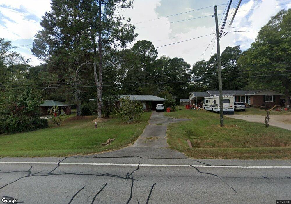
235 N Carroll St Bowdon, GA 30108
Estimated Value: $168,000 - $224,000
2
Beds
1
Bath
1,183
Sq Ft
$160/Sq Ft
Est. Value
About This Home
This home is located at 235 N Carroll St, Bowdon, GA 30108 and is currently estimated at $188,891, approximately $159 per square foot. 235 N Carroll St is a home with nearby schools including Bowdon Elementary School, Bowdon Middle School, and Bowdon High School.
Ownership History
Date
Name
Owned For
Owner Type
Purchase Details
Closed on
Jan 4, 2012
Sold by
Shelnutt Jonnie S
Bought by
Garrett Sara S
Current Estimated Value
Purchase Details
Closed on
Feb 20, 2011
Sold by
Spence Mae J
Bought by
Shellnut Jonnie S and Key Eula S
Purchase Details
Closed on
Nov 2, 2005
Sold by
Garrett Sara S
Bought by
Shelnutt Jonnie S and Key Eula S
Purchase Details
Closed on
Nov 16, 2000
Sold by
Spence Mae
Bought by
Key Eula S Shellnutt Johnnie S Garr
Purchase Details
Closed on
Jul 19, 1986
Bought by
Spence Mae J
Create a Home Valuation Report for This Property
The Home Valuation Report is an in-depth analysis detailing your home's value as well as a comparison with similar homes in the area
Home Values in the Area
Average Home Value in this Area
Purchase History
| Date | Buyer | Sale Price | Title Company |
|---|---|---|---|
| Garrett Sara S | -- | -- | |
| Shellnut Jonnie S | -- | -- | |
| Shelnutt Jonnie S | -- | -- | |
| Key Eula S Shellnutt Johnnie S Garr | -- | -- | |
| Spence Mae J | -- | -- |
Source: Public Records
Tax History Compared to Growth
Tax History
| Year | Tax Paid | Tax Assessment Tax Assessment Total Assessment is a certain percentage of the fair market value that is determined by local assessors to be the total taxable value of land and additions on the property. | Land | Improvement |
|---|---|---|---|---|
| 2024 | $376 | $54,407 | $1,157 | $53,250 |
| 2023 | $376 | $49,631 | $1,157 | $48,474 |
| 2022 | $278 | $33,719 | $781 | $32,938 |
| 2021 | $252 | $28,874 | $579 | $28,295 |
| 2020 | $235 | $25,977 | $579 | $25,398 |
| 2019 | $222 | $23,553 | $579 | $22,974 |
| 2018 | $212 | $21,146 | $579 | $20,567 |
| 2017 | $213 | $21,146 | $579 | $20,567 |
| 2016 | $264 | $21,146 | $579 | $20,567 |
| 2015 | $238 | $17,953 | $4,000 | $13,954 |
| 2014 | $240 | $17,954 | $4,000 | $13,954 |
Source: Public Records
Map
Nearby Homes
- 215 Rome St
- 6.41 ac N Carroll St & Ave W
- 473 West Ave
- 479 West Ave
- 485 West Ave
- 0 Red Barn Rd Unit 24246965
- 407 E College St
- 427 E College St
- 260 Red Barn Rd
- 0 College View St Unit 10594648
- 0 College View St Unit 7641168
- 0 Hwy 100 Unit LotWP001 24911780
- 0 Hwy 100 Unit 10541558
- 313 Ellenwood Dr
- 274 Red Barn Rd
- 310 W College St
- 231 N Carroll St
- 237 N Carroll St
- 227 N Carroll St
- 241 N Carroll St
- 234 N Carroll St
- 226 N Carroll St
- 250 Rome St
- 244 Rome St
- 242 N Carroll St
- 228 Rome St
- 244 N Carroll St
- 222 N Carroll St
- 243 Rome St
- 245 N Carroll St
- 216 N Carroll St
- 220 Rome St
- 217 N Carroll St
- 250 N Carroll St
- 213 N Carroll St
- 0 N Carroll St Unit 10182119