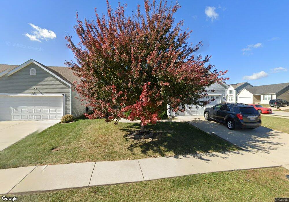
235 Sparrow Point Ln Belleville, IL 62221
Estimated Value: $314,000 - $435,000
Studio
--
Bath
2,068
Sq Ft
$171/Sq Ft
Est. Value
About This Home
This home is located at 235 Sparrow Point Ln, Belleville, IL 62221 and is currently estimated at $353,651, approximately $171 per square foot. 235 Sparrow Point Ln is a home with nearby schools including Mascoutah High School and Zion Lutheran School Belleville.
Ownership History
Date
Name
Owned For
Owner Type
Purchase Details
Closed on
Apr 16, 2014
Sold by
The Jones Company Homes Llc
Bought by
Taylor Demarko and Malley Brigid O
Current Estimated Value
Home Financials for this Owner
Home Financials are based on the most recent Mortgage that was taken out on this home.
Original Mortgage
$153,088
Outstanding Balance
$116,244
Interest Rate
4.31%
Mortgage Type
New Conventional
Estimated Equity
$237,407
Create a Home Valuation Report for This Property
The Home Valuation Report is an in-depth analysis detailing your home's value as well as a comparison with similar homes in the area
Home Values in the Area
Average Home Value in this Area
Purchase History
| Date | Buyer | Sale Price | Title Company |
|---|---|---|---|
| Taylor Demarko | $191,500 | Pgp Title Company |
Source: Public Records
Mortgage History
| Date | Status | Borrower | Loan Amount |
|---|---|---|---|
| Open | Taylor Demarko | $153,088 |
Source: Public Records
Tax History
| Year | Tax Paid | Tax Assessment Tax Assessment Total Assessment is a certain percentage of the fair market value that is determined by local assessors to be the total taxable value of land and additions on the property. | Land | Improvement |
|---|---|---|---|---|
| 2024 | $7,412 | $94,479 | $15,579 | $78,900 |
| 2023 | $7,171 | $86,631 | $15,271 | $71,360 |
| 2022 | $6,800 | $77,990 | $13,748 | $64,242 |
| 2021 | $6,497 | $72,099 | $12,710 | $59,389 |
| 2020 | $6,294 | $68,181 | $12,019 | $56,162 |
| 2019 | $6,140 | $65,886 | $12,038 | $53,848 |
| 2018 | $5,983 | $64,462 | $11,778 | $52,684 |
| 2017 | $6,058 | $64,008 | $11,695 | $52,313 |
| 2016 | $5,955 | $62,649 | $11,447 | $51,202 |
| 2014 | $2,685 | $32,331 | $328 | $32,003 |
Source: Public Records
Map
Nearby Homes
- 2725 Cedar Grove Dr
- 2528 Commons Pkwy
- 2654 Waldon Ln
- 2532 Wintercreek Dr
- 2623 Waldon Ln
- 315 University Dr
- 853 Mayfair Dr
- 3241 Millbrook Dr
- 794 Cedar Mill Dr
- 1509 Potomac Dr
- 204 Bunker Hill Rd
- 104 Meadowbruck Ln
- 218 Woods Edge Dr
- 1319 Springfield Dr
- 1301 Springfield Dr
- 108 Christine Dr
- 2749 Brookmeadow Dr
- xxxx Christine Dr
- 26 Palmetto Dr
- 1423 Vicksburg Dr
- 231 Sparrow Point Ln
- 227 Sparrow Point Ln
- 236 Sparrow Point Ln
- 212 Greenleaf Cir
- 208 Greenleaf Cir
- 2665 Cedar Grove Dr
- 2661 Cedar Grove Dr
- 223 Sparrow Point Ln
- 232 Sparrow Point Ln
- 2669 Cedar Grove Dr
- 2657 Cedar Grove Dr
- 228 Sparrow Point Ln
- 2653 Cedar Grove Dr
- 2673 Cedar Grove Dr
- 224 Sparrow Point Ln
- 215 Sparrow Point Ln
- 2677 Cedar Grove Dr
- 204 Greenleaf Cir
- 2649 Cedar Grove Dr
- 220 Sparrow Point Ln
Your Personal Tour Guide
Ask me questions while you tour the home.