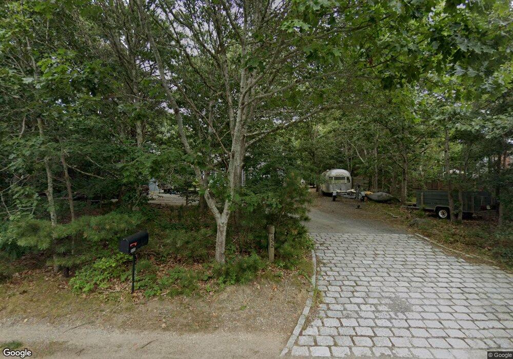
235 Toland Dr Eastham, MA 02642
Estimated Value: $868,000 - $920,000
3
Beds
4
Baths
1,862
Sq Ft
$475/Sq Ft
Est. Value
About This Home
This home is located at 235 Toland Dr, Eastham, MA 02642 and is currently estimated at $884,387, approximately $474 per square foot. 235 Toland Dr is a home located in Barnstable County with nearby schools including Eastham Elementary School, Nauset Regional Middle School, and Nauset Regional High School.
Ownership History
Date
Name
Owned For
Owner Type
Purchase Details
Closed on
Aug 26, 2016
Sold by
Cicale Christopher P
Bought by
Cicale Michael C
Current Estimated Value
Home Financials for this Owner
Home Financials are based on the most recent Mortgage that was taken out on this home.
Original Mortgage
$346,000
Outstanding Balance
$276,283
Interest Rate
3.42%
Mortgage Type
New Conventional
Estimated Equity
$608,104
Purchase Details
Closed on
Nov 5, 2014
Sold by
Cicale Rhea and Cicale Michael J
Bought by
Cicale Michael C and Cicale Christopher P
Purchase Details
Closed on
Dec 13, 1996
Sold by
Kane Francis E
Bought by
Cicale Michael J and Cicale Rhea I
Create a Home Valuation Report for This Property
The Home Valuation Report is an in-depth analysis detailing your home's value as well as a comparison with similar homes in the area
Home Values in the Area
Average Home Value in this Area
Purchase History
| Date | Buyer | Sale Price | Title Company |
|---|---|---|---|
| Cicale Michael C | -- | -- | |
| Cicale Michael C | -- | -- | |
| Cicale Michael C | -- | -- | |
| Cicale Michael J | $100,000 | -- |
Source: Public Records
Mortgage History
| Date | Status | Borrower | Loan Amount |
|---|---|---|---|
| Open | Cicale Michael C | $346,000 | |
| Previous Owner | Cicale Michael J | $195,000 | |
| Previous Owner | Cicale Michael J | $150,000 | |
| Previous Owner | Cicale Michael J | $50,000 |
Source: Public Records
Tax History Compared to Growth
Tax History
| Year | Tax Paid | Tax Assessment Tax Assessment Total Assessment is a certain percentage of the fair market value that is determined by local assessors to be the total taxable value of land and additions on the property. | Land | Improvement |
|---|---|---|---|---|
| 2025 | $6,147 | $797,300 | $278,500 | $518,800 |
| 2024 | $5,435 | $775,300 | $270,300 | $505,000 |
| 2023 | $5,086 | $702,500 | $250,300 | $452,200 |
| 2022 | $4,804 | $559,900 | $223,500 | $336,400 |
| 2021 | $4,712 | $513,300 | $203,100 | $310,200 |
| 2020 | $4,391 | $503,600 | $207,300 | $296,300 |
| 2019 | $4,044 | $490,200 | $201,300 | $288,900 |
| 2018 | $3,984 | $477,100 | $195,500 | $281,600 |
| 2017 | $3,721 | $471,000 | $191,600 | $279,400 |
| 2016 | $3,255 | $437,500 | $162,900 | $274,600 |
| 2015 | $3,057 | $430,600 | $159,700 | $270,900 |
Source: Public Records
Map
Nearby Homes