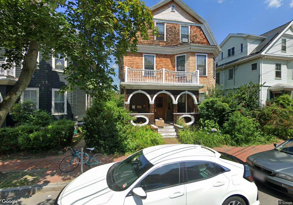
235 Upland Rd Cambridge, MA 02140
Neighborhood Nine NeighborhoodEstimated Value: $2,360,000 - $2,618,151
8
Beds
3
Baths
3,739
Sq Ft
$652/Sq Ft
Est. Value
About This Home
This home is located at 235 Upland Rd, Cambridge, MA 02140 and is currently estimated at $2,439,038, approximately $652 per square foot. 235 Upland Rd is a home located in Middlesex County with nearby schools including Benjamin Banneker Charter Public School, Cambridge Montessori School, and Cambridge Friends School.
Ownership History
Date
Name
Owned For
Owner Type
Purchase Details
Closed on
Jan 7, 1991
Sold by
Mcdermott Chester Est
Bought by
Cohn Amelia R
Current Estimated Value
Home Financials for this Owner
Home Financials are based on the most recent Mortgage that was taken out on this home.
Original Mortgage
$110,000
Interest Rate
9.83%
Mortgage Type
Purchase Money Mortgage
Create a Home Valuation Report for This Property
The Home Valuation Report is an in-depth analysis detailing your home's value as well as a comparison with similar homes in the area
Home Values in the Area
Average Home Value in this Area
Purchase History
| Date | Buyer | Sale Price | Title Company |
|---|---|---|---|
| Cohn Amelia R | $200,000 | -- |
Source: Public Records
Mortgage History
| Date | Status | Borrower | Loan Amount |
|---|---|---|---|
| Closed | Cohn Amelia R | $160,000 | |
| Closed | Cohn Amelia R | $110,000 |
Source: Public Records
Tax History Compared to Growth
Tax History
| Year | Tax Paid | Tax Assessment Tax Assessment Total Assessment is a certain percentage of the fair market value that is determined by local assessors to be the total taxable value of land and additions on the property. | Land | Improvement |
|---|---|---|---|---|
| 2025 | $13,969 | $2,199,900 | $1,031,500 | $1,168,400 |
| 2024 | $13,008 | $2,197,300 | $1,073,100 | $1,124,200 |
| 2023 | $12,184 | $2,079,100 | $1,094,000 | $985,100 |
| 2022 | $11,637 | $1,965,700 | $1,076,900 | $888,800 |
| 2021 | $11,180 | $1,911,100 | $1,056,300 | $854,800 |
| 2020 | $10,576 | $1,839,300 | $1,001,000 | $838,300 |
| 2019 | $10,502 | $1,768,000 | $980,300 | $787,700 |
| 2018 | $10,290 | $1,635,900 | $932,000 | $703,900 |
| 2017 | $10,324 | $1,590,700 | $887,100 | $703,600 |
| 2016 | $9,918 | $1,418,900 | $766,300 | $652,600 |
| 2015 | $9,741 | $1,245,700 | $669,600 | $576,100 |
| 2014 | $9,068 | $1,082,100 | $569,500 | $512,600 |
Source: Public Records
Map
Nearby Homes
- 273 Walden St Unit 2
- 178 Richdale Ave
- 12 Gray Gardens W Unit 14
- 84 Garden St
- 204 Garden St
- 24 Cambridge Terrace Unit 2
- 187 Concord Ave Unit 5
- 281 Concord Ave
- 61 Bolton St Unit 304
- 202 Garden St
- 32 Copley St Unit 2
- 7 Cypress St
- 14-16 Field St
- 318 Concord Ave Unit 2
- 11 Cogswell Ave Unit 13
- 18 Upland Rd Unit 1
- 234 Huron Ave
- 44 Garden St
- 7 Russell St Unit 1
- 71-73 Reservoir St
- 233 Upland Rd
- 239 Upland Rd
- 239 Upland Rd Unit 1
- 5 Chetwynd Rd
- 7 Chetwynd Rd
- 3 Chetwynd Rd
- 254 Upland Rd
- 254 Upland Rd Unit 254 Upland Rd 1
- 254 Upland Rd Unit 2
- 254 Upland Rd Unit 1
- 1 Chetwynd Rd
- 234 Upland Rd
- 230 Upland Rd
- 230 Upland Rd
- 230 Upland Rd Unit 2
- 226 Upland Rd
- 224 Upland Rd Unit 2
- 222 Upland Rd Unit 224
- 222 Upland Rd Unit 224
- 222 Upland Rd Unit 224