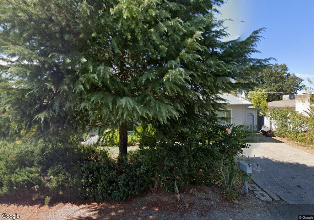
2350 Bonnie Dr Redding, CA 96001
Bonnyview NeighborhoodEstimated Value: $263,000 - $341,507
3
Beds
2
Baths
1,636
Sq Ft
$182/Sq Ft
Est. Value
About This Home
This home is located at 2350 Bonnie Dr, Redding, CA 96001 and is currently estimated at $297,877, approximately $182 per square foot. 2350 Bonnie Dr is a home located in Shasta County with nearby schools including Bonny View Elementary School, Sequoia Middle School, and Shasta High School.
Ownership History
Date
Name
Owned For
Owner Type
Purchase Details
Closed on
Apr 2, 2012
Sold by
Ashbaugh Roger
Bought by
Ashbaugh Roger W and Cornaglia Carla Maria
Current Estimated Value
Purchase Details
Closed on
May 9, 2011
Sold by
Cornaglia Carla
Bought by
Ashbaugh Roger
Purchase Details
Closed on
Apr 12, 2011
Sold by
Ashbaugh Lowell L
Bought by
Ashbaugh Roger
Purchase Details
Closed on
Jan 24, 2006
Sold by
Ashbaugh Barbara L
Bought by
The Ashbaugh Family Trust
Create a Home Valuation Report for This Property
The Home Valuation Report is an in-depth analysis detailing your home's value as well as a comparison with similar homes in the area
Home Values in the Area
Average Home Value in this Area
Purchase History
| Date | Buyer | Sale Price | Title Company |
|---|---|---|---|
| Ashbaugh Roger W | -- | None Available | |
| Ashbaugh Roger | -- | Placer Title Company | |
| Ashbaugh Roger | $110,000 | Placer Title Company | |
| The Ashbaugh Family Trust | -- | None Available |
Source: Public Records
Tax History Compared to Growth
Tax History
| Year | Tax Paid | Tax Assessment Tax Assessment Total Assessment is a certain percentage of the fair market value that is determined by local assessors to be the total taxable value of land and additions on the property. | Land | Improvement |
|---|---|---|---|---|
| 2025 | $623 | $56,946 | $12,159 | $44,787 |
| 2024 | $613 | $55,830 | $11,921 | $43,909 |
| 2023 | $613 | $54,737 | $11,688 | $43,049 |
| 2022 | $602 | $53,664 | $11,459 | $42,205 |
| 2021 | $598 | $52,613 | $11,235 | $41,378 |
| 2020 | $605 | $52,074 | $11,120 | $40,954 |
| 2019 | $576 | $51,053 | $10,902 | $40,151 |
| 2018 | $580 | $50,053 | $10,689 | $39,364 |
| 2017 | $577 | $49,073 | $10,480 | $38,593 |
| 2016 | $558 | $48,112 | $10,275 | $37,837 |
| 2015 | $551 | $47,390 | $10,121 | $37,269 |
| 2014 | $548 | $46,462 | $9,923 | $36,539 |
Source: Public Records
Map
Nearby Homes
- 2396 Wilsey Dr
- 4549 Harrison Ave
- 0 Lot4 Unit 2 Ph 2 Stillwater Unit 25-4962
- 0 Lot3 Unit 2 Ph 2 Stillwater Unit 25-4961
- 0 Lot6 Unit 2 Ph 2 Stillwater Unit 25-4964
- 0 Lot5 Unit 2 Ph 2 Stillwater Unit 25-4963
- 0 Lot16 Unit 2 Ph 2 Stillwater Unit 25-4958
- 0 Lot9 Unit 2 Ph 2 Stillwater Unit 25-4967
- 0 Lot2 Unit 2 Ph 2 Stillwater Unit 25-4960
- 0 Lot11 Unit 2 Ph 2 Stillwater Unit 25-4953
- 0 Lot10 Unit 2 Ph 2 Stillwater Unit 25-4952
- 0 Lot7 Unit 2 Ph 2 Stillwater Unit 25-4965
- 5211 E Bonnyview Rd
- 0000 Wyndham Pointe Subdivision
- 2535 Ruby Ct
- 3817 Thea Dr
- 3660-3671 Technology Way
- 3835 Riverview Dr
- 2680 Howard Dr
- 2630 Wyndham Ln
- 2370 Bonnie Dr
- 2340 Bonnie Dr
- 2380 Bonnie Dr
- 2345 Bonnie Dr
- 2375 Bonnie Dr
- 2396 Bonnie Dr
- 2391 Bonnie Dr
- 2400 Bonnie Dr
- 2401 Bonnie Dr
- 2366 Wilsey Dr
- 2350 Wilsey Dr
- 2380 Wilsey Dr
- 2340 Wilsey Dr
- 4712 Bonnyview Ave
- 2420 Bonnie Dr
- 2410 Wilsey Dr
- 4950 Bonneyview
- 2375 Wilsey Dr
- 2361 Wilsey Dr
- 2391 Wilsey Dr