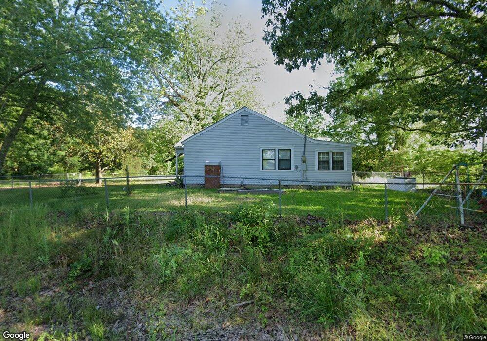
2350 Old Highway 10 West Point, MS 39773
Estimated Value: $89,097 - $162,000
2
Beds
--
Bath
1,332
Sq Ft
$93/Sq Ft
Est. Value
About This Home
This home is located at 2350 Old Highway 10, West Point, MS 39773 and is currently estimated at $123,274, approximately $92 per square foot. 2350 Old Highway 10 is a home with nearby schools including East Side Elementary School, West Clay Elementary School, and Church Hill Elementary School.
Ownership History
Date
Name
Owned For
Owner Type
Purchase Details
Closed on
Dec 11, 2023
Sold by
Taffo Martha G
Bought by
Stafford Martha Gail
Current Estimated Value
Purchase Details
Closed on
Jul 23, 2018
Sold by
Matthews Finis and Bradshaw Monique Stevenson
Bought by
Bradshaw Monique
Purchase Details
Closed on
Jan 22, 2010
Sold by
Stafford Charles L
Bought by
Stafford Charles L and Stafford Matha Gail
Create a Home Valuation Report for This Property
The Home Valuation Report is an in-depth analysis detailing your home's value as well as a comparison with similar homes in the area
Home Values in the Area
Average Home Value in this Area
Purchase History
| Date | Buyer | Sale Price | Title Company |
|---|---|---|---|
| Stafford Martha Gail | -- | None Listed On Document | |
| Bradshaw Monique | -- | -- | |
| Stafford Charles L | -- | -- |
Source: Public Records
Mortgage History
| Date | Status | Borrower | Loan Amount |
|---|---|---|---|
| Closed | Bradshaw Monique | $0 |
Source: Public Records
Tax History Compared to Growth
Tax History
| Year | Tax Paid | Tax Assessment Tax Assessment Total Assessment is a certain percentage of the fair market value that is determined by local assessors to be the total taxable value of land and additions on the property. | Land | Improvement |
|---|---|---|---|---|
| 2024 | $199 | $5,562 | $1,423 | $4,139 |
| 2023 | $347 | $4,803 | $1,423 | $3,380 |
| 2022 | $162 | $4,655 | $1,423 | $3,232 |
| 2021 | $0 | $4,655 | $1,423 | $3,232 |
| 2020 | $0 | $4,655 | $1,423 | $3,232 |
| 2019 | $139 | $4,655 | $1,423 | $3,232 |
| 2018 | $0 | $4,655 | $1,423 | $3,232 |
| 2017 | $139 | $4,655 | $1,423 | $3,232 |
| 2016 | $136 | $4,685 | $1,423 | $3,262 |
| 2015 | $137 | $4,549 | $1,423 | $3,126 |
| 2014 | $112 | $4,520 | $1,423 | $3,097 |
| 2013 | $112 | $4,520 | $1,423 | $3,097 |
Source: Public Records
Map
Nearby Homes
- 20810 Mississippi 50
- Hwy 47 Unit LotWP001
- 001 Mississippi 46
- 145 Pollard Ln
- 18832 Mississippi 50
- 67 Lone Oak Cir
- 222 Lone Oak Park
- 934 Pine Grove Rd
- 593 Lone Oak Park
- Highway 50
- 593 Lone Oak Dr
- Hwy 46
- 222 Wyman Dr
- 165 William Huffman Rd
- 201 Quail Ridge Rd
- 399 Lone Oak Dr
- 10005 Highway 45 Alternate N
- 0 Us Hwy 45a Unit 4033641
- 0 Us Hwy 45a Unit 22-3720
- 0 Us-45 Alt N Lot 14
- 427 Highway 47
- 387 Phelps Rd
- 291 Ms-47
- 200 Phelps Rd
- 2097 Old Highway 10
- 242 Highway 47
- 45 Crump Rd
- 157 Crump Rd
- 885 Highway 47
- 60 Phelps Rd
- 265 Barkemeyer Rd
- 20573 Highway 50 W
- 20519 Highway 50 W
- 599 Barkemeyer Rd
- 20801 Highway 50 W
- 34 Mhoon Valley Rd
- 20716 Highway 50 W
- 1193 Mississippi 47
- 1045 Highway 47
- 20770 Highway 50 W