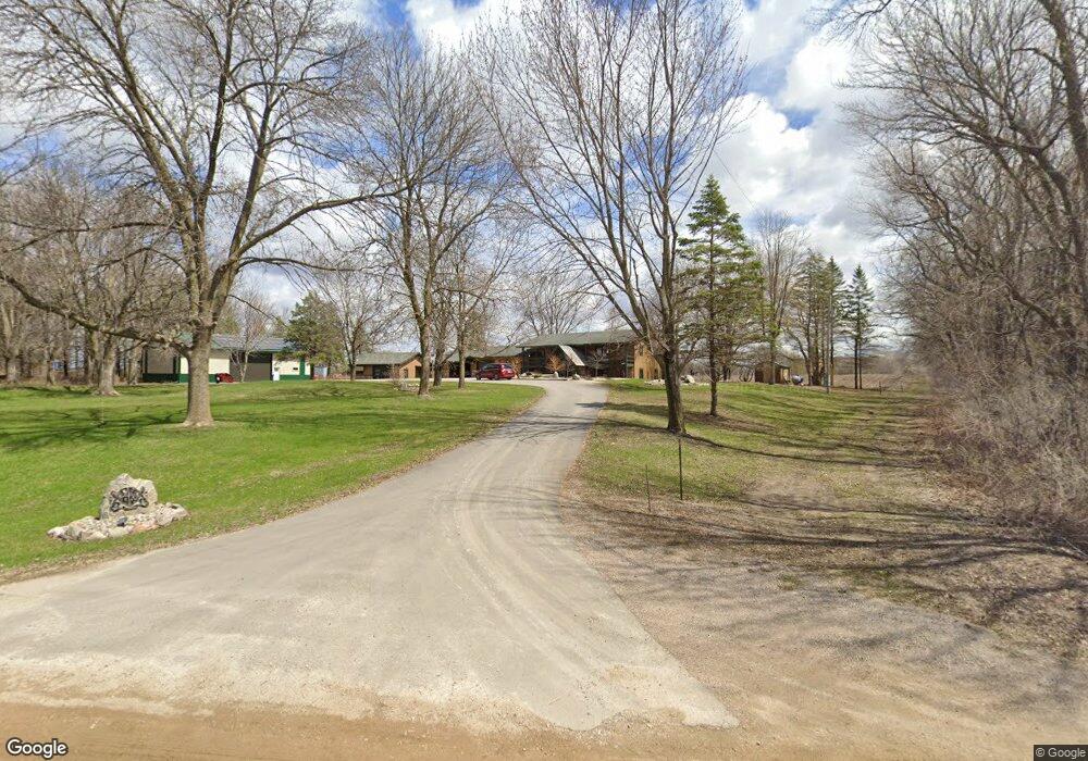
23512 Zion Ave Winsted, MN 55395
Estimated Value: $309,000 - $510,072
3
Beds
2
Baths
1,308
Sq Ft
$306/Sq Ft
Est. Value
About This Home
This home is located at 23512 Zion Ave, Winsted, MN 55395 and is currently estimated at $400,768, approximately $306 per square foot. 23512 Zion Ave is a home located in McLeod County with nearby schools including Winsted Elementary School, Humphrey Elementary School, and Howard Lake-Waverly-Winsted Middle School.
Ownership History
Date
Name
Owned For
Owner Type
Purchase Details
Closed on
May 20, 2015
Sold by
Littfin Leslie C and Littfin Mitchell L
Bought by
Littfin Leslie C and Littfin Mitchell L
Current Estimated Value
Purchase Details
Closed on
Mar 18, 2015
Sold by
Jerome L Jerome L
Bought by
Littfin Mitchell L
Purchase Details
Closed on
Apr 25, 2014
Sold by
Mark J Mark J and Littfin Renee D
Bought by
Littfin Mitchell L and Littfin Leslie C
Home Financials for this Owner
Home Financials are based on the most recent Mortgage that was taken out on this home.
Original Mortgage
$168,390
Interest Rate
4.41%
Mortgage Type
New Conventional
Purchase Details
Closed on
Jun 17, 2010
Sold by
Littfin Mark J and Littfin Renee D
Bought by
Littfin Jerome L
Create a Home Valuation Report for This Property
The Home Valuation Report is an in-depth analysis detailing your home's value as well as a comparison with similar homes in the area
Home Values in the Area
Average Home Value in this Area
Purchase History
| Date | Buyer | Sale Price | Title Company |
|---|---|---|---|
| Littfin Leslie C | -- | Title Mark Llc | |
| Littfin Mitchell L | -- | -- | |
| Littfin Mitchell L | -- | Title Mark Llc | |
| Littfin Jerome L | -- | Old Republic National Title |
Source: Public Records
Mortgage History
| Date | Status | Borrower | Loan Amount |
|---|---|---|---|
| Previous Owner | Littfin Mitchell L | $168,390 |
Source: Public Records
Tax History Compared to Growth
Tax History
| Year | Tax Paid | Tax Assessment Tax Assessment Total Assessment is a certain percentage of the fair market value that is determined by local assessors to be the total taxable value of land and additions on the property. | Land | Improvement |
|---|---|---|---|---|
| 2024 | $4,586 | $469,800 | $143,100 | $326,700 |
| 2023 | $4,570 | $454,700 | $136,300 | $318,400 |
| 2022 | $3,890 | $455,200 | $136,300 | $318,900 |
| 2021 | $3,732 | $332,700 | $104,800 | $227,900 |
| 2020 | $3,710 | $309,300 | $92,300 | $217,000 |
| 2019 | $3,372 | $301,100 | $89,500 | $211,600 |
| 2018 | $2,966 | $0 | $0 | $0 |
| 2017 | $2,750 | $0 | $0 | $0 |
| 2016 | $3,024 | $0 | $0 | $0 |
| 2015 | $2,048 | $0 | $0 | $0 |
| 2014 | -- | $0 | $0 | $0 |
Source: Public Records
Map
Nearby Homes
- 322 Sunfish Ct
- 316 Sunfish Ln
- 342 Sunfish Ln
- 124 George Ave E
- 212 Linden Ave W
- 151 8th St S
- 815 Mallard Ave
- 686 Northgate Dr
- 8785 110th St SW
- 19383 Babcock Ave
- 10864 117th St SW
- 8925 Hollister Ave SW
- 824 Beach Ball Ln
- 223 Maple St N
- 819 Beach Ball Ln
- 230 Hi Mae Cir
- 600 2nd Ave N
- 830 Beach Ball Ln
- 823 Beach Ball Ln
- 821 Beach Ball Ln