23523 Struwin Rd Battle Creek, MI 49017
Estimated Value: $315,000 - $550,342
3
Beds
1
Bath
1,800
Sq Ft
$244/Sq Ft
Est. Value
About This Home
This home is located at 23523 Struwin Rd, Battle Creek, MI 49017 and is currently estimated at $438,836, approximately $243 per square foot. 23523 Struwin Rd is a home with nearby schools including North Pennfield Elementary School, Pennfield Dunlap Elementary School, and Pennfield Middle School.
Ownership History
Date
Name
Owned For
Owner Type
Purchase Details
Closed on
Aug 29, 2003
Bought by
Hughey Jeffrey A
Current Estimated Value
Home Financials for this Owner
Home Financials are based on the most recent Mortgage that was taken out on this home.
Original Mortgage
$71,920
Interest Rate
6.04%
Mortgage Type
Credit Line Revolving
Purchase Details
Closed on
Aug 26, 2003
Sold by
Holway David J and Holway Myrna A
Bought by
Hughey Jeffrey A
Home Financials for this Owner
Home Financials are based on the most recent Mortgage that was taken out on this home.
Original Mortgage
$71,920
Interest Rate
6.04%
Mortgage Type
Credit Line Revolving
Create a Home Valuation Report for This Property
The Home Valuation Report is an in-depth analysis detailing your home's value as well as a comparison with similar homes in the area
Home Values in the Area
Average Home Value in this Area
Purchase History
| Date | Buyer | Sale Price | Title Company |
|---|---|---|---|
| Hughey Jeffrey A | $89,900 | -- | |
| Hughey Jeffrey A | $89,900 | First American Title Ins Co |
Source: Public Records
Mortgage History
| Date | Status | Borrower | Loan Amount |
|---|---|---|---|
| Previous Owner | Hughey Jeffrey A | $71,920 |
Source: Public Records
Tax History Compared to Growth
Tax History
| Year | Tax Paid | Tax Assessment Tax Assessment Total Assessment is a certain percentage of the fair market value that is determined by local assessors to be the total taxable value of land and additions on the property. | Land | Improvement |
|---|---|---|---|---|
| 2025 | $6,384 | $225,800 | $0 | $0 |
| 2024 | $4,230 | $209,600 | $0 | $0 |
| 2023 | $8,009 | $158,720 | $0 | $0 |
| 2022 | $3,837 | $148,910 | $0 | $0 |
| 2021 | $7,856 | $144,390 | $0 | $0 |
| 2020 | $7,732 | $139,460 | $0 | $0 |
| 2019 | $7,478 | $129,480 | $0 | $0 |
| 2018 | $7,035 | $123,200 | $59,130 | $64,070 |
| 2017 | $0 | $122,730 | $0 | $0 |
| 2016 | $0 | $53,680 | $0 | $0 |
| 2015 | -- | $54,480 | $0 | $0 |
| 2014 | -- | $51,340 | $0 | $0 |
Source: Public Records
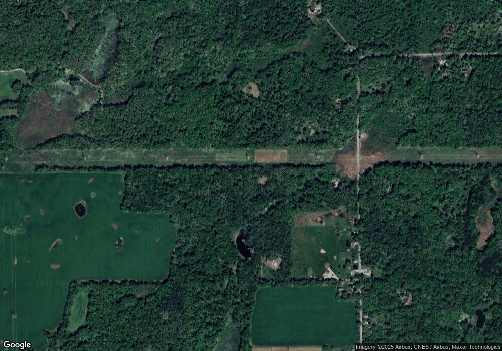
Map
Nearby Homes
- 22511 Capital Ave NE
- 8290 Huff Rd
- 6475 Poorman Rd
- 22150 East Ave N
- 23720 M 78
- 21520 Swafford Rd
- 9559 Brian Dr
- 22975 Pine Lake Rd
- 7645 Wolf Rd
- 14475 North Ave
- V/L East Ave N
- 850 Sylvan Dr
- 855 Sylvan Dr
- 6381 Saint Marys Lake Rd
- 118 Red Bird Ln
- Vl Waubascon Rd Lot Unit WP001
- 220 Pennbrook Trail
- 22485 Clear Lake Rd N
- VL Waubascon Rd Lot#wp001
- 10950 W Dr N
- 23521 Struwin Rd
- 23499 Struwin Rd
- 23583 Struwin Rd
- 23597 Struwin Rd
- 23581 Struwin Rd
- 23541 Struwin Rd
- 23609 Struwin Rd
- 23699 Struwin Rd
- 23327 Struwin Rd
- 23388 Struwin Rd
- 23889 Struwin Rd
- 23456 Struwin Rd
- 23700 Struwin Rd
- 23909 Struwin Rd
- 23205 Struwin Rd
- 23179 Struwin Rd
- 23955 Struwin Rd
- 23940 Struwin Rd
- 23182 Struwin Rd
- 23141 Struwin Rd