2354 Hohn Rd High Point, NC 27263
Estimated Value: $345,000 - $520,000
--
Bed
--
Bath
3,111
Sq Ft
$143/Sq Ft
Est. Value
About This Home
This home is located at 2354 Hohn Rd, High Point, NC 27263 and is currently estimated at $443,338, approximately $142 per square foot. 2354 Hohn Rd is a home with nearby schools including John R. Lawrence Elementary School, Wheatmore Middle School, and Trinity High School.
Ownership History
Date
Name
Owned For
Owner Type
Purchase Details
Closed on
May 29, 2012
Sold by
Wilmoth Tommy Joe and Wilmoth Jean U
Bought by
Hohn David Milton
Current Estimated Value
Home Financials for this Owner
Home Financials are based on the most recent Mortgage that was taken out on this home.
Original Mortgage
$25,000
Interest Rate
3.9%
Mortgage Type
Purchase Money Mortgage
Create a Home Valuation Report for This Property
The Home Valuation Report is an in-depth analysis detailing your home's value as well as a comparison with similar homes in the area
Home Values in the Area
Average Home Value in this Area
Purchase History
| Date | Buyer | Sale Price | Title Company |
|---|---|---|---|
| Hohn David Milton | $31,000 | None Available |
Source: Public Records
Mortgage History
| Date | Status | Borrower | Loan Amount |
|---|---|---|---|
| Closed | Hohn David Milton | $25,000 |
Source: Public Records
Tax History Compared to Growth
Tax History
| Year | Tax Paid | Tax Assessment Tax Assessment Total Assessment is a certain percentage of the fair market value that is determined by local assessors to be the total taxable value of land and additions on the property. | Land | Improvement |
|---|---|---|---|---|
| 2025 | $2,577 | $352,880 | $54,830 | $298,050 |
| 2024 | $2,097 | $291,070 | $54,830 | $236,240 |
| 2023 | $2,097 | $291,070 | $54,830 | $236,240 |
| 2022 | $1,751 | $200,080 | $31,780 | $168,300 |
| 2021 | $1,726 | $197,310 | $31,780 | $165,530 |
| 2020 | $1,712 | $197,310 | $31,780 | $165,530 |
| 2019 | $1,712 | $197,310 | $31,780 | $165,530 |
| 2018 | $1,945 | $216,670 | $31,410 | $185,260 |
| 2016 | $1,894 | $306,166 | $120,910 | $185,256 |
| 2015 | $1,899 | $306,166 | $120,910 | $185,256 |
| 2014 | -- | $306,166 | $120,910 | $185,256 |
Source: Public Records
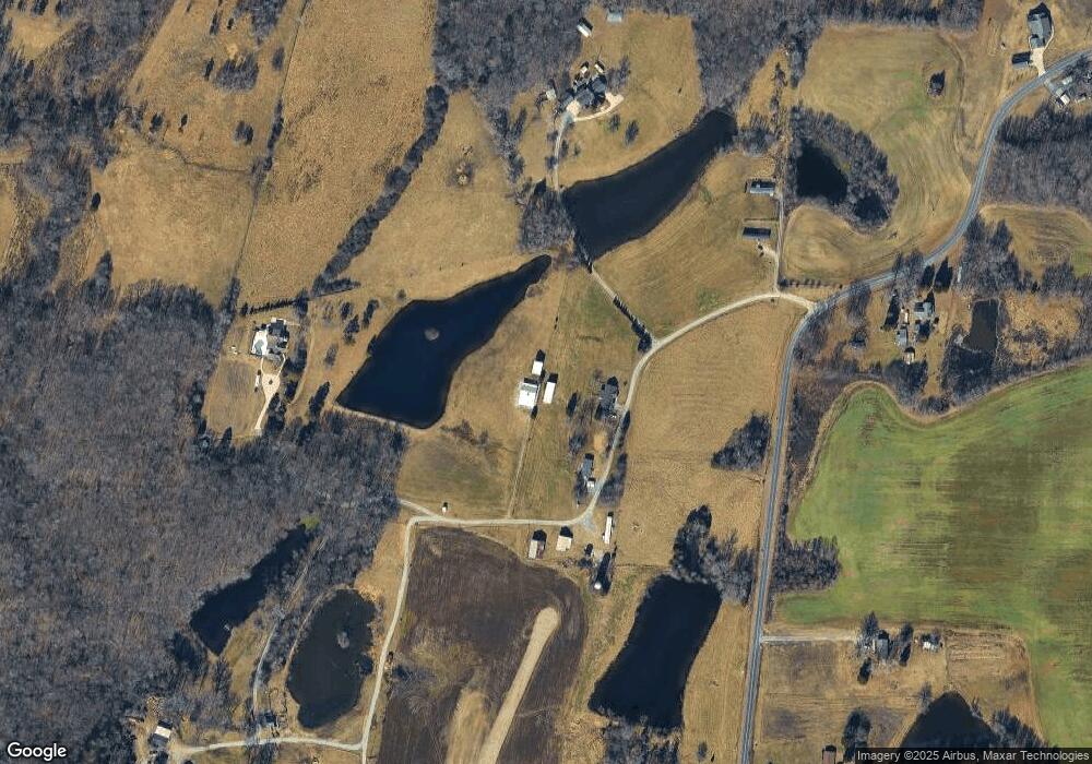
Map
Nearby Homes
- 0 Harlow Rd
- 6534 Frazier Marsh Rd
- 0 Tom Ball Rd
- 2060 Coltrane Mill Rd
- 2994 Stanley Rd Unit 13
- 0 Old Cedar Square Rd
- 5590 Old Cedar Square Rd
- 6955 Harlow Dr
- 0 Hughes Farm Rd Unit 1201373
- 8434 Us Highway 311
- 9116 Us Highway 311
- 5988 Weant Rd
- 0-B Us Highway 311
- 6071 Weant Rd
- 3368 Old Glenola Rd
- 9256 Us Highway 311
- 100 Lindsay Dr
- 115 Lindsay Dr
- 9622 Us Highway 311
- 6007 Checker Rd
- 2444 Hohn Rd
- 2380 Hohn Rd
- 6588 Canter Rd
- 6671 Canter Rd
- 8069 Harlow Rd
- 8155 Harlow Rd
- 8207 Harlow Rd
- 8171 Harlow Rd
- 8185 Harlow Rd
- 8038 Harlow Rd
- 6664 Muddy Creek Rd
- 6412 Canter Rd
- 2447 Hohn Rd
- 2244 Mcneill Rd
- 7925 Harlow Rd
- 6466 Muddy Creek Rd
- 2238 Mcneill Rd
- 7946 Harlow Rd
- 2265 Mcneill Rd
- 6560 Muddy Creek Rd