2355 N Shore Dr McCall, ID 83638
Estimated Value: $2,024,000 - $3,366,914
2
Beds
1
Bath
1,280
Sq Ft
$2,218/Sq Ft
Est. Value
About This Home
This home is located at 2355 N Shore Dr, McCall, ID 83638 and is currently estimated at $2,839,305, approximately $2,218 per square foot. 2355 N Shore Dr is a home with nearby schools including McCall-Donnelly High School.
Ownership History
Date
Name
Owned For
Owner Type
Purchase Details
Closed on
Jul 23, 2025
Sold by
Williams Richard N and Williams Shauna T
Bought by
Zoke Properties Llc
Current Estimated Value
Purchase Details
Closed on
Oct 16, 2024
Sold by
Williams Richard N and Williams Shauna T
Bought by
Williams Ronald L and Williams Sara A
Purchase Details
Closed on
Sep 15, 2020
Sold by
Williams Ronald L and Estate Of Richard Ledru Willia
Bought by
Williams Richard N and Williams Ronald L
Purchase Details
Closed on
Sep 9, 2020
Sold by
Williams Richard Ledru
Bought by
Williams Richard N and Williams Ronald L
Purchase Details
Closed on
Dec 25, 2019
Sold by
Payette Lakes Cabin Irrevocable Interviv and Williams Richard Ledru
Bought by
Williams Richard Ledru
Create a Home Valuation Report for This Property
The Home Valuation Report is an in-depth analysis detailing your home's value as well as a comparison with similar homes in the area
Purchase History
| Date | Buyer | Sale Price | Title Company |
|---|---|---|---|
| Zoke Properties Llc | -- | Title One | |
| Williams Ronald L | -- | None Listed On Document | |
| Williams Richard N | -- | None Listed On Document | |
| Williams Richard N | -- | First American Title Company | |
| Williams Richard N | -- | First American Title | |
| Williams Richard Ledru | -- | First American Title | |
| Williams Richard Ledru | -- | None Available |
Source: Public Records
Tax History
| Year | Tax Paid | Tax Assessment Tax Assessment Total Assessment is a certain percentage of the fair market value that is determined by local assessors to be the total taxable value of land and additions on the property. | Land | Improvement |
|---|---|---|---|---|
| 2025 | $8,083 | $3,085,573 | $2,634,593 | $450,980 |
| 2023 | $8,083 | $3,111,145 | $2,717,071 | $394,074 |
| 2022 | $6,544 | $2,836,844 | $2,508,847 | $327,997 |
| 2021 | $6,976 | $1,976,120 | $1,823,804 | $152,316 |
| 2020 | $7,354 | $1,781,376 | $1,660,570 | $120,806 |
| 2019 | $7,398 | $1,686,079 | $1,567,292 | $118,787 |
| 2018 | $8,022 | $1,650,248 | $1,527,063 | $123,185 |
| 2017 | $8,420 | $1,529,317 | $1,410,827 | $118,490 |
| 2016 | $8,536 | $1,515,917 | $1,410,827 | $105,090 |
| 2015 | $8,714 | $1,478,747 | $0 | $0 |
| 2013 | -- | $1,535,601 | $0 | $0 |
Source: Public Records
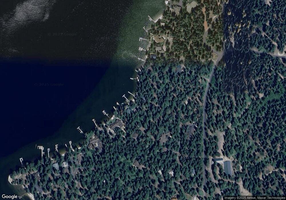
Map
Nearby Homes
- 942 Strawberry Ln
- 1089 Graham Dr
- 1107 Mo's Way
- 1643 Ginney Way
- 1409 Dragonfly Loop
- 13910 Sky View Ct Unit 8
- 722 Lick Creek Rd Unit 8
- 1355 Majestic View Dr
- 1008 Violet Way
- Lot 68 Aspen Ridge Ln
- Lot 68 Aspen Ridge Ln Unit 68
- 600 Diamond St
- 943 Cottage Ct
- 1607 Davis Ave Unit C6
- 1607 Davis Ave Unit E-12
- TBD Heavens Gate
- 1175 Majestic View Dr Unit 5
- 1425 Majestic View Dr Unit 82
- 1670 Majestic View Dr Unit 33
- 1435 Majestic View Dr
- 1353 N the Chute Dr
- 2365 Northshore Dr
- 1357 the Chute
- 2375 N Shore Dr
- TBD Northshore Dr Unit So. Pt. 23
- 2325 N Shore Dr
- 2333 Tooting Ln
- 2375 Eastside Dr
- 2329 Tooting Ln
- 1389 Ford Dr
- 1391 Ford Dr
- 2326 N Shore Dr
- 2325 Tooting Ln
- 1344 Ridgeway Ln
- 1387 Ford Dr
- 1247 N Shore Dr
- 2635 Eastside Dr Unit 21/B
- 2635 Eastside Dr
- 1378 Ridgeway Ln
Your Personal Tour Guide
Ask me questions while you tour the home.