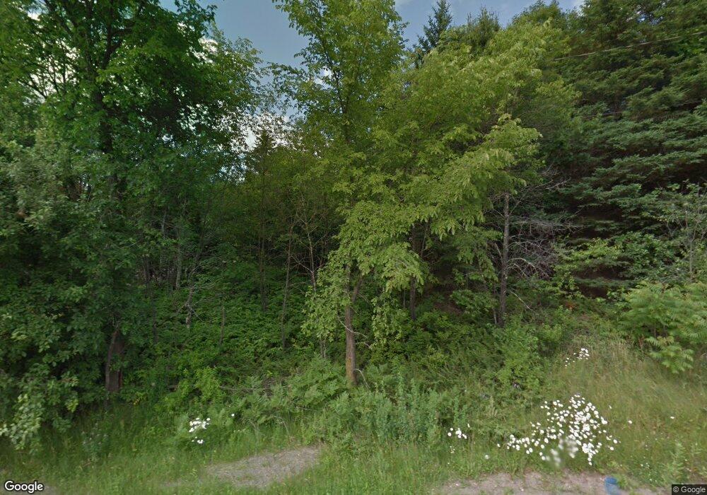
2355 Route 2 Hermon, ME 04401
Estimated Value: $267,000 - $371,000
2
Beds
1
Bath
825
Sq Ft
$368/Sq Ft
Est. Value
About This Home
This home is located at 2355 Route 2, Hermon, ME 04401 and is currently estimated at $303,200, approximately $367 per square foot. 2355 Route 2 is a home located in Penobscot County with nearby schools including Patricia A Duran School, Hermon Middle School, and Hermon High School.
Ownership History
Date
Name
Owned For
Owner Type
Purchase Details
Closed on
Jul 25, 2023
Sold by
Hall William A and Hall Susan B
Bought by
Garrett A Hall T A and Garrett Hall
Current Estimated Value
Purchase Details
Closed on
Jan 12, 2022
Sold by
Hall William A and Hall Susan B
Bought by
Hall Michael W and Hall Timothy A
Purchase Details
Closed on
Aug 1, 2008
Sold by
Hall William A and Hall Susan B
Bought by
Hall Michael W and Doak Karla A
Home Financials for this Owner
Home Financials are based on the most recent Mortgage that was taken out on this home.
Original Mortgage
$71,000
Interest Rate
6.47%
Mortgage Type
Commercial
Create a Home Valuation Report for This Property
The Home Valuation Report is an in-depth analysis detailing your home's value as well as a comparison with similar homes in the area
Home Values in the Area
Average Home Value in this Area
Purchase History
| Date | Buyer | Sale Price | Title Company |
|---|---|---|---|
| Garrett A Hall T A | -- | None Available | |
| Hall Michael W | -- | None Available | |
| Hall Michael W | -- | -- |
Source: Public Records
Mortgage History
| Date | Status | Borrower | Loan Amount |
|---|---|---|---|
| Previous Owner | Hall Michael W | $71,000 |
Source: Public Records
Tax History Compared to Growth
Tax History
| Year | Tax Paid | Tax Assessment Tax Assessment Total Assessment is a certain percentage of the fair market value that is determined by local assessors to be the total taxable value of land and additions on the property. | Land | Improvement |
|---|---|---|---|---|
| 2024 | $2,422 | $222,200 | $39,300 | $182,900 |
| 2023 | $2,388 | $203,200 | $36,600 | $166,600 |
| 2022 | $2,132 | $179,200 | $32,600 | $146,600 |
| 2021 | $2,101 | $175,200 | $31,500 | $143,700 |
| 2020 | $2,068 | $172,500 | $30,800 | $141,700 |
| 2019 | $2,115 | $176,400 | $30,000 | $146,400 |
| 2018 | $2,046 | $176,400 | $30,000 | $146,400 |
| 2017 | $1,673 | $137,100 | $40,400 | $96,700 |
| 2016 | $1,528 | $127,300 | $38,900 | $88,400 |
| 2015 | $1,489 | $124,100 | $37,400 | $86,700 |
| 2014 | $1,480 | $123,292 | $37,400 | $85,892 |
Source: Public Records
Map
Nearby Homes
- 2425- U S 2
- 204 Edenfield Dr
- 63 Cambridge Dr
- 37 Hunter Dr
- 37 Hunter Dr Unit 37
- Lot11 Boxwood
- 148 Mountain View Dr
- 41 Wendy Acres Dr
- 91 Wendy Acres Dr
- 287 Partridge Ln
- 273 Partridge Ln
- 283 Partridge Ln
- 555 Westwood Dr
- 567 Deerfield Dr
- Lot 81 Fuller Rd
- 522 North St
- 202 Orchard Dr
- 22 Stoneybrook Way
- 455 Billings Rd
- 22 Memory Ln
