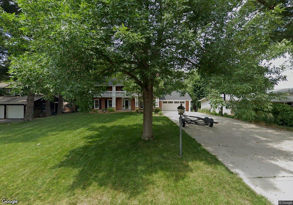
2355 Simpson St Dubuque, IA 52003
Estimated Value: $698,814 - $795,000
4
Beds
5
Baths
4,007
Sq Ft
$185/Sq Ft
Est. Value
About This Home
This home is located at 2355 Simpson St, Dubuque, IA 52003 and is currently estimated at $739,454, approximately $184 per square foot. 2355 Simpson St is a home located in Dubuque County with nearby schools including Bryant Elementary School, George Washington Middle School, and Dubuque Senior High School.
Ownership History
Date
Name
Owned For
Owner Type
Purchase Details
Closed on
Jun 9, 2006
Sold by
Mylrea James M and Mylrea Jane M
Bought by
Brock Scott A and Brock Tara L
Current Estimated Value
Home Financials for this Owner
Home Financials are based on the most recent Mortgage that was taken out on this home.
Original Mortgage
$355,500
Outstanding Balance
$210,289
Interest Rate
6.68%
Mortgage Type
New Conventional
Estimated Equity
$529,165
Create a Home Valuation Report for This Property
The Home Valuation Report is an in-depth analysis detailing your home's value as well as a comparison with similar homes in the area
Home Values in the Area
Average Home Value in this Area
Purchase History
| Date | Buyer | Sale Price | Title Company |
|---|---|---|---|
| Brock Scott A | $395,000 | None Available |
Source: Public Records
Mortgage History
| Date | Status | Borrower | Loan Amount |
|---|---|---|---|
| Open | Brock Scott A | $355,500 |
Source: Public Records
Tax History Compared to Growth
Tax History
| Year | Tax Paid | Tax Assessment Tax Assessment Total Assessment is a certain percentage of the fair market value that is determined by local assessors to be the total taxable value of land and additions on the property. | Land | Improvement |
|---|---|---|---|---|
| 2025 | $9,552 | $749,200 | $55,200 | $694,000 |
| 2024 | $9,552 | $674,500 | $52,600 | $621,900 |
| 2023 | $9,330 | $678,800 | $52,600 | $626,200 |
| 2022 | $8,824 | $542,500 | $44,700 | $497,800 |
| 2021 | $8,824 | $542,500 | $44,700 | $497,800 |
| 2020 | $8,640 | $494,580 | $44,700 | $449,880 |
| 2019 | $8,586 | $494,580 | $44,700 | $449,880 |
| 2018 | $8,452 | $470,360 | $36,810 | $433,550 |
| 2017 | $8,342 | $470,360 | $36,810 | $433,550 |
| 2016 | $8,168 | $440,510 | $36,810 | $403,700 |
| 2015 | $8,168 | $440,510 | $36,810 | $403,700 |
| 2014 | $7,592 | $421,280 | $36,810 | $384,470 |
Source: Public Records
Map
Nearby Homes
- 1985 Marion St
- 130 Devon Dr
- 17 Jenni St
- 2620 Knob Hill Dr
- 670 Duggan Dr
- 1993 Hale St
- 190 Bradley St
- 2625 New Haven St
- 222 S Grandview Ave
- 224 S Grandview Ave
- 3280 Lake Front Dr
- 1395 Brown Ave
- 722 June Dr
- 1051 Barbaralee Dr
- 3160 Sequoia Cir
- 1760 Plymouth Ct
- 991 June Dr
- 1568 Fairfax Ave
- 1727 Overview Ct
- 615 S Grandview Ave
- 2345 Simpson St
- 2315 Simpson St
- 2350 Coates St
- 255 Cross St
- 2340 Coates St
- 2445 Simpson St
- 2360 Coates St
- 265 Cross St
- 2305 Simpson St
- 2350 Simpson St
- 2380 Coates St
- 2380 Simpson St
- 2310 Coates St
- 2390 Coates St
- 290 Southgate Dr
- 270 Cross St
- 280 Cross St
- 2343 Coates St
- 2355 Coates St
- 2310 Simpson St