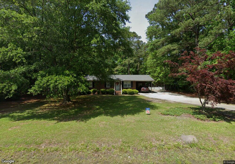
2356 Pauls Path Rd Kinston, NC 28504
Estimated Value: $140,000 - $171,000
3
Beds
1
Bath
1,098
Sq Ft
$139/Sq Ft
Est. Value
About This Home
This home is located at 2356 Pauls Path Rd, Kinston, NC 28504 and is currently estimated at $152,220, approximately $138 per square foot. 2356 Pauls Path Rd is a home located in Lenoir County with nearby schools including Banks Elementary School, E.B. Frink Middle School, and North Lenoir High School.
Ownership History
Date
Name
Owned For
Owner Type
Purchase Details
Closed on
Apr 7, 2014
Sold by
Williams Richard L and Williams Phyllis S
Bought by
Williams Richard L and Williams Phyllis S
Current Estimated Value
Purchase Details
Closed on
May 2, 2013
Sold by
Williams Richard L
Bought by
Williams Richard L and Williams Phyllis S
Purchase Details
Closed on
Apr 16, 2013
Sold by
Tyndall Elwood G and Tyndall Angela
Bought by
Williams Richard L
Create a Home Valuation Report for This Property
The Home Valuation Report is an in-depth analysis detailing your home's value as well as a comparison with similar homes in the area
Home Values in the Area
Average Home Value in this Area
Purchase History
| Date | Buyer | Sale Price | Title Company |
|---|---|---|---|
| Williams Richard L | $3,500 | None Available | |
| Williams Richard L | -- | None Available | |
| Williams Richard L | $49,500 | None Available |
Source: Public Records
Tax History Compared to Growth
Tax History
| Year | Tax Paid | Tax Assessment Tax Assessment Total Assessment is a certain percentage of the fair market value that is determined by local assessors to be the total taxable value of land and additions on the property. | Land | Improvement |
|---|---|---|---|---|
| 2025 | $1,054 | $133,097 | $16,417 | $116,680 |
| 2024 | $651 | $72,090 | $16,128 | $55,962 |
| 2023 | $741 | $72,090 | $16,128 | $55,962 |
| 2022 | $741 | $72,090 | $16,128 | $55,962 |
| 2021 | $739 | $72,090 | $16,128 | $55,962 |
| 2020 | $739 | $72,090 | $16,128 | $55,962 |
| 2019 | $741 | $72,090 | $16,128 | $55,962 |
| 2018 | $730 | $72,090 | $16,128 | $55,962 |
| 2017 | $727 | $72,090 | $16,128 | $55,962 |
| 2014 | $414 | $84,435 | $16,128 | $68,307 |
| 2013 | -- | $84,435 | $16,128 | $68,307 |
| 2011 | -- | $84,435 | $16,128 | $68,307 |
Source: Public Records
Map
Nearby Homes
- 2443 Creekside Rd
- Lot 2 Branchwood Dr
- 2886 Fox Run Cir
- 2912 Fox Run Cir
- 3128 Kelly Rd
- 2673 Stokes Cir
- 2683 Stokes Cir
- 3178 Alton Phillips Rd
- 2712 Stokes Cir
- 2193 Dogwood Ln
- 2746 Pinewood Dr
- 2544 Dogwood Ln
- 2445 Tammy Dr
- 2585 Cabin Branch Rd
- 3145 Lakewood Dr Unit 3155
- 58 Old English Ln
- 2634 Forrest Dr
- 1957 Country Squire Rd
- 2704 Forrest Dr
- 2321 Fred Everett Rd
- 2334 Pauls Path Rd
- 2384 Pauls Path Rd
- 2365 Pauls Path Rd
- 2322 Pauls Path Rd
- 2400 Pauls Path Rd
- 2339 Pauls Path Rd
- 2403 Pauls Path Rd
- 2419 Pauls Path Rd
- 2854 Branchwood Dr
- 2563 Westridge Rd
- 2575 Westridge Rd
- 2434 Pauls Path Rd
- 2444 Pauls Path Rd
- 2441 Pauls Path Rd
- 2376 Pauls Path Rd
- 2857 Branchwood Dr
- 2532 Westridge Rd
- 2802 Branchwood Dr
- 2737 Alton Phillips Rd
- 2851 Branchwood Dr