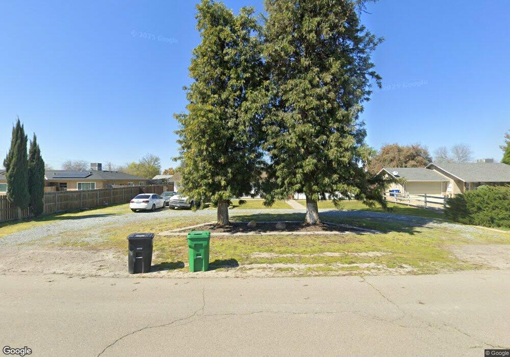
2356 van Dorsten Ave Corcoran, CA 93212
Estimated Value: $268,000 - $301,000
3
Beds
2
Baths
1,532
Sq Ft
$190/Sq Ft
Est. Value
About This Home
This home is located at 2356 van Dorsten Ave, Corcoran, CA 93212 and is currently estimated at $290,612, approximately $189 per square foot. 2356 van Dorsten Ave is a home located in Kings County with nearby schools including Mark Twain Elementary School, Bret Harte Elementary School, and John C. Fremont Elementary School.
Ownership History
Date
Name
Owned For
Owner Type
Purchase Details
Closed on
Feb 18, 2010
Sold by
Syra Brandee Marie
Bought by
Deutsche Bank National Trust Company
Current Estimated Value
Purchase Details
Closed on
Jun 2, 2000
Sold by
Nave Larry and Nave Marie
Bought by
Syra Brandee Marie
Home Financials for this Owner
Home Financials are based on the most recent Mortgage that was taken out on this home.
Original Mortgage
$114,059
Interest Rate
8.67%
Mortgage Type
FHA
Create a Home Valuation Report for This Property
The Home Valuation Report is an in-depth analysis detailing your home's value as well as a comparison with similar homes in the area
Purchase History
| Date | Buyer | Sale Price | Title Company |
|---|---|---|---|
| Deutsche Bank National Trust Company | $100,020 | Accommodation | |
| Syra Brandee Marie | $115,000 | First American Title Co |
Source: Public Records
Mortgage History
| Date | Status | Borrower | Loan Amount |
|---|---|---|---|
| Previous Owner | Syra Brandee Marie | $114,059 |
Source: Public Records
Tax History
| Year | Tax Paid | Tax Assessment Tax Assessment Total Assessment is a certain percentage of the fair market value that is determined by local assessors to be the total taxable value of land and additions on the property. | Land | Improvement |
|---|---|---|---|---|
| 2025 | $1,725 | $173,288 | $45,209 | $128,079 |
| 2023 | $1,725 | $166,560 | $43,454 | $123,106 |
| 2022 | $1,666 | $163,295 | $42,602 | $120,693 |
| 2021 | $1,632 | $160,094 | $41,767 | $118,327 |
| 2020 | $1,608 | $158,453 | $41,339 | $117,114 |
| 2019 | $1,867 | $155,346 | $40,528 | $114,818 |
| 2018 | $1,842 | $152,300 | $39,733 | $112,567 |
| 2017 | $1,805 | $149,314 | $38,954 | $110,360 |
| 2016 | $1,507 | $146,386 | $38,190 | $108,196 |
| 2015 | $1,504 | $144,187 | $37,616 | $106,571 |
| 2014 | $1,476 | $141,362 | $36,879 | $104,483 |
Source: Public Records
Map
Nearby Homes
- 1530 Ottawa Ave
- 1609 Brewer Ave
- 2145 Dairy Ave Unit A
- 1926 Carnation Ct
- 1210 Village Dr
- 1851 van Dorsten Ave
- 0 S Dairy Ave
- 975 San Joaquin Ave
- 1931 Dairy Ave
- 1801 Hale Ave
- 1036 Bainum Ave
- 1813 Josephine Ave
- 1717 Letts Ave
- 1702 Chittenden Ave
- 1728 Estes Ave
- 1633 Chase Ave
- 1611 Letts Ave
- 1021 Stanley Ave
- 1732 Hume Lake Ave
- 1720 Hume Lake Ave
- 2348 van Dorsten Ave
- 2362 van Dorsten Ave
- 1312 Pueblo Ave
- 2332 van Dorsten Ave
- 1302 Pueblo Ave
- 2345 van Dorsten Ave
- 1386 Pueblo Ave
- 2310 van Dorsten Ave
- 1412 Pueblo Ave
- 1104 Pueblo Ave
- 1472 Pueblo Ave
- 1070 Pueblo Ave
- 1502 Pueblo Ave
- 2213 van Dorsten Ave
- 1050 Pueblo Ave
- 1512 Pueblo Ave
- 2211 van Dorsten Ave
- 1020 Pueblo Ave
- 2245 van Dorsten Ave
- 2235 van Dorsten Ave
