
Seller's Agent in 2018
Todd Burroughs
Crown Realty of Kansas, Inc.
(913) 742-2173
184 Total Sales
Estimated Value: $334,000 - $1,078,017
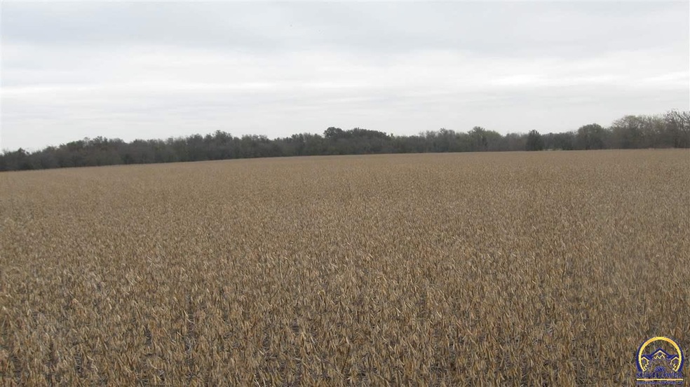
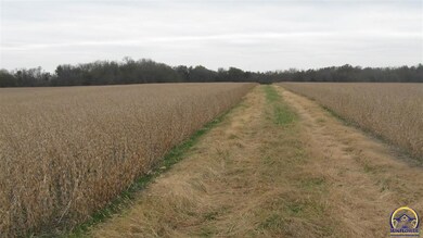
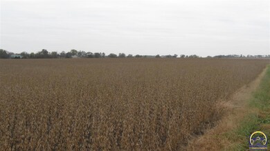
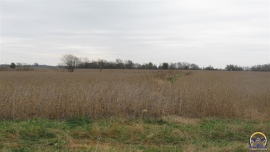
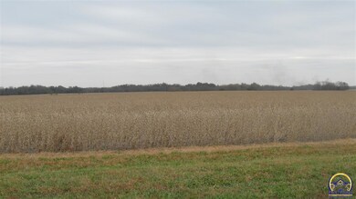
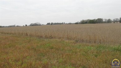
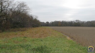
Very nice 230 acre farm. 153 acres tillable balance in pasture, hay ground and timber for hunting. 9.5 acres in CRP buffer any filter strips paying $675/year. Excellent type 2 & 3 soils. Great deer, turkey and quail hunting! 1326 square foot ranch style home built in 1946 with 3 outbuildings. THIS PROPERTY WAS DIVIDED INTO 2 PARCELS WITH THE SALE OF 222 ACRES +/-.
| Date | Event | Price | List to Sale | Price per Sq Ft |
|---|---|---|---|---|
| 05/30/2018 05/30/18 | Sold | -- | -- | -- |
| 02/15/2018 02/15/18 | Pending | -- | -- | -- |
| 11/02/2017 11/02/17 | For Sale | $847,500 | -- | $639 / Sq Ft |
| Year | Tax Paid | Tax Assessment Tax Assessment Total Assessment is a certain percentage of the fair market value that is determined by local assessors to be the total taxable value of land and additions on the property. | Land | Improvement |
|---|---|---|---|---|
| 2025 | $2,335 | $25,612 | $2,265 | $23,347 |
| 2024 | $2,335 | $24,634 | $2,232 | $22,402 |
| 2023 | $2,435 | $22,537 | $1,801 | $20,736 |
| 2022 | $2,731 | $20,706 | $1,592 | $19,114 |
| 2021 | $2,634 | $14,338 | $1,413 | $12,925 |
| 2020 | $1,403 | $11,716 | $927 | $10,789 |
| 2019 | $2,678 | $9,435 | $912 | $8,523 |
Seller's Agent in 2018
Todd Burroughs
Crown Realty of Kansas, Inc.
(913) 742-2173
184 Total Sales
Source: Sunflower Association of REALTORS®
MLS Number: 198226
APN: 138-34-0-00-00-006.01-0
Disclaimer: Certain information contained herein is derived from information provided by parties other than Homes.com. All information provided is deemed reliable, but is not guaranteed to be accurate and should be independently verified.
![]() Based on information submitted to the MLS GRID. All data is obtained from various sources and may not have been verified by broker or MLS GRID. Supplied Open House Information is subject to change without notice. All information should be independently reviewed and verified for accuracy. Properties may or may not be listed by the office/agent presenting the information. Some IDX listings have been excluded from this website.
Based on information submitted to the MLS GRID. All data is obtained from various sources and may not have been verified by broker or MLS GRID. Supplied Open House Information is subject to change without notice. All information should be independently reviewed and verified for accuracy. Properties may or may not be listed by the office/agent presenting the information. Some IDX listings have been excluded from this website.
Based on information submitted to the MLS GRID
Ask me questions while you tour the home.