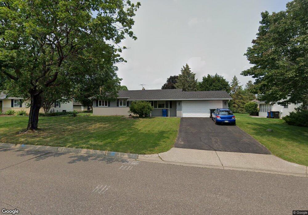
2357 Maple Ln E Saint Paul, MN 55109
Maplewood Heights NeighborhoodEstimated Value: $354,673 - $391,000
3
Beds
2
Baths
832
Sq Ft
$445/Sq Ft
Est. Value
About This Home
This home is located at 2357 Maple Ln E, Saint Paul, MN 55109 and is currently estimated at $369,918, approximately $444 per square foot. 2357 Maple Ln E is a home located in Ramsey County with nearby schools including Richardson Elementary School, John Glenn Middle School, and Christ Lutheran School.
Ownership History
Date
Name
Owned For
Owner Type
Purchase Details
Closed on
Sep 6, 2023
Sold by
Rongstad Frances C
Bought by
Xiong Tou
Current Estimated Value
Home Financials for this Owner
Home Financials are based on the most recent Mortgage that was taken out on this home.
Original Mortgage
$329,800
Outstanding Balance
$323,089
Interest Rate
7.18%
Mortgage Type
New Conventional
Estimated Equity
$46,829
Create a Home Valuation Report for This Property
The Home Valuation Report is an in-depth analysis detailing your home's value as well as a comparison with similar homes in the area
Home Values in the Area
Average Home Value in this Area
Purchase History
| Date | Buyer | Sale Price | Title Company |
|---|---|---|---|
| Xiong Tou | $340,000 | Land Title |
Source: Public Records
Mortgage History
| Date | Status | Borrower | Loan Amount |
|---|---|---|---|
| Open | Xiong Tou | $329,800 |
Source: Public Records
Tax History
| Year | Tax Paid | Tax Assessment Tax Assessment Total Assessment is a certain percentage of the fair market value that is determined by local assessors to be the total taxable value of land and additions on the property. | Land | Improvement |
|---|---|---|---|---|
| 2025 | $4,556 | $369,800 | $81,800 | $288,000 |
| 2023 | $4,556 | $326,200 | $81,800 | $244,400 |
| 2022 | $4,100 | $319,300 | $81,800 | $237,500 |
| 2021 | $3,726 | $283,000 | $81,800 | $201,200 |
| 2020 | $3,796 | $264,900 | $81,800 | $183,100 |
| 2019 | $3,420 | $252,800 | $81,800 | $171,000 |
| 2018 | $3,272 | $233,800 | $81,800 | $152,000 |
| 2017 | $3,192 | $219,400 | $81,800 | $137,600 |
| 2016 | $3,314 | $0 | $0 | $0 |
| 2015 | $3,152 | $213,000 | $72,800 | $140,200 |
| 2014 | $2,570 | $0 | $0 | $0 |
Source: Public Records
Map
Nearby Homes
- 2946 Mcknight Rd N
- 2245 Maple Ln E
- 2974 Howard St N
- 2724 Mcknight Rd N
- 2662 Delaware Ave
- 2654 Delaware Ave
- 2701 Gerald Ave
- 2345 17th Ave E
- 2339 17th Ave E
- 2333 17th Ave E
- 2327 17th Ave E
- 2067 Mesabi Ave
- 2065 Woodlynn Ave
- 2308 16th Ave E
- 3084 Chisholm Ct N
- 2521 Sumac Ridge
- 2562 Manitou Ln
- 2523 Sumac Ridge
- 3150 Glen Oaks Ave Unit 111A
- 3150 Glen Oaks Ave Unit 105A
- 2349 Maple Ln E
- 2365 Maple Ln E
- 2346 Standridge Ave
- 2346 Standridge Ave E
- 2352 Standridge Ave
- 2340 Standridge Ave E
- 2341 Maple Ln E
- 2373 Maple Ln E
- 2350 Maple Ln E
- 2358 Maple Ln E
- 2358 Standridge Ave
- 2334 Standridge Ave
- 2342 Maple Ln E
- 2905 Chippewa Ave
- 2366 Maple Ln E
- 2333 Maple Ln E
- 2336 Maple Ln E
- 2328 Standridge Ave
- 2364 Standridge Ave
- 2364 Standridge Ave E
Your Personal Tour Guide
Ask me questions while you tour the home.