2359 Shulls Fork Rd Gilbert, SC 29054
Estimated Value: $862,000 - $1,120,873
4
Beds
4
Baths
2,797
Sq Ft
$349/Sq Ft
Est. Value
About This Home
This home is located at 2359 Shulls Fork Rd, Gilbert, SC 29054 and is currently estimated at $976,218, approximately $349 per square foot. 2359 Shulls Fork Rd is a home located in Lexington County with nearby schools including Centerville Elementary School, Gilbert Middle School, and Gilbert High School.
Ownership History
Date
Name
Owned For
Owner Type
Purchase Details
Closed on
May 23, 2019
Sold by
Crouch Wyont Charles Edward and Crouch Wyont Karen
Bought by
Mcdaniel Charles W and Mcdaniel Doris W
Current Estimated Value
Home Financials for this Owner
Home Financials are based on the most recent Mortgage that was taken out on this home.
Original Mortgage
$174,000
Outstanding Balance
$152,670
Interest Rate
4.1%
Mortgage Type
Commercial
Estimated Equity
$823,548
Purchase Details
Closed on
Dec 28, 2005
Sold by
Statewide Properties Llc
Bought by
Wyont Charles Edward and Wyont Karen Crouch
Create a Home Valuation Report for This Property
The Home Valuation Report is an in-depth analysis detailing your home's value as well as a comparison with similar homes in the area
Home Values in the Area
Average Home Value in this Area
Purchase History
| Date | Buyer | Sale Price | Title Company |
|---|---|---|---|
| Mcdaniel Charles W | $232,000 | None Available | |
| Wyont Charles Edward | -- | -- |
Source: Public Records
Mortgage History
| Date | Status | Borrower | Loan Amount |
|---|---|---|---|
| Open | Mcdaniel Charles W | $174,000 |
Source: Public Records
Tax History
| Year | Tax Paid | Tax Assessment Tax Assessment Total Assessment is a certain percentage of the fair market value that is determined by local assessors to be the total taxable value of land and additions on the property. | Land | Improvement |
|---|---|---|---|---|
| 2024 | $3,775 | $23,158 | $9,280 | $13,878 |
| 2023 | $3,458 | $23,158 | $9,280 | $13,878 |
| 2020 | $6,676 | $13,920 | $13,920 | $0 |
| 2019 | $6,078 | $11,903 | $11,903 | $0 |
| 2018 | $5,859 | $11,903 | $11,903 | $0 |
| 2017 | $5,761 | $11,903 | $11,903 | $0 |
| 2016 | $5,582 | $11,902 | $11,902 | $0 |
| 2014 | $4,501 | $10,350 | $10,350 | $0 |
| 2013 | -- | $10,350 | $10,350 | $0 |
Source: Public Records
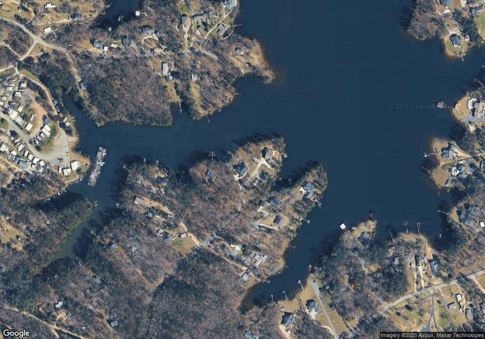
Map
Nearby Homes
- 1233 Shull Island Rd
- 1317 Shore Rd
- 1148 Shull Island Rd
- 1459 Bombing Range Rd
- 1305 Rock Island Rd
- 1633 Barracks Dr
- 116 Aloha Ct
- 417 Dot Ct
- 870 Shore Rd
- 180 Lillian St
- 0 Misty Cir Unit 566318
- 148 Pintail Lake Dr
- 157 Blue Wing Dr
- 274 Pintail Lake Dr
- 278 Pintail Lake Dr
- 1 Downing Cir
- 64 Downing Cir
- 532 Radnor Hunt Ct
- 204 Chamois Ct
- 1301 Camping Rd
- 2358 Shulls Fork Rd
- 2366 Shulls Fork Rd
- 2366 Shulls Fork Rd Unit 29054
- 2345 Shulls Fork Rd
- 2350 Shulls Fork Rd
- 2342 Shulls Fork Rd
- 2346 Shulls Fork Rd
- 118 Shull Fork Ct
- 2338 Shulls Fork Rd
- 1350 Shore Rd
- 124 Shull Fork Ct
- 109 Shull Fork Ct
- 2334 Shulls Fork Rd
- 1344 Shore Rd
- 2337 Shulls Fork Rd
- 1340 Shore Rd
- 2330 Shulls Fork Rd
- 2327 Shulls Fork Rd
- 1223 Shull Island Rd
- 1349 Shore Rd
Your Personal Tour Guide
Ask me questions while you tour the home.