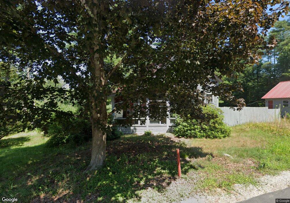
236 Bog Rd Concord, NH 03303
West Concord NeighborhoodEstimated Value: $365,000 - $429,000
3
Beds
1
Bath
1,916
Sq Ft
$208/Sq Ft
Est. Value
About This Home
This home is located at 236 Bog Rd, Concord, NH 03303 and is currently estimated at $399,012, approximately $208 per square foot. 236 Bog Rd is a home located in Merrimack County with nearby schools including Beaver Meadow School, Rundlett Middle School, and Concord High School.
Ownership History
Date
Name
Owned For
Owner Type
Purchase Details
Closed on
Feb 27, 2013
Sold by
Bank New York Mellon T
Bought by
Rix Gail
Current Estimated Value
Purchase Details
Closed on
Apr 2, 2012
Sold by
Littlefield Heidi A
Bought by
Bank New York Mellon T
Create a Home Valuation Report for This Property
The Home Valuation Report is an in-depth analysis detailing your home's value as well as a comparison with similar homes in the area
Home Values in the Area
Average Home Value in this Area
Purchase History
| Date | Buyer | Sale Price | Title Company |
|---|---|---|---|
| Rix Gail | $68,300 | -- | |
| Bank New York Mellon T | $117,000 | -- |
Source: Public Records
Tax History
| Year | Tax Paid | Tax Assessment Tax Assessment Total Assessment is a certain percentage of the fair market value that is determined by local assessors to be the total taxable value of land and additions on the property. | Land | Improvement |
|---|---|---|---|---|
| 2025 | $6,873 | $236,100 | $130,800 | $105,300 |
| 2024 | $6,538 | $236,100 | $130,800 | $105,300 |
| 2023 | $6,342 | $236,100 | $130,800 | $105,300 |
| 2022 | $5,758 | $222,400 | $130,800 | $91,600 |
| 2021 | $5,567 | $221,600 | $130,800 | $90,800 |
| 2020 | $4,972 | $185,800 | $100,300 | $85,500 |
| 2019 | $4,606 | $165,800 | $91,600 | $74,200 |
| 2018 | $4,451 | $157,900 | $82,400 | $75,500 |
| 2017 | $4,431 | $156,900 | $83,300 | $73,600 |
| 2016 | $4,217 | $152,400 | $83,300 | $69,100 |
| 2015 | $3,833 | $148,300 | $83,300 | $65,000 |
| 2014 | $3,976 | $148,300 | $83,300 | $65,000 |
| 2013 | -- | $147,100 | $83,300 | $63,800 |
| 2012 | -- | $176,700 | $83,300 | $93,400 |
Source: Public Records
Map
Nearby Homes
- 25 Island Rd
- 00 Elm St Unit 1
- 68 Great Falls Dr
- 25 Cheryl Dr
- 14 Cheryl Dr
- 37 Alice Dr Unit 129
- 37 Alice Dr Unit 75
- 18 Dawn Dr
- 9 Amy Way
- 14 S Emperor Dr
- 26 Whitewater Dr Unit 21
- 42 Modena Dr
- 13 Suffolk Rd Unit 5
- 13 Suffolk Rd Unit 4
- 13 Suffolk Rd Unit 8
- 64A Hutchins St
- 4 Tanager Cir Unit 8
- 4 Tanager Cir Unit 7
- 4 Tanager Cir Unit 5
- 4 Tanager Cir Unit 3
Your Personal Tour Guide
Ask me questions while you tour the home.