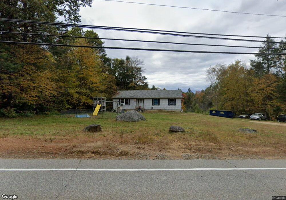
236 Buckley Hwy Stafford Springs, CT 06076
Stafford NeighborhoodEstimated Value: $365,000 - $405,000
4
Beds
3
Baths
1,350
Sq Ft
$285/Sq Ft
Est. Value
About This Home
This home is located at 236 Buckley Hwy, Stafford Springs, CT 06076 and is currently estimated at $385,265, approximately $285 per square foot. 236 Buckley Hwy is a home located in Tolland County with nearby schools including Stafford Elementary School, Stafford Middle School, and Stafford High School.
Ownership History
Date
Name
Owned For
Owner Type
Purchase Details
Closed on
Sep 29, 2006
Sold by
Carrier Marc and Carrier Cynthia
Bought by
Norman Rodney and Norman Theresa
Current Estimated Value
Home Financials for this Owner
Home Financials are based on the most recent Mortgage that was taken out on this home.
Original Mortgage
$204,800
Outstanding Balance
$134,690
Interest Rate
8.39%
Estimated Equity
$250,575
Purchase Details
Closed on
Aug 28, 2000
Sold by
Stark Darrell
Bought by
Carrier Marc and Carrier Cynthia
Create a Home Valuation Report for This Property
The Home Valuation Report is an in-depth analysis detailing your home's value as well as a comparison with similar homes in the area
Home Values in the Area
Average Home Value in this Area
Purchase History
| Date | Buyer | Sale Price | Title Company |
|---|---|---|---|
| Norman Rodney | $256,000 | -- | |
| Carrier Marc | $130,000 | -- |
Source: Public Records
Mortgage History
| Date | Status | Borrower | Loan Amount |
|---|---|---|---|
| Open | Carrier Marc | $204,800 | |
| Closed | Carrier Marc | $51,200 | |
| Previous Owner | Carrier Marc | $140,000 |
Source: Public Records
Tax History Compared to Growth
Tax History
| Year | Tax Paid | Tax Assessment Tax Assessment Total Assessment is a certain percentage of the fair market value that is determined by local assessors to be the total taxable value of land and additions on the property. | Land | Improvement |
|---|---|---|---|---|
| 2025 | $8,379 | $147,770 | $32,060 | $115,710 |
| 2024 | $5,702 | $147,770 | $32,060 | $115,710 |
| 2023 | $5,432 | $147,770 | $32,060 | $115,710 |
| 2022 | $5,287 | $147,770 | $32,060 | $115,710 |
| 2021 | $6,547 | $147,770 | $32,060 | $115,710 |
| 2020 | $6,342 | $143,360 | $37,240 | $106,120 |
| 2019 | $6,342 | $142,520 | $37,240 | $105,280 |
| 2018 | $4,883 | $142,520 | $37,240 | $105,280 |
| 2017 | $4,836 | $142,520 | $37,240 | $105,280 |
| 2016 | $5,933 | $142,520 | $37,240 | $105,280 |
| 2015 | $4,898 | $146,790 | $37,240 | $109,550 |
| 2014 | $4,848 | $146,790 | $37,240 | $109,550 |
Source: Public Records
Map
Nearby Homes
- 8 South Rd Unit W86
- 8 South Rd Unit WW4
- 8 South Rd Unit R80
- 8 South Rd Unit R29
- 74 Crooked S Rd
- 3 Hemlock Cir
- 13 Goodell Rd
- 89 Bradway Rd
- 336 East St
- 28 Fluery Dr
- 23 East St
- 174 Stafford St
- 61 Lohse Rd
- 57 Lohse Rd
- 28 Cemetery Rd
- 20 Grant Ave
- 385 East St
- 21 Ashley Ln
- 237 Upper Rd
- 92 Furnace Ave Unit 68
- 228 Buckley Hwy
- 246 Buckley Hwy
- 204 Buckley Hwy
- 256 Buckley Hwy
- 196 Buckley Hwy
- 257 Buckley Hwy
- 260 Buckley Hwy
- 197 Buckley Hwy
- 188 Buckley Hwy
- 165 Crooked S Rd
- 173 Crooked S Rd
- 186 Buckley Hwy
- 176 Fenton Rd
- 177 Buckley Hwy
- 176 Buckley Hwy
- 175 Buckley Hwy
- 161-65 Crooked Rd S
- 172 Buckley Hwy
- 284 Buckley Hwy
- 159 Crooked S Rd