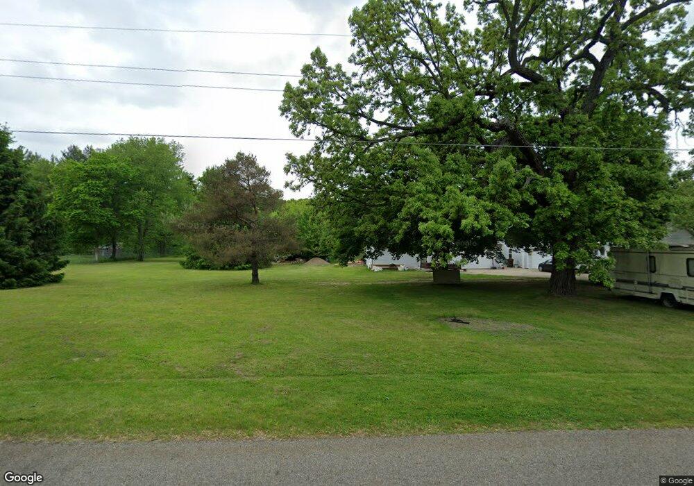
236 Clarence Blvd Battle Creek, MI 49014
Estimated Value: $208,000 - $242,142
2
Beds
1
Bath
2,344
Sq Ft
$95/Sq Ft
Est. Value
About This Home
This home is located at 236 Clarence Blvd, Battle Creek, MI 49014 and is currently estimated at $223,536, approximately $95 per square foot. 236 Clarence Blvd is a home located in Calhoun County with nearby schools including Pennfield Dunlap Elementary School, Pennfield Purdy School, and Pennfield Middle School.
Ownership History
Date
Name
Owned For
Owner Type
Purchase Details
Closed on
Feb 7, 2025
Sold by
Gay Christine Marie
Bought by
Gay Christine Marie and Gay Gregory Lee
Current Estimated Value
Purchase Details
Closed on
Mar 19, 2002
Sold by
Vanvleet Philip and Vanvleet Rhonda
Bought by
Gay Christine Marie
Purchase Details
Closed on
Jul 16, 1997
Sold by
Johnson William and Johnson Carol
Bought by
Vanvleet Philip and Vanvleet Rhonda
Purchase Details
Closed on
Feb 21, 1996
Sold by
Johnson William D
Bought by
Johnson William and Johnson Carol
Purchase Details
Closed on
Jun 1, 1990
Create a Home Valuation Report for This Property
The Home Valuation Report is an in-depth analysis detailing your home's value as well as a comparison with similar homes in the area
Home Values in the Area
Average Home Value in this Area
Purchase History
| Date | Buyer | Sale Price | Title Company |
|---|---|---|---|
| Gay Christine Marie | -- | None Listed On Document | |
| Gay Christine Marie | -- | None Listed On Document | |
| Gay Christine Marie | $122,000 | -- | |
| Vanvleet Philip | $92,000 | -- | |
| Johnson William | $100 | -- | |
| -- | $51,900 | -- |
Source: Public Records
Tax History Compared to Growth
Tax History
| Year | Tax Paid | Tax Assessment Tax Assessment Total Assessment is a certain percentage of the fair market value that is determined by local assessors to be the total taxable value of land and additions on the property. | Land | Improvement |
|---|---|---|---|---|
| 2025 | $2,557 | $103,700 | $0 | $0 |
| 2024 | $1,164 | $92,800 | $0 | $0 |
| 2023 | $2,255 | $84,480 | $0 | $0 |
| 2022 | $1,056 | $70,050 | $0 | $0 |
| 2021 | $2,215 | $67,100 | $0 | $0 |
| 2020 | $2,179 | $67,400 | $0 | $0 |
| 2019 | $2,105 | $60,380 | $0 | $0 |
| 2018 | $1,938 | $52,250 | $11,410 | $40,840 |
| 2017 | $0 | $53,260 | $0 | $0 |
| 2016 | $0 | $49,270 | $0 | $0 |
| 2015 | -- | $47,440 | $18,301 | $29,139 |
| 2014 | -- | $46,150 | $18,301 | $27,849 |
Source: Public Records
Map
Nearby Homes
- 215 Pony Ave
- 114 Wanondoger Cir
- 8671 Gorsline Rd
- 150 Pennbrook Trail
- 220 Pennbrook Trail
- 20259 Pine Lake Rd
- 1731 Capital Ave NE
- 20291 Chippewa Trail
- 125 Sunset Blvd W
- 19687 East Ave N
- 110 Harriet Ln
- 21 Bradley St
- 0 Hopkins St
- 0 Capital Ave NE
- 0 Pickford Ave
- 6722 Morgan Rd E
- 52 Thorncroft Ave
- 731 Roosevelt Ave E
- Integrity 1605 Plan at Loganwood Acres - North
- Integrity 1250 Plan at Loganwood Acres - North
- 218 Clarence Blvd
- 260 Clarence Blvd
- 235 Clarence Blvd
- 233 Clarence Blvd
- 145 Pony Ave
- 261 Clarence Blvd
- 278 Clarence Blvd
- 219 Clarence Blvd
- 192 Clarence Blvd
- 191 Clarence Blvd
- 285 Clarence Blvd
- 130 Pony Ave
- 161 Pony Ave
- 292 Clarence Blvd
- 185 Clarence Blvd
- 190 Clarence Blvd
- 171 Pony Ave
- 170 Pony Ave
- 301 Clarence Blvd
- 146 Sellers Rd