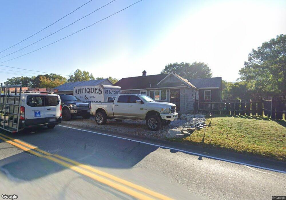
236 Hubbard Ave Pittsfield, MA 01201
Estimated Value: $411,000 - $536,624
--
Bed
--
Bath
--
Sq Ft
1.3
Acres
About This Home
This home is located at 236 Hubbard Ave, Pittsfield, MA 01201 and is currently estimated at $458,406. 236 Hubbard Ave is a home with nearby schools including Wahconah Regional High School, St. Agnes Academy, and Sacred Heart School.
Ownership History
Date
Name
Owned For
Owner Type
Purchase Details
Closed on
Dec 27, 2018
Sold by
Anthony J Pivero Nt
Bought by
Hall Scott
Current Estimated Value
Home Financials for this Owner
Home Financials are based on the most recent Mortgage that was taken out on this home.
Original Mortgage
$100,000
Outstanding Balance
$88,448
Interest Rate
4.9%
Mortgage Type
New Conventional
Estimated Equity
$369,958
Purchase Details
Closed on
Apr 19, 2016
Sold by
Ajp Lt
Bought by
Anthony J Pivero Nt
Create a Home Valuation Report for This Property
The Home Valuation Report is an in-depth analysis detailing your home's value as well as a comparison with similar homes in the area
Home Values in the Area
Average Home Value in this Area
Purchase History
| Date | Buyer | Sale Price | Title Company |
|---|---|---|---|
| Hall Scott | $100,000 | -- | |
| Anthony J Pivero Nt | -- | -- |
Source: Public Records
Mortgage History
| Date | Status | Borrower | Loan Amount |
|---|---|---|---|
| Open | Hall Scott | $100,000 |
Source: Public Records
Tax History Compared to Growth
Tax History
| Year | Tax Paid | Tax Assessment Tax Assessment Total Assessment is a certain percentage of the fair market value that is determined by local assessors to be the total taxable value of land and additions on the property. | Land | Improvement |
|---|---|---|---|---|
| 2025 | $7,121 | $392,800 | $135,900 | $256,900 |
| 2024 | $6,803 | $373,800 | $127,400 | $246,400 |
| 2023 | $6,278 | $337,800 | $118,900 | $218,900 |
| 2022 | $6,278 | $302,700 | $113,300 | $189,400 |
| 2021 | $6,423 | $298,600 | $113,300 | $185,300 |
| 2020 | $5,870 | $289,300 | $113,300 | $176,000 |
| 2019 | $5,330 | $273,600 | $107,600 | $166,000 |
| 2018 | $5,388 | $270,600 | $107,600 | $163,000 |
| 2017 | $5,377 | $270,600 | $107,600 | $163,000 |
| 2016 | $5,312 | $270,600 | $107,600 | $163,000 |
| 2015 | $5,220 | $268,100 | $107,600 | $160,500 |
Source: Public Records
Map
Nearby Homes
- 1 Pondview Dr Unit C3
- 1106 South St
- 0 Crane Ave
- 18 Pleasantview Dr
- 9 Crane Ave
- 13 Pleasantview Dr
- 80 Mcintosh Dr
- 304 Dalton Division Rd
- 90 Cheshire Rd
- 144 Kittredge Rd
- 82 Williamsburg Terrace
- 87 Maryland Ave
- 17 Kittredge Rd
- 0 Dalton Division Rd
- 63 Asci Dr
- 66 Oak Street Extension
- 16 2nd St
- 100 Elaine Dr
- 68 Howe Rd
- 50 Grand Ave
- 252 Hubbard Ave
- 25 Downing Industrial Pkwy
- 172 Hubbard Ave
- 35 Downing Industrial Pkwy
- 139 Hubbard Ave
- 158 Hubbard Ave
- 40 Downing Industrial Pkwy
- 43 Downing Industrial Pkwy
- 43 Downing Pkwy
- 50 Downing II
- D4 Woodstream Dr
- 81 Richard Dr
- 72 Richard Dr
- 88 Elaine Ave
- D1 Woodstream Dr Unit D1
- D5 Woodstream Dr Unit 5
- D5 Woodstream Dr Unit 1
- 14 Federico Dr
- 78 Elaine Ave
- 899 South St