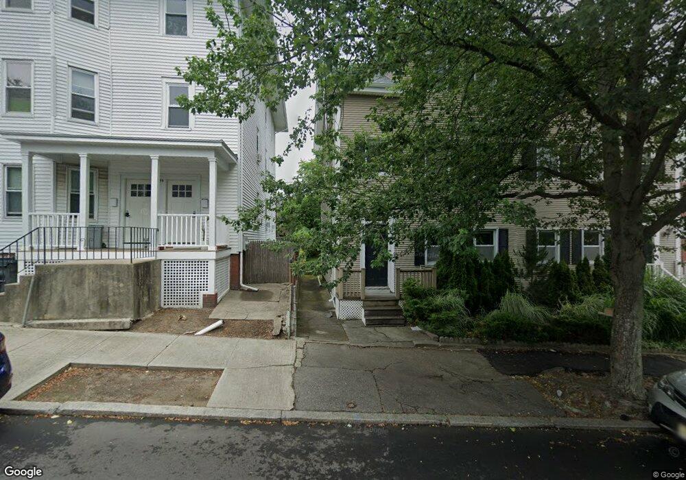
236 Power St Providence, RI 02906
Fox Point NeighborhoodEstimated Value: $597,000 - $830,000
6
Beds
3
Baths
2,932
Sq Ft
$256/Sq Ft
Est. Value
About This Home
This home is located at 236 Power St, Providence, RI 02906 and is currently estimated at $751,000, approximately $256 per square foot. 236 Power St is a home located in Providence County with nearby schools including French-American School of Rhode Island, Wheeler School, and Lincoln School.
Ownership History
Date
Name
Owned For
Owner Type
Purchase Details
Closed on
Aug 5, 1992
Sold by
Adler Frederick J
Bought by
Lima Jeffrey P
Current Estimated Value
Home Financials for this Owner
Home Financials are based on the most recent Mortgage that was taken out on this home.
Original Mortgage
$88,100
Interest Rate
8.4%
Create a Home Valuation Report for This Property
The Home Valuation Report is an in-depth analysis detailing your home's value as well as a comparison with similar homes in the area
Home Values in the Area
Average Home Value in this Area
Purchase History
| Date | Buyer | Sale Price | Title Company |
|---|---|---|---|
| Lima Jeffrey P | $97,500 | -- | |
| Lima Jeffrey P | $97,500 | -- |
Source: Public Records
Mortgage History
| Date | Status | Borrower | Loan Amount |
|---|---|---|---|
| Open | Lima Jeffrey P | $130,000 | |
| Closed | Lima Jeffrey P | $88,100 |
Source: Public Records
Tax History
| Year | Tax Paid | Tax Assessment Tax Assessment Total Assessment is a certain percentage of the fair market value that is determined by local assessors to be the total taxable value of land and additions on the property. | Land | Improvement |
|---|---|---|---|---|
| 2025 | $10,349 | $739,200 | $324,000 | $415,200 |
| 2024 | $9,810 | $534,600 | $226,800 | $307,800 |
| 2023 | $9,810 | $534,600 | $226,800 | $307,800 |
| 2022 | $9,516 | $534,600 | $226,800 | $307,800 |
| 2021 | $9,448 | $384,700 | $180,200 | $204,500 |
| 2020 | $9,448 | $384,700 | $180,200 | $204,500 |
| 2019 | $9,448 | $384,700 | $180,200 | $204,500 |
| 2018 | $8,824 | $276,100 | $156,800 | $119,300 |
| 2017 | $8,824 | $276,100 | $156,800 | $119,300 |
| 2016 | $8,824 | $276,100 | $156,800 | $119,300 |
| 2015 | $8,262 | $249,600 | $156,800 | $92,800 |
| 2014 | $8,424 | $249,600 | $156,800 | $92,800 |
| 2013 | $8,424 | $249,600 | $156,800 | $92,800 |
Source: Public Records
Map
Nearby Homes
- 18 Amy St
- 14 Amy St
- 45 E George St
- 42 Fremont St
- 42 E Transit St
- 124 Pitman St
- 165 Waterman St Unit 2
- 670 Wickenden St
- 20 Governor St
- 16 Governor St
- 355 Angell St Unit 7
- 400 Angell St
- 427 Wickenden St
- 453 Angell St
- 20 Taber Ave
- 374 Wickenden St
- 185 Transit St
- 164 Butler Ave Unit B
- 15 Humboldt Ave
- 30 S Angell St Unit 2
- 234 Power St
- 232 Power St
- 69 Preston St
- 230 Power St
- 81 Preston St Unit 2
- 81 Preston St Unit 1
- 83 Preston St Unit 2
- 83 Preston St Unit 3
- 83 Preston St
- 158 Gano St
- 85 Preston St Unit 3
- 65 Preston St
- 65 Preston St Unit 2
- 160 Gano St
- 224 Power St
- 87 Preston St
- 233 Power St Unit 2
- 248 Power St Unit 2
- 246 Power St
- 246 Power St Unit 3
Your Personal Tour Guide
Ask me questions while you tour the home.