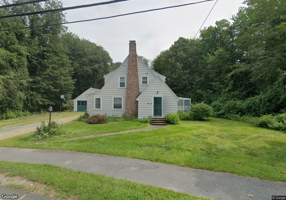
236 Raymond Rd Sudbury, MA 01776
Estimated Value: $745,982 - $1,176,000
3
Beds
2
Baths
1,435
Sq Ft
$620/Sq Ft
Est. Value
About This Home
This home is located at 236 Raymond Rd, Sudbury, MA 01776 and is currently estimated at $889,746, approximately $620 per square foot. 236 Raymond Rd is a home located in Middlesex County with nearby schools including Israel Loring Elementary School, Ephraim Curtis Middle School, and Lincoln-Sudbury Regional High School.
Ownership History
Date
Name
Owned For
Owner Type
Purchase Details
Closed on
May 26, 1994
Sold by
Mccarthy Thomas F and Mccarthy Myrna I
Bought by
Walsh Timothy and Kessler-Walsh Gail
Current Estimated Value
Home Financials for this Owner
Home Financials are based on the most recent Mortgage that was taken out on this home.
Original Mortgage
$85,000
Interest Rate
8.22%
Mortgage Type
Purchase Money Mortgage
Create a Home Valuation Report for This Property
The Home Valuation Report is an in-depth analysis detailing your home's value as well as a comparison with similar homes in the area
Home Values in the Area
Average Home Value in this Area
Purchase History
| Date | Buyer | Sale Price | Title Company |
|---|---|---|---|
| Walsh Timothy | $231,250 | -- | |
| Walsh Timothy | $231,250 | -- |
Source: Public Records
Mortgage History
| Date | Status | Borrower | Loan Amount |
|---|---|---|---|
| Open | Walsh Timothy | $150,000 | |
| Closed | Walsh Timothy | $50,000 | |
| Closed | Walsh Timothy | $25,000 | |
| Closed | Walsh Timothy | $85,000 |
Source: Public Records
Tax History Compared to Growth
Tax History
| Year | Tax Paid | Tax Assessment Tax Assessment Total Assessment is a certain percentage of the fair market value that is determined by local assessors to be the total taxable value of land and additions on the property. | Land | Improvement |
|---|---|---|---|---|
| 2025 | $9,353 | $638,900 | $390,200 | $248,700 |
| 2024 | $9,029 | $618,000 | $378,800 | $239,200 |
| 2023 | $9,195 | $583,100 | $350,700 | $232,400 |
| 2022 | $9,021 | $499,800 | $321,900 | $177,900 |
| 2021 | $8,846 | $469,800 | $321,900 | $147,900 |
| 2020 | $8,668 | $469,800 | $321,900 | $147,900 |
| 2019 | $8,414 | $469,800 | $321,900 | $147,900 |
| 2018 | $8,637 | $481,700 | $343,300 | $138,400 |
| 2017 | $8,104 | $456,800 | $326,600 | $130,200 |
| 2016 | $7,837 | $440,300 | $314,100 | $126,200 |
| 2015 | $7,487 | $425,400 | $302,000 | $123,400 |
| 2014 | $7,461 | $413,800 | $293,100 | $120,700 |
Source: Public Records
Map
Nearby Homes
- 1011 Boston Post Rd
- 36 Concord Rd
- 23 Massasoit Ave
- 128 Nobscot Rd
- 24 Woodland Rd
- 216 Landham Rd
- 7 Adams Rd
- 94 Goodmans Hill Rd
- 89 Bridle Path
- 84 Hopestill Brown Rd
- 30 Nobscot Rd Unit 14
- 270 Old Lancaster Rd
- 0 Wagonwheel Rd
- 32 Eaton Rd W
- 91 Eaton Rd W
- 0 Robbins Rd
- 19 Nob Hill Dr
- 63 Landham Rd
- 12 Hickory Rd
- 54 Stone Rd
- 246 Raymond Rd
- 239 Raymond Rd
- 11 Maple Ave
- 19 Maple Ave
- 245 Raymond Rd
- 15 Maple Ave
- 25 Maple Ave
- 7 Maple Ave
- 225 Raymond Rd
- 250 Raymond Rd
- 14 Maple Ave
- 10 Maple Ave
- 395 Boston Post Rd
- 395 Boston Post Rd
- 31 Maple Ave
- 31 Maple Ave Unit 1
- 31 Maple Ave Unit R
- 31 Maple Ave Unit B
- 22 Maple Ave
- 4 Maple Ave