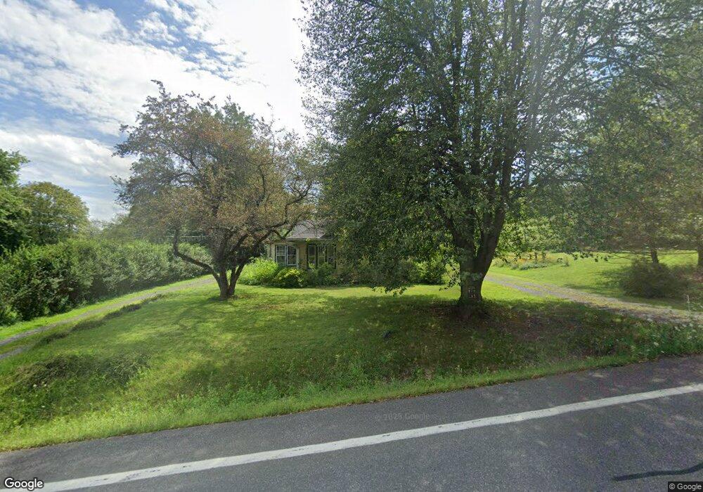
2360 State Route 82 Ancram, NY 12502
Estimated Value: $386,000 - $474,000
2
Beds
2
Baths
992
Sq Ft
$422/Sq Ft
Est. Value
About This Home
This home is located at 2360 State Route 82, Ancram, NY 12502 and is currently estimated at $419,110, approximately $422 per square foot. 2360 State Route 82 is a home located in Columbia County with nearby schools including Taconic Hills Elementary School and Taconic Hills Junior/Senior High School.
Ownership History
Date
Name
Owned For
Owner Type
Purchase Details
Closed on
Feb 13, 2020
Sold by
Fultz Gerald F
Bought by
Tirone Santina
Current Estimated Value
Purchase Details
Closed on
Jul 21, 2011
Sold by
Cloos Hilary
Bought by
Fultz Gerald F
Home Financials for this Owner
Home Financials are based on the most recent Mortgage that was taken out on this home.
Original Mortgage
$140,000
Interest Rate
4.49%
Mortgage Type
Purchase Money Mortgage
Purchase Details
Closed on
Nov 3, 2001
Sold by
Rodin Christine
Bought by
Cloos Hillary
Create a Home Valuation Report for This Property
The Home Valuation Report is an in-depth analysis detailing your home's value as well as a comparison with similar homes in the area
Home Values in the Area
Average Home Value in this Area
Purchase History
| Date | Buyer | Sale Price | Title Company |
|---|---|---|---|
| Tirone Santina | $215,000 | None Available | |
| Fultz Gerald F | $175,000 | Virginia D Benedict | |
| Cloos Hillary | $135,000 | Scott Shallo |
Source: Public Records
Mortgage History
| Date | Status | Borrower | Loan Amount |
|---|---|---|---|
| Previous Owner | Fultz Gerald F | $140,000 |
Source: Public Records
Tax History Compared to Growth
Tax History
| Year | Tax Paid | Tax Assessment Tax Assessment Total Assessment is a certain percentage of the fair market value that is determined by local assessors to be the total taxable value of land and additions on the property. | Land | Improvement |
|---|---|---|---|---|
| 2024 | $3,622 | $284,000 | $94,600 | $189,400 |
| 2023 | $3,770 | $284,000 | $94,600 | $189,400 |
| 2022 | $3,649 | $175,000 | $93,300 | $81,700 |
| 2021 | $3,694 | $175,000 | $93,300 | $81,700 |
| 2020 | $3,295 | $175,000 | $93,300 | $81,700 |
| 2019 | $2,260 | $175,000 | $93,300 | $81,700 |
| 2018 | $2,260 | $175,000 | $93,300 | $81,700 |
| 2017 | $2,372 | $175,000 | $93,300 | $81,700 |
| 2016 | $2,454 | $175,000 | $93,300 | $81,700 |
| 2015 | -- | $167,974 | $79,600 | $88,374 |
| 2014 | -- | $167,974 | $79,600 | $88,374 |
Source: Public Records
Map
Nearby Homes
- 1301 County Route 7
- 2934 County Route 7
- 0 New York 82
- 1391 County Route 7
- 2457 State Route 82
- 2456 New York 82
- 0 County Route 7 Unit 20252252
- 0 County Route 7 Unit KEYH6308186
- 0 County Route 7 Unit 20252251
- 0 County Route 7 Unit 152778
- 255 Mill Hill Rd
- 225 Simons Rd
- 420 Roche Dr
- 284 Hall Hill Rd
- 91 Decker Rd
- 0 Westfall Rd Unit 154554
- 0 Westfall Rd
- 1745 County Route 7
- 65 Tims Rd
- 1820 County Route 7
- 2360 Ny-82 --
- 2360 New York 82
- 2349 State Route 82
- 2355 State Route 82
- 2349 New York 82
- 1291 County Route 7
- 2345 State Route 82
- 2380 State Route 82
- 2385 State Route 82
- 2339 New York 82
- 2339A Ny-82 --
- 2349 County Route 7
- 2385 County Route 7
- 2399 County Route 7
- 1295 County Route 7
- 1283 County Route 7
- 1292 County Route 7
- 1292 County Road 7
- 2387 State Route 82
- 2387 New York 82