23608 NE 172nd St Kearney, MO 64060
Estimated Value: $389,000 - $575,431
3
Beds
2
Baths
1,520
Sq Ft
$308/Sq Ft
Est. Value
About This Home
This home is located at 23608 NE 172nd St, Kearney, MO 64060 and is currently estimated at $468,144, approximately $307 per square foot. 23608 NE 172nd St is a home located in Clay County with nearby schools including Kearney Junior High School and Kearney High School.
Ownership History
Date
Name
Owned For
Owner Type
Purchase Details
Closed on
Dec 21, 2022
Sold by
Gorham James and Gorham Miranda
Bought by
Glenwood Equities Llc
Current Estimated Value
Purchase Details
Closed on
May 17, 2016
Sold by
Lawson Gary and Lawson Martha C
Bought by
Riley Christopher Ray and Riley Misty Ann
Purchase Details
Closed on
Aug 28, 2002
Sold by
Wiemar Sandra F
Bought by
Lawson Gary and Lawson Martha C
Home Financials for this Owner
Home Financials are based on the most recent Mortgage that was taken out on this home.
Original Mortgage
$237,205
Interest Rate
6.47%
Create a Home Valuation Report for This Property
The Home Valuation Report is an in-depth analysis detailing your home's value as well as a comparison with similar homes in the area
Home Values in the Area
Average Home Value in this Area
Purchase History
| Date | Buyer | Sale Price | Title Company |
|---|---|---|---|
| Glenwood Equities Llc | -- | Thomson Affinity Title | |
| Riley Christopher Ray | -- | Thomson Affinity Title Llc | |
| Lawson Gary | -- | United Title Company Inc |
Source: Public Records
Mortgage History
| Date | Status | Borrower | Loan Amount |
|---|---|---|---|
| Previous Owner | Lawson Gary | $237,205 |
Source: Public Records
Tax History Compared to Growth
Tax History
| Year | Tax Paid | Tax Assessment Tax Assessment Total Assessment is a certain percentage of the fair market value that is determined by local assessors to be the total taxable value of land and additions on the property. | Land | Improvement |
|---|---|---|---|---|
| 2025 | $3,237 | $55,620 | -- | -- |
| 2024 | $3,237 | $51,160 | -- | -- |
| 2023 | $3,225 | $51,160 | $0 | $0 |
| 2022 | $3,021 | $46,410 | $0 | $0 |
| 2021 | $2,956 | $48,906 | $7,353 | $41,553 |
| 2020 | $3,021 | $43,090 | $0 | $0 |
| 2019 | $3,003 | $43,090 | $0 | $0 |
| 2018 | $3,000 | $41,590 | $0 | $0 |
| 2017 | $2,964 | $41,580 | $7,090 | $34,490 |
| 2016 | $2,964 | $41,580 | $7,090 | $34,490 |
| 2015 | $2,964 | $41,580 | $7,090 | $34,490 |
| 2014 | $2,864 | $39,970 | $7,070 | $32,900 |
Source: Public Records
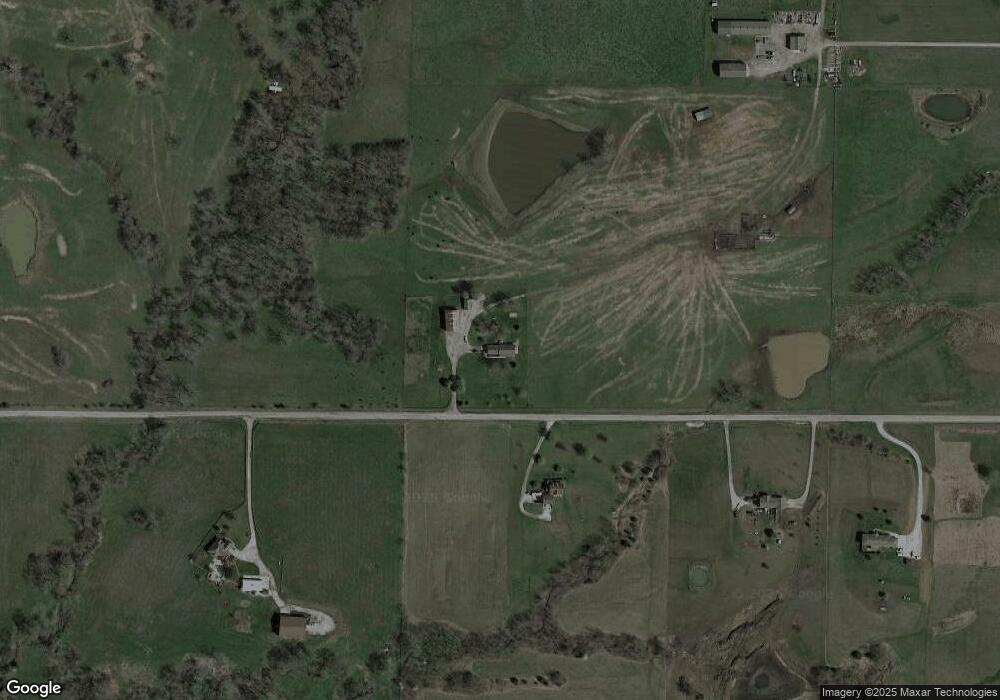
Map
Nearby Homes
- 25607 High Dr
- Lot 10 188th St & Downing Rd
- 15617 Oakmont Dr
- 19319 Old Bb
- 16211 Dr
- 16210 Baxter Rd
- 16115 Kountry Ridge Dr
- 21619 NE 150th St
- 15025 Jesse James Farm Rd
- 18301 N 69th Hwy
- 1724 Aspen Ln
- 19412 Shanks Rd
- 610 E Porter Ridge Ct
- 1606 Lynn Rd
- 2006 E Norma Ct
- 1300 Melissa Ct
- 1210 E 15th St
- 1302 Melissa Ct
- 1043 E 14th St
- 16605 Cc Hwy
- 23615 NE 172nd St
- 23415 NE 172nd St
- 24005 NE 172nd St
- 24201 NE 172nd St
- 23006 NE 172nd St
- 23006 NE 172nd St
- 17104 Endicott Rd
- 17308 Endicott Rd
- 24200 NE 172nd St
- 17222 Endicott Rd
- 17010 Endicott Rd
- 17602 Sycamore Cir
- 17604 Sycamore Cir
- 0 N Endicott N A Unit 1993239
- 0 Lot 4 Endicott Rd Unit 2020115
- 17320 Endicott Rd
- 17215 Endicott Rd
- 17404 Endicott Rd
- 17301 Endicott Rd
- 17526 Endicott Rd