2361 Muleshoe Ln Corvallis, MT 59828
Estimated Value: $454,000 - $761,883
2
Beds
2
Baths
1,728
Sq Ft
$355/Sq Ft
Est. Value
About This Home
This home is located at 2361 Muleshoe Ln, Corvallis, MT 59828 and is currently estimated at $613,721, approximately $355 per square foot. 2361 Muleshoe Ln is a home located in Ravalli County with nearby schools including Victor Elementary School and Victor High School.
Ownership History
Date
Name
Owned For
Owner Type
Purchase Details
Closed on
Apr 29, 2016
Sold by
Davis Daniel J
Bought by
Cassens Kay
Current Estimated Value
Purchase Details
Closed on
Jul 10, 2008
Bought by
Davis Daniel J
Create a Home Valuation Report for This Property
The Home Valuation Report is an in-depth analysis detailing your home's value as well as a comparison with similar homes in the area
Home Values in the Area
Average Home Value in this Area
Purchase History
| Date | Buyer | Sale Price | Title Company |
|---|---|---|---|
| Cassens Kay | -- | Commonwealth Land Title Ins | |
| Davis Daniel J | -- | -- |
Source: Public Records
Tax History Compared to Growth
Tax History
| Year | Tax Paid | Tax Assessment Tax Assessment Total Assessment is a certain percentage of the fair market value that is determined by local assessors to be the total taxable value of land and additions on the property. | Land | Improvement |
|---|---|---|---|---|
| 2025 | $1,518 | $457,335 | $0 | $0 |
| 2024 | $2,097 | $378,905 | $0 | $0 |
| 2023 | $2,104 | $378,905 | $0 | $0 |
| 2022 | $1,844 | $269,335 | $0 | $0 |
| 2021 | $2,001 | $269,335 | $0 | $0 |
| 2020 | $1,779 | $227,568 | $0 | $0 |
| 2019 | $1,763 | $227,568 | $0 | $0 |
| 2018 | $1,564 | $210,897 | $0 | $0 |
| 2017 | $1,545 | $210,897 | $0 | $0 |
| 2016 | $1,478 | $190,455 | $0 | $0 |
| 2015 | $1,483 | $190,455 | $0 | $0 |
| 2014 | $1,890 | $144,900 | $0 | $0 |
Source: Public Records
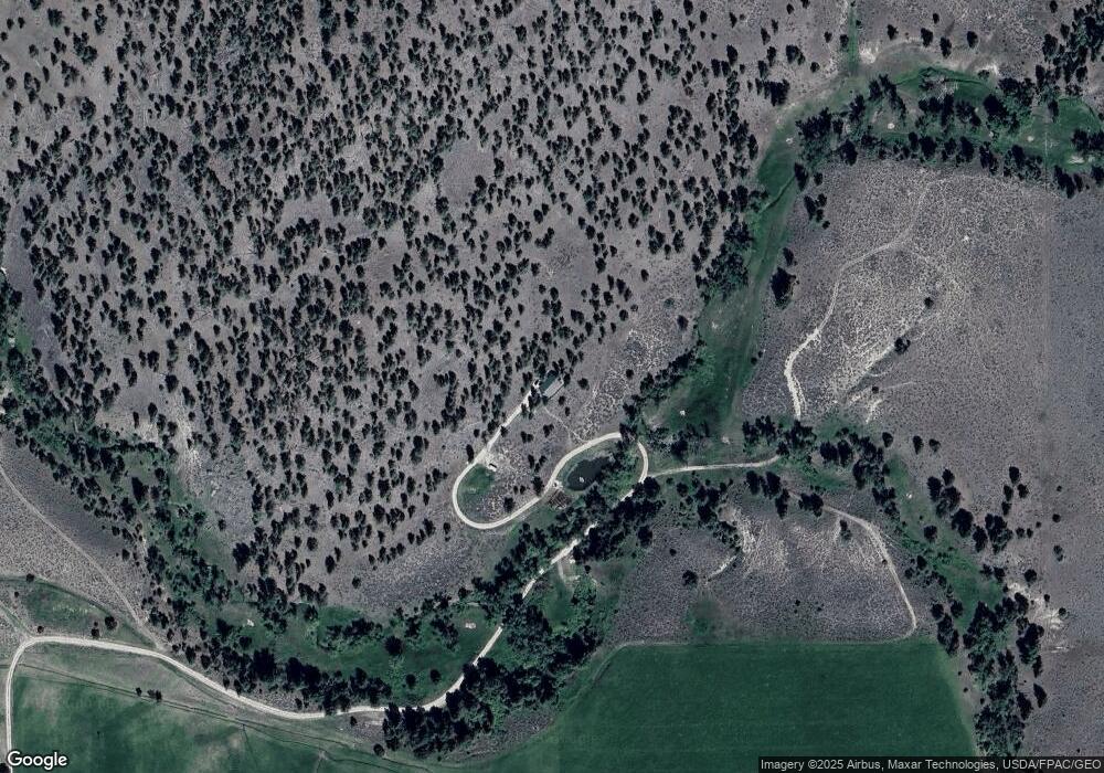
Map
Nearby Homes
- 605 Groff Ln
- 633 Groff Ln
- 1013 Majestic Pine Place
- 843 Lecoure Ln
- 770 Coyote Creek Dr
- 2837 Caribou Ln
- 1848 Mountain View Orchard Rd
- NHN Sutherland Ln
- 1898 Buxadoodal Way
- 2813 Pine Lakes Ct
- 1130 Hegson Dr
- 763 S Sunset Bench Rd
- 1729 Avalon Ridge Way
- 125 Pine Dr
- 470 Double d Rd
- 1741 Sutherland Ln
- 1638 Michaels Way
- 231 Silverbow Dr
- 878 S Sunset Bench Rd
- 561 Double d Rd