2361 Rocky Fork Rd Nolensville, TN 37135
Estimated Value: $544,000 - $870,000
--
Bed
2
Baths
2,023
Sq Ft
$376/Sq Ft
Est. Value
About This Home
This home is located at 2361 Rocky Fork Rd, Nolensville, TN 37135 and is currently estimated at $761,158, approximately $376 per square foot. 2361 Rocky Fork Rd is a home located in Williamson County with nearby schools including Nolensville Elementary School, Mill Creek Middle School, and Nolensville High School.
Ownership History
Date
Name
Owned For
Owner Type
Purchase Details
Closed on
Apr 13, 2019
Sold by
Owen Miriam A
Bought by
Owen Miriam A and The Miriam A Owen Revocable Tr
Current Estimated Value
Purchase Details
Closed on
May 5, 2007
Sold by
Owen Barry L
Bought by
Owen Miriam A
Purchase Details
Closed on
Sep 30, 1998
Sold by
Oliver James O and Oliver Nancy C
Bought by
Owen Barry L and Owen Miriam A
Home Financials for this Owner
Home Financials are based on the most recent Mortgage that was taken out on this home.
Original Mortgage
$121,600
Interest Rate
6.96%
Create a Home Valuation Report for This Property
The Home Valuation Report is an in-depth analysis detailing your home's value as well as a comparison with similar homes in the area
Home Values in the Area
Average Home Value in this Area
Purchase History
| Date | Buyer | Sale Price | Title Company |
|---|---|---|---|
| Owen Miriam A | -- | None Available | |
| Owen Miriam A | -- | None Available | |
| Owen Barry L | $152,000 | Guaranty Title |
Source: Public Records
Mortgage History
| Date | Status | Borrower | Loan Amount |
|---|---|---|---|
| Previous Owner | Owen Barry L | $121,600 |
Source: Public Records
Tax History Compared to Growth
Tax History
| Year | Tax Paid | Tax Assessment Tax Assessment Total Assessment is a certain percentage of the fair market value that is determined by local assessors to be the total taxable value of land and additions on the property. | Land | Improvement |
|---|---|---|---|---|
| 2025 | $2,595 | $252,575 | $191,225 | $61,350 |
| 2024 | $2,595 | $119,550 | $75,925 | $43,625 |
| 2023 | $2,595 | $119,550 | $75,925 | $43,625 |
| 2022 | $2,595 | $119,550 | $75,925 | $43,625 |
| 2021 | $2,595 | $119,550 | $75,925 | $43,625 |
| 2020 | $2,149 | $85,625 | $45,000 | $40,625 |
| 2019 | $2,029 | $85,625 | $45,000 | $40,625 |
| 2018 | $1,969 | $85,625 | $45,000 | $40,625 |
| 2017 | $1,952 | $85,625 | $45,000 | $40,625 |
| 2016 | $1,926 | $85,625 | $45,000 | $40,625 |
| 2015 | -- | $65,400 | $34,600 | $30,800 |
| 2014 | -- | $65,400 | $34,600 | $30,800 |
Source: Public Records
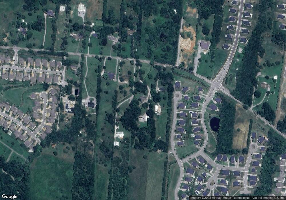
Map
Nearby Homes
- 0 Rocky Fork Rd
- 1005 Kirkpark Ct
- 1117 Millshed Dr
- 842 Nolenmeade Place
- 1114 Crossfield Dr
- 904 Inglenook Ct
- 3186 Bradfield Dr
- 1049 Kirkpark Ct
- 3231 Bradfield Dr
- 3236 Bradfield Dr
- 3136 Bradfield Dr
- 4604 Robin Ln
- 4601 Robin Ln
- 3025 Ash Dale Ln
- 3051 Ash Dale Ln
- 3019 Ash Dale Ln
- 3027 Ash Dale Ln
- 1525 Halsey Dr
- 825 Piccadilly Dr
- 3009 Canal St
- 1081 Whittmore Dr
- 2365 Rocky Fork Rd
- 721 Harper's Hill Rd
- 2357 Rocky Fork Rd
- 23 Crossfield Dr
- 20 Whittmore Dr
- 1023 Crossfield Dr
- 720 Harper's Hill Rd
- 1035 Crossfield Dr
- 2353 Rocky Fork Rd
- 1039 Crossfield Dr
- 1031 Crossfield Dr
- 1027 Crossfield Dr
- 1043 Crossfield Dr
- 1047 Crossfield Dr
- 910 Whittmore Dr
- 914 Whittmore Dr
- 1051 Crossfield Dr
- 906 Whittmore Dr
- 906 Whittmore Dr Unit 2