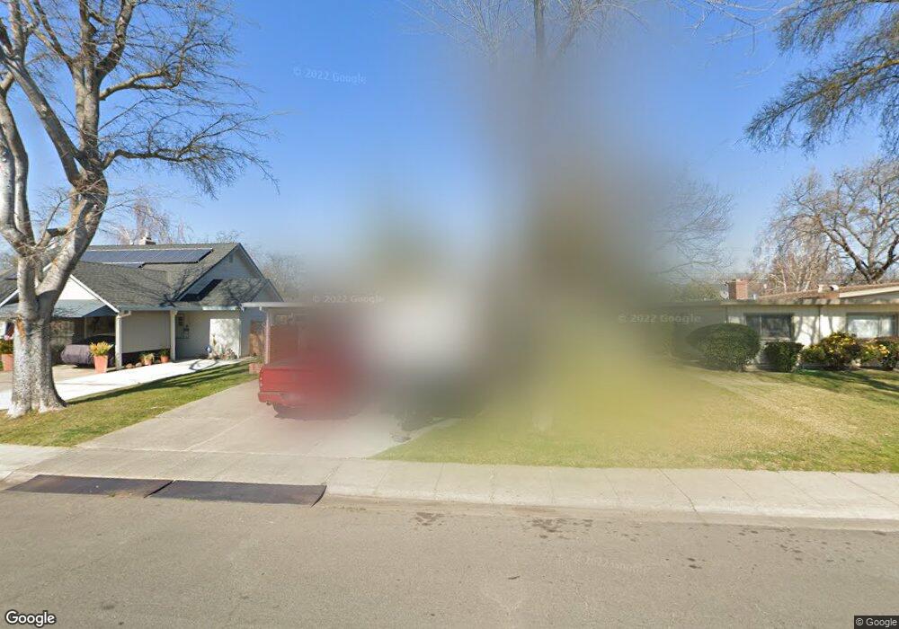
2363 Polk Way Unit 18 Stockton, CA 95207
Lincoln Village NeighborhoodEstimated Value: $282,000 - $424,000
3
Beds
1
Bath
1,254
Sq Ft
$293/Sq Ft
Est. Value
About This Home
This home is located at 2363 Polk Way Unit 18, Stockton, CA 95207 and is currently estimated at $367,787, approximately $293 per square foot. 2363 Polk Way Unit 18 is a home located in San Joaquin County with nearby schools including Tully C. Knoles School, Sierra Middle School, and Lincoln High School.
Ownership History
Date
Name
Owned For
Owner Type
Purchase Details
Closed on
Oct 27, 2016
Sold by
Yakulis Lorrie J
Bought by
Yakulis Lorrie J and The Lorrie J Yakulis Living Tr
Current Estimated Value
Purchase Details
Closed on
Sep 12, 1994
Sold by
Balcao Leonard J and Balcao Linda J
Bought by
Yakulis Lorrie J
Home Financials for this Owner
Home Financials are based on the most recent Mortgage that was taken out on this home.
Original Mortgage
$101,050
Interest Rate
8.61%
Create a Home Valuation Report for This Property
The Home Valuation Report is an in-depth analysis detailing your home's value as well as a comparison with similar homes in the area
Home Values in the Area
Average Home Value in this Area
Purchase History
| Date | Buyer | Sale Price | Title Company |
|---|---|---|---|
| Yakulis Lorrie J | -- | None Available | |
| Yakulis Lorrie J | $106,500 | Chicago Title Company |
Source: Public Records
Mortgage History
| Date | Status | Borrower | Loan Amount |
|---|---|---|---|
| Closed | Yakulis Lorrie J | $101,050 |
Source: Public Records
Tax History Compared to Growth
Tax History
| Year | Tax Paid | Tax Assessment Tax Assessment Total Assessment is a certain percentage of the fair market value that is determined by local assessors to be the total taxable value of land and additions on the property. | Land | Improvement |
|---|---|---|---|---|
| 2025 | $4,123 | $178,694 | $67,178 | $111,516 |
| 2024 | $3,992 | $175,191 | $65,861 | $109,330 |
| 2023 | $3,897 | $171,757 | $64,570 | $107,187 |
| 2022 | $3,719 | $168,390 | $63,304 | $105,086 |
| 2021 | $3,652 | $165,089 | $62,063 | $103,026 |
| 2020 | $3,617 | $163,397 | $61,427 | $101,970 |
| 2019 | $3,587 | $160,194 | $60,223 | $99,971 |
| 2018 | $3,503 | $157,054 | $59,043 | $98,011 |
| 2017 | $3,464 | $153,976 | $57,886 | $96,090 |
| 2016 | $3,197 | $150,957 | $56,751 | $94,206 |
| 2014 | $3,185 | $140,000 | $42,000 | $98,000 |
Source: Public Records
Map
Nearby Homes
- 2447 Calhoun Way
- 2252 W Benjamin Holt Dr
- 2039 W Benjamin Holt Dr
- 2014 Douglas Rd
- 2252 Canyon Creek Dr
- 1864 Polk Way
- 2914 Prentiss Ct
- 1860 Douglas Rd
- 1929 W Swain Rd
- 6415 Plymouth Rd
- 2922 Prentiss Ct
- 2935 Prentiss Ct Unit 1844
- 2921 Rutledge Ct
- 2128 Canyon Creek Dr
- 1703 Polk Way
- 2009 Cedar Ridge Dr
- 2005 Cedar Ridge Dr
- 2421 Meadow Lake Dr
- 1707 W Swain Rd Unit 5
- 1720 Mcclellan Way
- 2353 Polk Way
- 2403 Polk Way
- 2366 Calhoun Way
- 2345 Polk Way
- 2413 Polk Way
- 2354 Calhoun Way
- 2406 Calhoun Way
- 2362 Polk Way
- 2402 Polk Way
- 2402 W Polk Way
- 2335 Polk Way
- 2423 Polk Way
- 2352 W Polk Way
- 2342 Calhoun Way
- 2352 Polk Way
- 2412 Polk Way
- 2418 Calhoun Way
- 2335 W Polk Way
- 2344 Polk Way
- 2422 Polk Way Unit 18