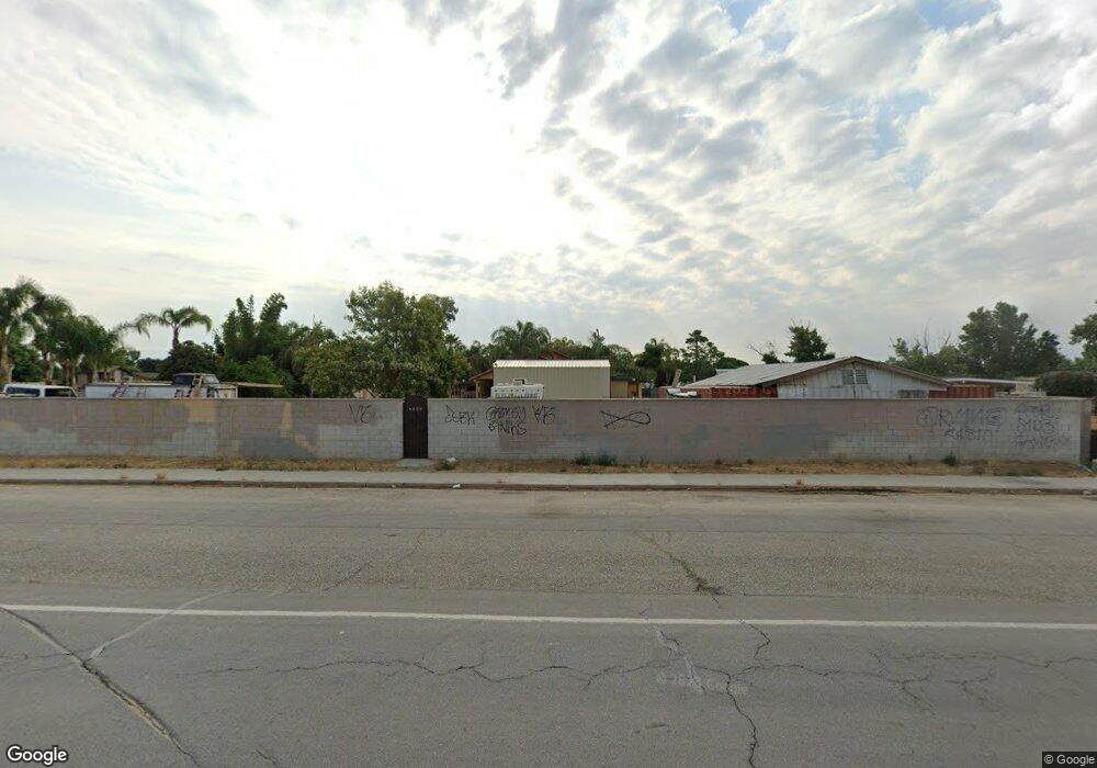
2363 Weedpatch Hwy Unit A Bakersfield, CA 93307
Estimated Value: $458,000 - $528,725
5
Beds
3
Baths
2,132
Sq Ft
$233/Sq Ft
Est. Value
About This Home
This home is located at 2363 Weedpatch Hwy Unit A, Bakersfield, CA 93307 and is currently estimated at $496,181, approximately $232 per square foot. 2363 Weedpatch Hwy Unit A is a home located in Kern County with nearby schools including Shirley Lane Elementary School, Virginia Avenue Elementary School, and Fairfax Middle School.
Ownership History
Date
Name
Owned For
Owner Type
Purchase Details
Closed on
Sep 20, 2024
Sold by
Arellano Salvador and Perez Salvador Arellano
Bought by
Arellano Perez Salvador
Current Estimated Value
Home Financials for this Owner
Home Financials are based on the most recent Mortgage that was taken out on this home.
Original Mortgage
$110,000
Outstanding Balance
$108,699
Interest Rate
6.2%
Mortgage Type
Credit Line Revolving
Estimated Equity
$387,482
Create a Home Valuation Report for This Property
The Home Valuation Report is an in-depth analysis detailing your home's value as well as a comparison with similar homes in the area
Purchase History
| Date | Buyer | Sale Price | Title Company |
|---|---|---|---|
| Arellano Perez Salvador | -- | Wfg National Title |
Source: Public Records
Mortgage History
| Date | Status | Borrower | Loan Amount |
|---|---|---|---|
| Open | Arellano Perez Salvador | $110,000 |
Source: Public Records
Tax History
| Year | Tax Paid | Tax Assessment Tax Assessment Total Assessment is a certain percentage of the fair market value that is determined by local assessors to be the total taxable value of land and additions on the property. | Land | Improvement |
|---|---|---|---|---|
| 2025 | $3,603 | $384,537 | $24,414 | $360,123 |
| 2024 | $3,476 | $249,547 | $23,936 | $225,611 |
| 2023 | $3,476 | $244,655 | $23,467 | $221,188 |
| 2022 | $3,365 | $239,859 | $23,007 | $216,852 |
| 2021 | $3,250 | $235,157 | $22,556 | $212,601 |
| 2020 | $3,147 | $232,747 | $22,325 | $210,422 |
| 2019 | $3,090 | $232,747 | $22,325 | $210,422 |
| 2018 | $3,072 | $223,712 | $21,459 | $202,253 |
| 2017 | $3,034 | $219,328 | $21,039 | $198,289 |
| 2016 | $2,778 | $215,029 | $20,627 | $194,402 |
| 2015 | $2,771 | $211,801 | $20,318 | $191,483 |
| 2014 | $2,714 | $207,653 | $19,920 | $187,733 |
Source: Public Records
Map
Nearby Homes
- 2351 Emmy Dr
- 8400 E Wilson Rd
- 8116 Halleluiah St
- 7601 Redbank Rd
- 8447 Muller Rd
- 8802 Almata Ave
- 8603 Almata Ave
- 0 Nanak Rd
- 8324 Georgetown Dr Unit 2027
- 8311 Morehouse Ave Unit 2042A
- 8303 Morehouse Ave Unit 2041A
- 8240 Morehouse Ave
- 8240 Morehouse Ave Unit 2031A
- 8229 Morehouse Ave Unit 2038A
- 8228 Morehouse Ave Unit 2033A
- 8223 Morehouse Ave
- 8223 Morehouse Ave Unit 2037A
- 8216 Morehouse Ave
- 8216 Morehouse Ave Unit 2035A
- 8203 Tydeman Dr
- 2350 Weedpatch Hwy
- 2501 Weedpatch Hwy
- 2505 Weedpatch Hwy
- 2509 Weedpatch Hwy
- 8227 E Wilson Rd
- 2317 Emmy Dr
- 2301 Emmy Dr
- 8247 E Wilson Rd
- 8301 Big Al Ave
- 8131 Bengston Ave
- 2615 Weedpatch Hwy
- 8300 E Wilson Rd
- 8300 Big Al Ave
- 8331 Big Al Ave
- 8330 E Wilson Rd
- 8112 Prata Ave
- 8120 Prata Ave
- 8200 Prata Ave
- 8218 Prata Ave
- 8301 Bengston Ave
Your Personal Tour Guide
Ask me questions while you tour the home.