23649 Cedar Grove Rd Unit 5 Springdale, AR 72764
Estimated Value: $248,000 - $453,000
2
Beds
2
Baths
1,435
Sq Ft
$233/Sq Ft
Est. Value
About This Home
This home is located at 23649 Cedar Grove Rd Unit 5, Springdale, AR 72764 and is currently estimated at $334,467, approximately $233 per square foot. 23649 Cedar Grove Rd Unit 5 is a home located in Washington County with nearby schools including Sonora Elementary School, Sonora Middle School, and Lakeside Junior High School.
Ownership History
Date
Name
Owned For
Owner Type
Purchase Details
Closed on
Sep 11, 2020
Sold by
Mpg Investment Properties Llc
Bought by
Jarratt Hugh M and Jarratt Nicole B
Current Estimated Value
Home Financials for this Owner
Home Financials are based on the most recent Mortgage that was taken out on this home.
Original Mortgage
$243,100
Outstanding Balance
$172,232
Interest Rate
2.9%
Mortgage Type
New Conventional
Estimated Equity
$162,235
Purchase Details
Closed on
Aug 29, 2007
Sold by
Arnold Christopher A and Arnold Kimberly Paige
Bought by
Weathers Tiffany N
Home Financials for this Owner
Home Financials are based on the most recent Mortgage that was taken out on this home.
Original Mortgage
$157,500
Interest Rate
6.72%
Mortgage Type
Purchase Money Mortgage
Purchase Details
Closed on
Mar 31, 2005
Sold by
Hometown Properties Ltd
Bought by
Arnold Christopher A and Arnold Kimberly Paige
Home Financials for this Owner
Home Financials are based on the most recent Mortgage that was taken out on this home.
Original Mortgage
$154,000
Interest Rate
5.75%
Mortgage Type
Purchase Money Mortgage
Create a Home Valuation Report for This Property
The Home Valuation Report is an in-depth analysis detailing your home's value as well as a comparison with similar homes in the area
Purchase History
| Date | Buyer | Sale Price | Title Company |
|---|---|---|---|
| Jarratt Hugh M | $286,000 | First National Title Co | |
| Weathers Tiffany N | $210,000 | Heritage Land Title Of Ar | |
| Arnold Christopher A | $193,000 | Heritage Land Title Of Ar |
Source: Public Records
Mortgage History
| Date | Status | Borrower | Loan Amount |
|---|---|---|---|
| Open | Jarratt Hugh M | $243,100 | |
| Previous Owner | Weathers Tiffany N | $157,500 | |
| Previous Owner | Arnold Christopher A | $154,000 | |
| Closed | Arnold Christopher A | $19,250 |
Source: Public Records
Tax History
| Year | Tax Paid | Tax Assessment Tax Assessment Total Assessment is a certain percentage of the fair market value that is determined by local assessors to be the total taxable value of land and additions on the property. | Land | Improvement |
|---|---|---|---|---|
| 2025 | $3,219 | $69,830 | $0 | $69,830 |
| 2024 | $3,210 | $69,830 | $0 | $69,830 |
| 2023 | $3,000 | $69,830 | $0 | $69,830 |
| 2022 | $2,767 | $58,020 | $0 | $58,020 |
| 2021 | $2,767 | $58,020 | $0 | $58,020 |
| 2020 | $2,180 | $58,020 | $0 | $58,020 |
| 2019 | $1,985 | $41,390 | $0 | $41,390 |
| 2018 | $1,925 | $41,390 | $0 | $41,390 |
| 2017 | $1,925 | $41,390 | $0 | $41,390 |
| 2016 | $1,965 | $41,390 | $0 | $41,390 |
| 2015 | $1,965 | $41,390 | $0 | $41,390 |
| 2014 | $1,995 | $42,040 | $0 | $42,040 |
Source: Public Records
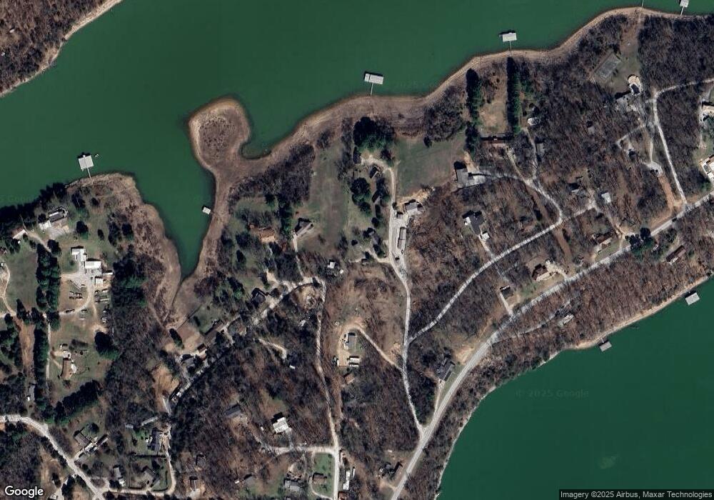
Map
Nearby Homes
- 23505 Lakeview Terrace
- 23513 Lakeview Terrace
- 18448 Grove Dr
- 12981 Recreation Dr
- 12743 Recreation Dr
- TBD Joy Loop
- 16774 Joy Loop
- 4.32 AC Barzel Point Rd
- TBD Delight Dr
- 0 44 Acres Ellenbarger Wc 516
- 22719 Raymond St
- 22631 Jennings Dr
- 19123 Hill Rd
- 14241 Horse Shoe Dr
- 14201 Horse Shoe Dr
- TBD Trammel Dr
- 22490 Derik Rd
- 12161 Shore Dr
- 15319 E Highway 264
- 22574 Abbeytown Rd
- 23649 Cedar Grove Rd
- 23649 Cedar Grove
- 23645 Cedar Grove Rd
- 23645 Cedar Grove
- 18698 Eagle Bend Rd
- 18682 Eagle Bend Rd
- 23651 Cedar Grove
- 23651 Cedar Grove Rd Unit 3
- 23612 Cedar Grove Rd
- 23573 Cedar Grove Rd
- 23657 Cedar Grove Rd Unit 2
- 23643 Cedar Grove
- 23573 Cedar Grove Wc 1047 Rd
- 23665 Cedar Grove Rd
- 18674 Eagle Bend Rd
- 18611 Cedar Grove
- 23573 Cedar Grove
- 18660 Eagle Bend Rd
- 18562 Cedar Grove
- 18642 Cedar Grove
Your Personal Tour Guide
Ask me questions while you tour the home.