2366 Pheasant Ridge St Umatilla, OR 97882
Estimated Value: $309,000 - $330,000
4
Beds
2
Baths
1,506
Sq Ft
$212/Sq Ft
Est. Value
About This Home
This home is located at 2366 Pheasant Ridge St, Umatilla, OR 97882 and is currently estimated at $319,753, approximately $212 per square foot. 2366 Pheasant Ridge St is a home located in Umatilla County with nearby schools including McNary Heights Elementary School, Clara Brownell Middle School, and Umatilla High School.
Ownership History
Date
Name
Owned For
Owner Type
Purchase Details
Closed on
Jan 24, 2022
Sold by
Freel Raymond C
Bought by
Freel Raymond Charles and Freel Stacy Lynn
Current Estimated Value
Home Financials for this Owner
Home Financials are based on the most recent Mortgage that was taken out on this home.
Original Mortgage
$212,000
Interest Rate
3.45%
Mortgage Type
New Conventional
Create a Home Valuation Report for This Property
The Home Valuation Report is an in-depth analysis detailing your home's value as well as a comparison with similar homes in the area
Home Values in the Area
Average Home Value in this Area
Purchase History
| Date | Buyer | Sale Price | Title Company |
|---|---|---|---|
| Freel Raymond Charles | -- | Pioneer Title |
Source: Public Records
Mortgage History
| Date | Status | Borrower | Loan Amount |
|---|---|---|---|
| Closed | Freel Raymond Charles | $212,000 |
Source: Public Records
Tax History Compared to Growth
Tax History
| Year | Tax Paid | Tax Assessment Tax Assessment Total Assessment is a certain percentage of the fair market value that is determined by local assessors to be the total taxable value of land and additions on the property. | Land | Improvement |
|---|---|---|---|---|
| 2024 | $2,434 | $148,290 | $35,920 | $112,370 |
| 2023 | $2,337 | $143,980 | $34,870 | $109,110 |
| 2022 | $2,116 | $139,790 | $0 | $0 |
| 2021 | $2,080 | $135,720 | $32,870 | $102,850 |
| 2020 | $1,929 | $131,770 | $31,910 | $99,860 |
| 2018 | $2,007 | $124,220 | $30,080 | $94,140 |
| 2017 | $1,980 | $120,610 | $29,210 | $91,400 |
| 2016 | $1,969 | $117,100 | $28,360 | $88,740 |
| 2015 | $1,922 | $107,170 | $25,960 | $81,210 |
| 2014 | $1,892 | $107,170 | $25,960 | $81,210 |
Source: Public Records
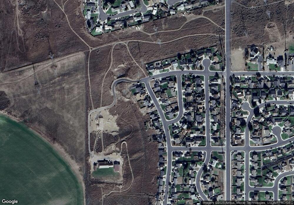
Map
Nearby Homes
- 245 Chukar Cir
- 411 Bobwhite Ave
- 25 Roosevelt Ave Unit 12
- 0000 Roosevelt St Unit 7
- 1690 Hayes St Unit 32
- 431 Riley Ave
- 1635 Hayes St
- 370 Monroe St
- 110 Truman Ave
- 55 Truman Ave
- 225 Truman Dr
- 000 Jackson St
- 175 Truman Dr
- 131 Michelle Ave
- 0 5n2820-00-02205 Unit 637599873
- 107 Michelle Ave
- 546 Taft St
- 578 Taft St
- 497 Taft St
- 513 Taft St
- 2388 Pheasant Ridge St
- 2344 Pheasant Ridge St
- 2322 Pheasant Ridge St
- 2422 Pheasant Ridge St
- 2355 Pheasant Ridge St
- 144 Pine Tree Ave
- 2444 Pheasant Ridge St
- 2377 Pheasant Ridge St
- 2433 Pheasant Ridge St
- 166 Pine Tree Ave
- 2466 Pheasant Ridge St
- 2460 Blue Bird Dr
- 2364 Blue Bird Dr
- 111 Pine Tree Ave
- 0 Pine Tree (Parcel 2) Ave
- 0 No Situs Address Unit 20482612
- 0 No Situs Address Unit 20124281
- 2488 Pheasant Ridge St
- 2477 Blue Bird Dr