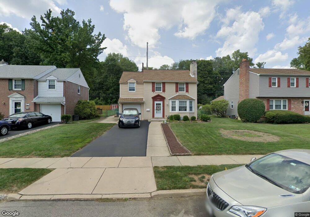
2367 Secane Rd Secane, PA 19018
Estimated Value: $405,933 - $436,000
3
Beds
3
Baths
1,951
Sq Ft
$213/Sq Ft
Est. Value
About This Home
This home is located at 2367 Secane Rd, Secane, PA 19018 and is currently estimated at $414,983, approximately $212 per square foot. 2367 Secane Rd is a home located in Delaware County with nearby schools including Amosland El School, Ridley Middle School, and Ridley High School.
Ownership History
Date
Name
Owned For
Owner Type
Purchase Details
Closed on
Apr 2, 2004
Sold by
Mcgrenra Catherine C
Bought by
Mcgrenra Catherine and Mcgrenra James
Current Estimated Value
Purchase Details
Closed on
Sep 14, 2002
Sold by
Mcgrenra James and Mcgrenra Catherine C
Bought by
Mcgrenra Catherine C
Purchase Details
Closed on
Oct 21, 1994
Sold by
Manley Brenda R
Bought by
Mcgrenra James and Mcgrenra Catherine C
Home Financials for this Owner
Home Financials are based on the most recent Mortgage that was taken out on this home.
Original Mortgage
$135,850
Interest Rate
8.65%
Mortgage Type
Purchase Money Mortgage
Purchase Details
Closed on
Nov 15, 1993
Sold by
Manley Edward P and Manley Brenda R
Bought by
Manley Brenda R
Home Financials for this Owner
Home Financials are based on the most recent Mortgage that was taken out on this home.
Original Mortgage
$101,000
Interest Rate
6.51%
Mortgage Type
Purchase Money Mortgage
Create a Home Valuation Report for This Property
The Home Valuation Report is an in-depth analysis detailing your home's value as well as a comparison with similar homes in the area
Home Values in the Area
Average Home Value in this Area
Purchase History
| Date | Buyer | Sale Price | Title Company |
|---|---|---|---|
| Mcgrenra Catherine | -- | -- | |
| Mcgrenra Catherine C | -- | -- | |
| Mcgrenra James | $143,000 | -- | |
| Manley Brenda R | -- | -- |
Source: Public Records
Mortgage History
| Date | Status | Borrower | Loan Amount |
|---|---|---|---|
| Closed | Mcgrenra James | $135,850 | |
| Previous Owner | Manley Brenda R | $101,000 |
Source: Public Records
Tax History
| Year | Tax Paid | Tax Assessment Tax Assessment Total Assessment is a certain percentage of the fair market value that is determined by local assessors to be the total taxable value of land and additions on the property. | Land | Improvement |
|---|---|---|---|---|
| 2025 | $8,056 | $232,020 | $66,260 | $165,760 |
| 2024 | $8,056 | $232,020 | $66,260 | $165,760 |
| 2023 | $7,706 | $232,020 | $66,260 | $165,760 |
| 2022 | $7,459 | $232,020 | $66,260 | $165,760 |
| 2021 | $11,546 | $232,020 | $66,260 | $165,760 |
| 2020 | $8,489 | $150,280 | $33,760 | $116,520 |
| 2019 | $8,334 | $150,280 | $33,760 | $116,520 |
| 2018 | $8,230 | $150,280 | $0 | $0 |
| 2017 | $8,230 | $150,280 | $0 | $0 |
| 2016 | $825 | $150,280 | $0 | $0 |
| 2015 | $842 | $150,280 | $0 | $0 |
| 2014 | $842 | $150,280 | $0 | $0 |
Source: Public Records
Map
Nearby Homes
- 2379 Mole Rd
- 880 Quaint St
- 846 Bobwhite Ln
- 202-203 Sycamore Ave
- 1022 Crozer Ln
- 2143 Haig Ave
- 804 South Ave Unit D7
- 826 South Ave Unit R8
- 1045 Edgerton Rd
- 1110 Wynnbrook Rd
- 978 Westfield Rd
- 111 Broad St
- 507 School St
- 838 West Ave
- 1102 Primos Ave
- 1240 Nicole Ln
- 1020 Edgerton Rd
- 1117 Tremont Dr
- 2158 6th Ave
- 21 Faraday Ct
Your Personal Tour Guide
Ask me questions while you tour the home.