23676 Mount Pleasant Landing Cir Saint Michaels, MD 21663
Estimated Value: $1,770,000 - $2,181,000
--
Bed
3
Baths
2,202
Sq Ft
$872/Sq Ft
Est. Value
About This Home
This home is located at 23676 Mount Pleasant Landing Cir, Saint Michaels, MD 21663 and is currently estimated at $1,920,324, approximately $872 per square foot. 23676 Mount Pleasant Landing Cir is a home located in Talbot County with nearby schools including St. Michaels Elementary School, St. Michaels Middle/High School, and Easton High School.
Ownership History
Date
Name
Owned For
Owner Type
Purchase Details
Closed on
Feb 21, 2002
Sold by
Bernstein Phyllis J
Bought by
Legg John C and Legg Ingeborg
Current Estimated Value
Purchase Details
Closed on
Sep 30, 1999
Sold by
Olszewski Alan M
Bought by
Bernstein Phyllis J
Purchase Details
Closed on
Aug 12, 1999
Sold by
Fisher Elizabeth S
Bought by
Olszewski Alan M
Create a Home Valuation Report for This Property
The Home Valuation Report is an in-depth analysis detailing your home's value as well as a comparison with similar homes in the area
Home Values in the Area
Average Home Value in this Area
Purchase History
| Date | Buyer | Sale Price | Title Company |
|---|---|---|---|
| Legg John C | $900,000 | -- | |
| Bernstein Phyllis J | $620,000 | -- | |
| Olszewski Alan M | $475,000 | -- |
Source: Public Records
Tax History Compared to Growth
Tax History
| Year | Tax Paid | Tax Assessment Tax Assessment Total Assessment is a certain percentage of the fair market value that is determined by local assessors to be the total taxable value of land and additions on the property. | Land | Improvement |
|---|---|---|---|---|
| 2025 | $5,276 | $1,239,500 | $800,000 | $439,500 |
| 2024 | $5,276 | $1,182,500 | $0 | $0 |
| 2023 | $4,955 | $1,125,500 | $0 | $0 |
| 2022 | $4,612 | $1,068,500 | $760,000 | $308,500 |
| 2021 | $4,341 | $1,046,000 | $0 | $0 |
| 2020 | $4,341 | $1,023,500 | $0 | $0 |
| 2019 | $4,316 | $1,001,000 | $700,000 | $301,000 |
| 2018 | $4,193 | $1,001,000 | $700,000 | $301,000 |
| 2017 | $4,018 | $1,001,000 | $0 | $0 |
| 2016 | $3,905 | $1,078,200 | $0 | $0 |
| 2015 | $3,546 | $1,078,200 | $0 | $0 |
| 2014 | $3,546 | $1,078,200 | $0 | $0 |
Source: Public Records
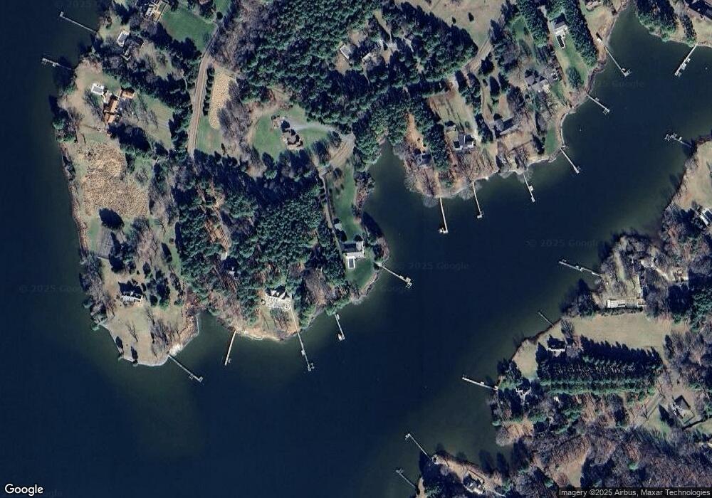
Map
Nearby Homes
- 23869 New Land Dr
- 8620 Bozman Neavitt Rd
- 23961 Lynnewood Dr
- 0 Bozman Neavitt Rd Unit MDTA2011976
- 8034 Bozman Neavitt Rd
- 24318 Oakwood Park Rd
- 216 Brooks Ln
- 7983 Bozman Neavitt Rd
- 0 Grace St Unit MDTA2012346
- 102 Gloria Ave
- 300 Perry St
- 24390 Oakwood Park Rd
- 209 Webb Ln
- 23857 Ebb Point Rd
- 207 Dodson Ave
- 408 Spinnaker Ln
- 100 Grace St
- 107 E Chestnut St
- 105 Seymour Ave
- 222 E Chestnut St
- 23682 Mount Pleasant Landing Cir
- 23686 Mount Pleasant Landing Cir
- 23672 Mount Pleasant Landing Cir
- 23675 Mnt Plsnt Lndng Cir
- 23690 Mount Pleasant Landing Cir
- 23668 Mount Pleasant Landing Cir
- 23668 Mount Pleasant Landing Cir
- 23696 Mt Pleasant Dr
- 23664 Mount Pleasant Landing Cir
- 23669 Mount Pleasant Landing Cir
- 23669 Mount Pleasant Landing Cir
- 23664 Mount Pleasant Landing Cir
- 23912 Mount Misery Rd
- 23916 Mount Misery Rd
- 23696 Mt Pleasant Landing Cir
- 23696 Mount Pleasant Landing Cir
- 0 Mt Pleasant Landing Cir Unit MDTA2002824
- 23658 Mount Pleasant Landing Cir
- 23658 Mount Pleasant Landing Cir
- 23901 Mount Misery Rd