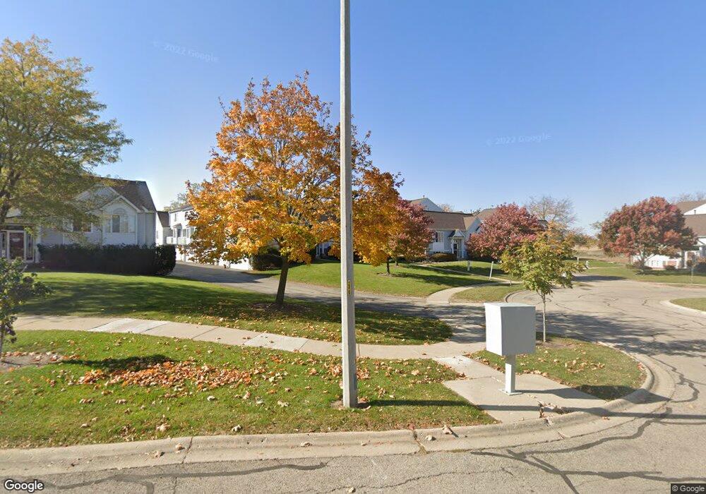
2368 Dawson Ln Unit 172 Algonquin, IL 60102
Estimated Value: $265,000 - $287,617
2
Beds
3
Baths
1,401
Sq Ft
$196/Sq Ft
Est. Value
About This Home
This home is located at 2368 Dawson Ln Unit 172, Algonquin, IL 60102 and is currently estimated at $274,654, approximately $196 per square foot. 2368 Dawson Ln Unit 172 is a home located in McHenry County with nearby schools including Westfield Community School, United Junior High School, and Harry D Jacobs High School.
Ownership History
Date
Name
Owned For
Owner Type
Purchase Details
Closed on
Nov 7, 2014
Sold by
Long Patricia
Bought by
Jimenez Arturo and Zamora Aysa
Current Estimated Value
Home Financials for this Owner
Home Financials are based on the most recent Mortgage that was taken out on this home.
Original Mortgage
$103,500
Outstanding Balance
$81,057
Interest Rate
4.62%
Mortgage Type
New Conventional
Estimated Equity
$193,597
Purchase Details
Closed on
Jul 23, 1996
Sold by
Pulte Home Corp
Bought by
Long John A and Long Patricia A
Home Financials for this Owner
Home Financials are based on the most recent Mortgage that was taken out on this home.
Original Mortgage
$32,000
Interest Rate
8.43%
Create a Home Valuation Report for This Property
The Home Valuation Report is an in-depth analysis detailing your home's value as well as a comparison with similar homes in the area
Home Values in the Area
Average Home Value in this Area
Purchase History
| Date | Buyer | Sale Price | Title Company |
|---|---|---|---|
| Jimenez Arturo | $115,000 | None Available | |
| Long John A | $134,000 | First American Title |
Source: Public Records
Mortgage History
| Date | Status | Borrower | Loan Amount |
|---|---|---|---|
| Open | Jimenez Arturo | $103,500 | |
| Previous Owner | Long John A | $32,000 |
Source: Public Records
Tax History Compared to Growth
Tax History
| Year | Tax Paid | Tax Assessment Tax Assessment Total Assessment is a certain percentage of the fair market value that is determined by local assessors to be the total taxable value of land and additions on the property. | Land | Improvement |
|---|---|---|---|---|
| 2024 | $4,044 | $67,692 | $14,040 | $53,652 |
| 2023 | $3,729 | $60,542 | $12,557 | $47,985 |
| 2022 | $4,265 | $60,734 | $11,160 | $49,574 |
| 2021 | $4,045 | $56,581 | $10,397 | $46,184 |
| 2020 | $3,913 | $54,578 | $10,029 | $44,549 |
| 2019 | $3,787 | $52,238 | $9,599 | $42,639 |
| 2018 | $3,551 | $48,256 | $8,867 | $39,389 |
| 2017 | $3,432 | $45,460 | $8,353 | $37,107 |
| 2016 | $3,327 | $42,637 | $7,834 | $34,803 |
| 2013 | -- | $44,777 | $7,308 | $37,469 |
Source: Public Records
Map
Nearby Homes
- 2235 Dawson Ln
- 2248 Dawson Ln Unit 272
- 661 Majestic Dr
- 741 Regal Ln
- 1820 Crofton Dr
- 2161 Burnham Ct
- 700 Fairfield Ln
- 2801 Waterfront Ave
- 000 County Line Rd
- 2601 Harnish Dr
- 601 Woods Creek Ln
- 2611 Harnish Dr
- DOVER Plan at Grand Reserve - Algonquin
- CLIFTON Plan at Grand Reserve - Algonquin
- 2631 Harnish Dr
- 2043 Peach Tree Ln Unit 4122
- 2101 Peach Tree Ln Unit 4094
- 1 Wander Way
- 2660 Harnish Dr
- 12 White Oak Ct
- 2366 Dawson Ln Unit 171
- 2370 Dawson Ln Unit 173
- 2372 Dawson Ln Unit 174
- 2374 Dawson Ln Unit 175
- 2376 Dawson Ln
- 2368 Dawson Ln Unit 2638
- 2358 Dawson Ln Unit 184
- 2362 Dawson Ln Unit 182
- 2360 Dawson Ln Unit 183
- 2356 Dawson Ln
- 2354 Dawson Ln Unit 186
- 2364 Dawson Ln
- 2396 Dawson Ln Unit 154
- 2388 Dawson Ln Unit 161
- 2382 Dawson Ln Unit 164
- 2378 Dawson Ln Unit 166
- 2384 Dawson Ln Unit 163
- 2380 Dawson Ln Unit 165
- 2392 Dawson Ln Unit 152
- 2394 Dawson Ln Unit 153