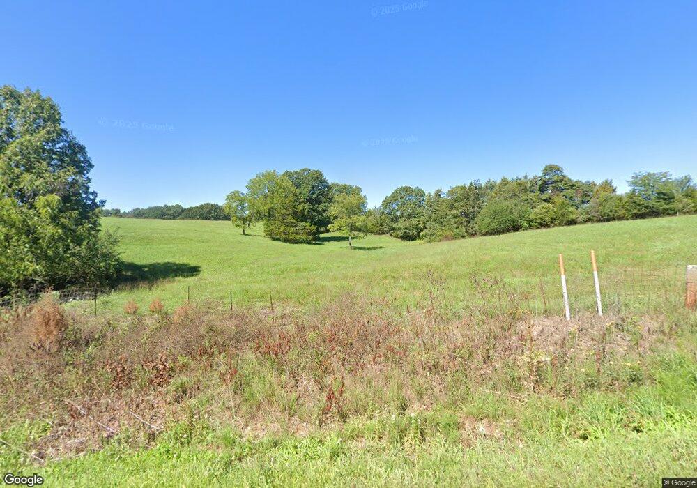
23688 Hwy 135 Stover, MI 65078
Estimated Value: $254,000 - $339,056
--
Bed
2
Baths
1,300
Sq Ft
$232/Sq Ft
Est. Value
About This Home
This home is located at 23688 Hwy 135, Stover, MI 65078 and is currently estimated at $302,019, approximately $232 per square foot. 23688 Hwy 135 is a home located in Morgan County with nearby schools including Morgan County R-I Elementary School and Morgan County R-I High School.
Ownership History
Date
Name
Owned For
Owner Type
Purchase Details
Closed on
May 21, 2024
Sold by
Gustafson Mark and Tubbin Kimberly
Bought by
Gustafson Mark
Current Estimated Value
Purchase Details
Closed on
Jan 26, 2021
Sold by
Gustafson Mark
Bought by
Gustafson Mark and Tubbin Kimberly
Create a Home Valuation Report for This Property
The Home Valuation Report is an in-depth analysis detailing your home's value as well as a comparison with similar homes in the area
Home Values in the Area
Average Home Value in this Area
Purchase History
| Date | Buyer | Sale Price | Title Company |
|---|---|---|---|
| Gustafson Mark | -- | None Listed On Document | |
| Gustafson Mark | -- | None Available | |
| Gustafson Mark | -- | None Available |
Source: Public Records
Tax History Compared to Growth
Tax History
| Year | Tax Paid | Tax Assessment Tax Assessment Total Assessment is a certain percentage of the fair market value that is determined by local assessors to be the total taxable value of land and additions on the property. | Land | Improvement |
|---|---|---|---|---|
| 2025 | $675 | $17,360 | $3,244 | $14,116 |
| 2024 | $675 | $15,720 | $2,978 | $12,742 |
| 2023 | $684 | $15,720 | $2,978 | $12,742 |
| 2022 | $686 | $15,720 | $3,144 | $12,576 |
| 2021 | $685 | $17,480 | $8,189 | $9,291 |
| 2020 | $632 | $16,055 | $7,429 | $8,626 |
| 2019 | $632 | $16,055 | $7,429 | $8,626 |
| 2018 | $673 | $14,880 | $0 | $0 |
| 2017 | $655 | $14,880 | $0 | $0 |
| 2016 | $648 | $14,690 | $0 | $0 |
| 2015 | $555 | $14,690 | $0 | $0 |
| 2013 | $555 | $14,640 | $0 | $0 |
Source: Public Records
Map
Nearby Homes
- 135 Hwy 135
- 22755 Friday Rd
- Saturday Rd
- TBD Saturday Rd
- 24560 Missouri 135
- 10.4 ac State Highway T
- 4714 Ponderosa Dr
- 5492 Black Elk Ln
- 4490 Ponderosa Dr
- 26049 Ivy Bend Rd
- 21074 Missouri 135
- 25440 Ed's Turn Rd
- 8960 White Tail Ridge
- 6908 Coon Club Rd Unit 3
- 6908 Coon Club Rd
- 6908 Coon Club Rd Unit Cabin 3
- 21132 Sawmill Rd
- 1427 Big Buffalo Rd
- TBD Little Buffalo Rd
- 28000 Ivy Bend Rd
- 23688 Highway 135
- 23688 Highway 135
- 23688 Missouri 135
- 23630 Missouri 135
- 000 Mccasland Rd
- 23630 Highway 135
- 23630 Highway 135
- 23290 Missouri 135
- 23290 Highway 135
- 23696 Highway 135
- 23696 Highway 135
- 23664 Highway 135
- 23262 Highway 135
- 23262 Highway 135
- 23262 Hwy 135
- 23750 Highway 135
- 23750 Highway 135
- 23690 Highway 135
- 27025 Big Buffalo Rd
- 25702 Big Buffalo Rd
