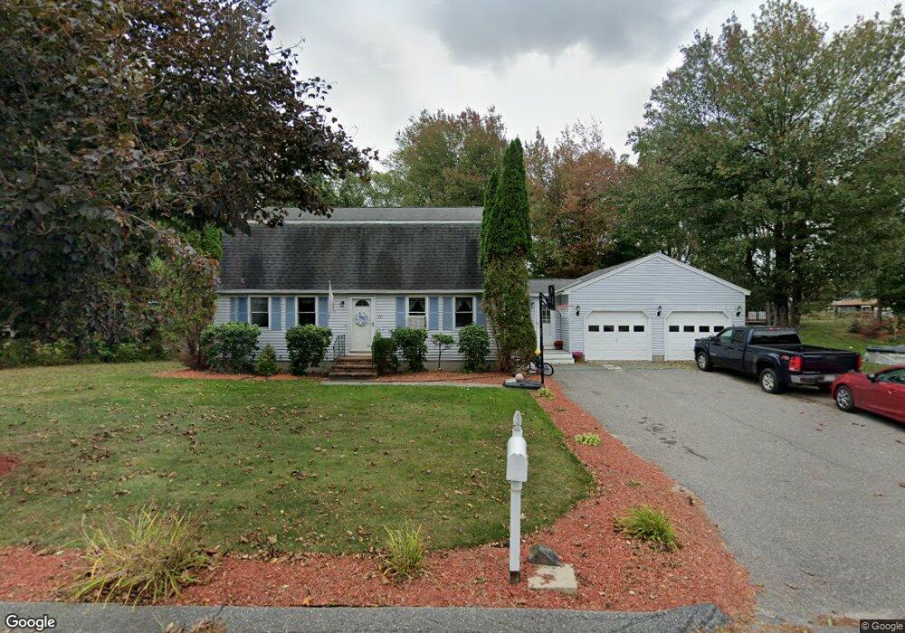
237 Birchcroft Rd Leominster, MA 01453
Estimated Value: $506,000 - $587,000
3
Beds
2
Baths
1,732
Sq Ft
$315/Sq Ft
Est. Value
About This Home
This home is located at 237 Birchcroft Rd, Leominster, MA 01453 and is currently estimated at $546,033, approximately $315 per square foot. 237 Birchcroft Rd is a home located in Worcester County with nearby schools including Leominster High School, St. Anna Catholic School, and St. Leo School.
Ownership History
Date
Name
Owned For
Owner Type
Purchase Details
Closed on
Aug 31, 1995
Sold by
Ford Consumer Finance
Bought by
King Timothy and King Lisa
Current Estimated Value
Home Financials for this Owner
Home Financials are based on the most recent Mortgage that was taken out on this home.
Original Mortgage
$114,950
Interest Rate
7.61%
Mortgage Type
Purchase Money Mortgage
Create a Home Valuation Report for This Property
The Home Valuation Report is an in-depth analysis detailing your home's value as well as a comparison with similar homes in the area
Home Values in the Area
Average Home Value in this Area
Purchase History
| Date | Buyer | Sale Price | Title Company |
|---|---|---|---|
| King Timothy | $122,500 | -- |
Source: Public Records
Mortgage History
| Date | Status | Borrower | Loan Amount |
|---|---|---|---|
| Open | King Timothy | $176,650 | |
| Closed | King Timothy | $168,000 | |
| Closed | King Timothy | $114,950 |
Source: Public Records
Tax History Compared to Growth
Tax History
| Year | Tax Paid | Tax Assessment Tax Assessment Total Assessment is a certain percentage of the fair market value that is determined by local assessors to be the total taxable value of land and additions on the property. | Land | Improvement |
|---|---|---|---|---|
| 2025 | $6,323 | $450,700 | $150,700 | $300,000 |
| 2024 | $6,287 | $433,300 | $143,500 | $289,800 |
| 2023 | $5,941 | $382,300 | $124,800 | $257,500 |
| 2022 | $5,654 | $341,400 | $108,600 | $232,800 |
| 2021 | $5,325 | $293,700 | $84,500 | $209,200 |
| 2020 | $5,090 | $283,100 | $84,500 | $198,600 |
| 2019 | $4,941 | $266,500 | $80,400 | $186,100 |
| 2018 | $4,904 | $253,700 | $78,000 | $175,700 |
| 2017 | $4,739 | $240,200 | $72,900 | $167,300 |
| 2016 | $4,623 | $236,100 | $72,900 | $163,200 |
| 2015 | $4,265 | $219,400 | $72,900 | $146,500 |
| 2014 | $4,188 | $221,700 | $79,300 | $142,400 |
Source: Public Records
Map
Nearby Homes
- 12 Walden Ct
- 25 Crimson Ct
- 871 Pleasant St
- 24 Starling Way
- 47 Carolyn St
- 15 Peach Tree Ln
- 35 Hill St
- 112 Overlook Dr
- 41 Hill St
- 6 Argentine St
- 74 Crisci St
- 102 Chapman Place Unit 102
- 76 Jamestown Rd
- 46 Eugene St
- 109 Weathervane Dr
- 197 Chapman Place Unit 197
- 28 Dupont Cir
- 482 Grant St
- 23 Lantern Ln
- 3 Leo Gagnon Way Unit 3
- 231 Birchcroft Rd
- 711 Union St
- 243 Birchcroft Rd
- 703 Union St
- 719 Union St
- 238 Birchcroft Rd
- 725 Union St
- 693 Union St
- 225 Birchcroft Rd
- 226 Birchcroft Rd
- 244 Birchcroft Rd
- 10 Grant St
- 724 Union St
- 100 Glenwood Dr
- 219 Birchcroft Rd
- 681 Union St
- 216 Birchcroft Rd
- 99 Glenwood Dr
- 743 Union St
- 47 Comstock Rd