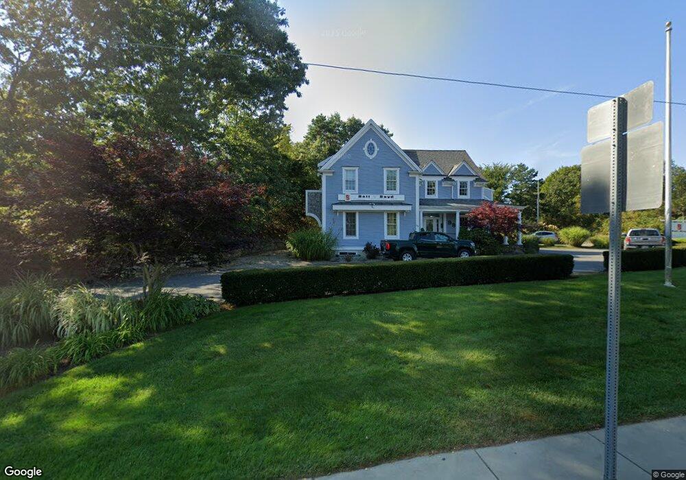
237 Cotuit Rd Marstons Mills, MA 2648
Marstons Mills NeighborhoodEstimated Value: $784,661
Studio
2
Baths
2,482
Sq Ft
$316/Sq Ft
Est. Value
About This Home
This home is located at 237 Cotuit Rd, Marstons Mills, MA 2648 and is currently estimated at $784,661, approximately $316 per square foot. 237 Cotuit Rd is a home located in Barnstable County with nearby schools including West Villages Elementary School, Barnstable United Elementary School, and Barnstable Intermediate School.
Ownership History
Date
Name
Owned For
Owner Type
Purchase Details
Closed on
Apr 1, 2011
Sold by
Mcshane John J and Td Bank Na
Bought by
Ball & Boyd Rt and Ball
Current Estimated Value
Home Financials for this Owner
Home Financials are based on the most recent Mortgage that was taken out on this home.
Original Mortgage
$248,000
Outstanding Balance
$171,780
Interest Rate
5.04%
Mortgage Type
Commercial
Estimated Equity
$612,881
Purchase Details
Closed on
Dec 21, 2004
Sold by
Mcshane Constr Comp
Bought by
Mcshane Gaile and Mcshane John J
Create a Home Valuation Report for This Property
The Home Valuation Report is an in-depth analysis detailing your home's value as well as a comparison with similar homes in the area
Home Values in the Area
Average Home Value in this Area
Purchase History
| Date | Buyer | Sale Price | Title Company |
|---|---|---|---|
| Ball & Boyd Rt | $290,000 | -- | |
| Ball & Boyd Rt | $290,000 | -- | |
| Mcshane Gaile | $400,000 | -- | |
| Mcshane Gaile | $400,000 | -- |
Source: Public Records
Mortgage History
| Date | Status | Borrower | Loan Amount |
|---|---|---|---|
| Open | Ball & Boyd Rt | $248,000 | |
| Closed | Mcshane Gaile | $248,000 |
Source: Public Records
Tax History Compared to Growth
Tax History
| Year | Tax Paid | Tax Assessment Tax Assessment Total Assessment is a certain percentage of the fair market value that is determined by local assessors to be the total taxable value of land and additions on the property. | Land | Improvement |
|---|---|---|---|---|
| 2025 | $4,240 | $584,800 | $126,800 | $458,000 |
| 2024 | $3,888 | $549,100 | $126,800 | $422,300 |
| 2023 | $4,228 | $549,100 | $126,800 | $422,300 |
| 2022 | $5,021 | $567,300 | $140,900 | $426,400 |
| 2021 | $5,473 | $567,100 | $140,900 | $426,200 |
| 2020 | $4,959 | $491,000 | $124,500 | $366,500 |
| 2019 | $5,145 | $495,200 | $124,500 | $370,700 |
| 2018 | $5,064 | $490,700 | $124,500 | $366,200 |
| 2017 | $4,763 | $483,100 | $124,500 | $358,600 |
| 2016 | $4,831 | $483,100 | $124,500 | $358,600 |
| 2015 | $4,592 | $461,500 | $119,600 | $341,900 |
Source: Public Records
Map
Nearby Homes
- 34 Mistic Dr
- 3040 Falmouth Rd Unit H
- 3040 Falmouth Rd Unit H
- 192 Sandy Valley Rd
- 5 Conaumet Rd
- 152 Wakeby Rd
- 280 Ice Valley Rd
- 359 Baxter Neck Rd
- 15 Geraldine Rd
- 38 Lakeside Dr
- 68 Lakeside Dr
- 128 Lakeside Dr
- 78 Brittany Dr
- 7 Ebenezer
- 98 Bunker Hill Rd
- 602 Putnam Ave
- 32 Willington Ave
- 564 Cotuit Bay Dr
- 564 Cotuit Bay Dr
- 81 Falling Leaf Ln
- 191 Lovells Ln
- 231 Cotuit Rd
- 191 Lovell's Ln
- 0 Lovell's Ln
- 1954 Lovells Ln
- 195 Lovells Ln
- 195 Lovell's Ln
- 167 Lovells Ln
- 261 Massachusetts 149
- 261 Cotuit Rd
- 223 Massachusetts 149
- 201 Lovells Ln
- 221 Cotuit Rd
- 201 Lovell's Ln
- 223 Cotuit Rd
- 230 Cotuit Rd
- 205 Lovells Ln
- 270 Cotuit Rd
- 205 Lovell's Ln
- 227 Cotuit Rd